Home Blog KML to DXF Converter: Google Earth Data in AutoCAD
📲 Web-App

KML to DXF Converter: Google Earth Data in AutoCAD

🧮 4  |  🟢 4
06 Jul 2026 Trishunya Team
KML to DXF Converter: Google Earth Data in AutoCAD
06 Jul 2026 GIS

KML to DXF Converter: Google Earth Data in AutoCAD

TI
Trishunya India
📱 Converter 📱 Web-App
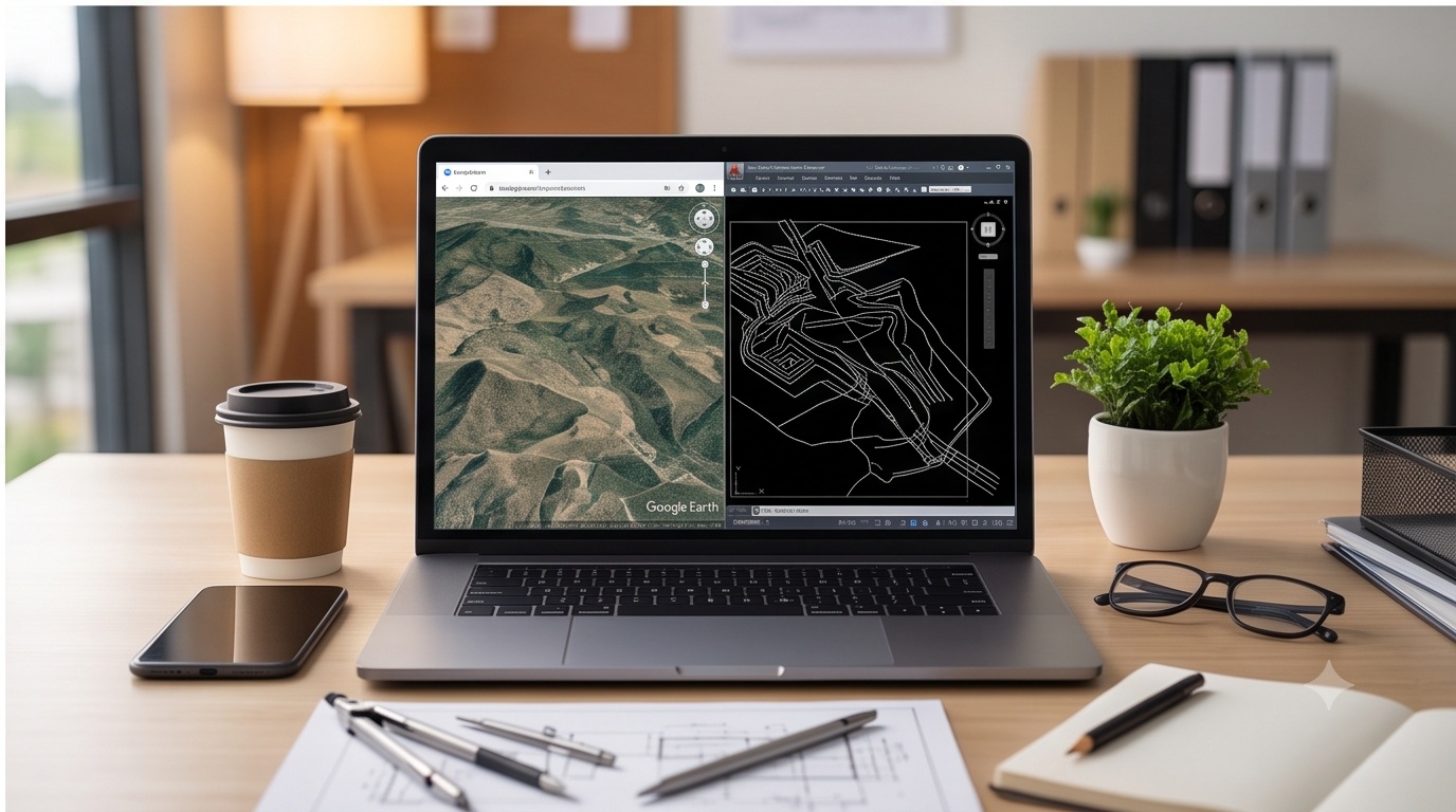
KML to DXF converter tool showing Google Earth placemark data being mapped to AutoCAD drawing coordinates

Bidirectional KML ↔ DXF Converter, Runs Entirely in Your Browser

3
Geometry Types
AC1009
DXF Standard (R12)
2-Way
KML ↔ DXF
0
Server Uploads
Watch how it works (demo)
trishunya.com/tools/kml-dxf-converter
boundary_survey.kml
Converting geometry…
This is a sample animation only. Use the real converter below to convert your own file.
Everything runs locally in this browser tab. Your file is never uploaded anywhere.
Projected coordinates detected: one or more X/Y values in this DXF fall outside the ±180 / ±90 degree range, so they cannot be plain WGS84 longitude/latitude. This DXF is almost certainly in a projected system such as UTM (values in metres). A DXF file carries no coordinate reference system tag at all, so this converter can only assume the numbers already are geographic. The KML below has been generated anyway using the raw numbers as if they were degrees, treat it as unreliable until the source data is reprojected to WGS84 first.
Conversion complete. ⬇ Download
Coordinate system caveat: KML is always WGS84 decimal-degree longitude,latitude by definition, that part is never in question. DXF carries no coordinate reference system information whatsoever, an X/Y pair could be degrees, UTM metres, or a local site grid with no way to tell from the file itself. When converting DXF to KML, this tool checks whether the values are plausible as longitude and latitude before writing anything, and warns you clearly if they are not.
Field Engineering Insight

KML has zero coordinate-system ambiguity, it is WGS84 lon,lat by OGC specification, full stop. DXF has zero coordinate-system information, full stop, opposite problem, same headache. One format over-specifies and the other under-specifies, and a converter that does not say so out loud is how a boundary marker in Nashik ends up plotted somewhere near Lagos.

KML Point KML LineString KML Polygon DXF POINT DXF POLYLINE DXF TEXT label

Why a KML to DXF Converter Earns Its Keep on Site

A KML to DXF converter is the tool you reach for the day a client emails a Google Earth placemark of a boundary corner and your draughtsman needs it as a block inside AutoCAD by evening, or the reverse, when a drone-derived DXF alignment has to open cleanly in Google Earth for a site review call. KML is WGS84 decimal-degree longitude, latitude by definition, always, no exceptions. DXF carries no coordinate system tag at all, which is exactly why our GIS solutions team treats every DXF import as unverified until the numbers are checked.

The Lon,Lat Mistake That Ruins More Conversions Than Anything Else

The single most common failure in this conversion is ordering: KML coordinates are written longitude first, then latitude, backward from how most people say coordinates aloud. Swap them and every point lands correctly in scale but wrong in position, sometimes off by a hemisphere. Feed a raw UTM DXF straight into a KML writer without checking magnitude and the same thing happens silently. Pairing this converter with a proper GIS dashboard workflow keeps that check visible instead of buried in a spreadsheet.

Back to all articles