Technology

Stakeout

Physical marking of design coordinates on the ground — tower foundations, column grids, road alignments, plot corners — from CAD/GIS drawings with millimeter accuracy.

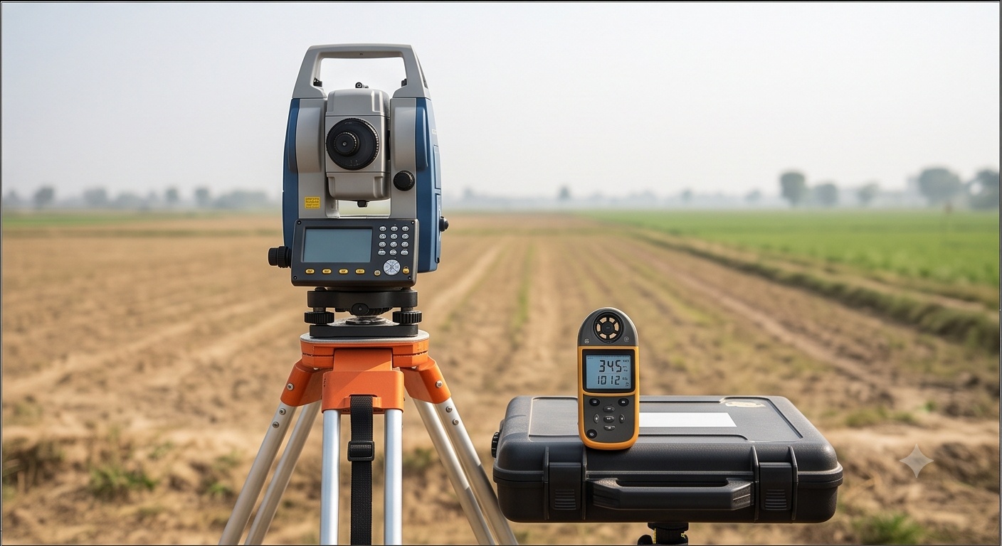
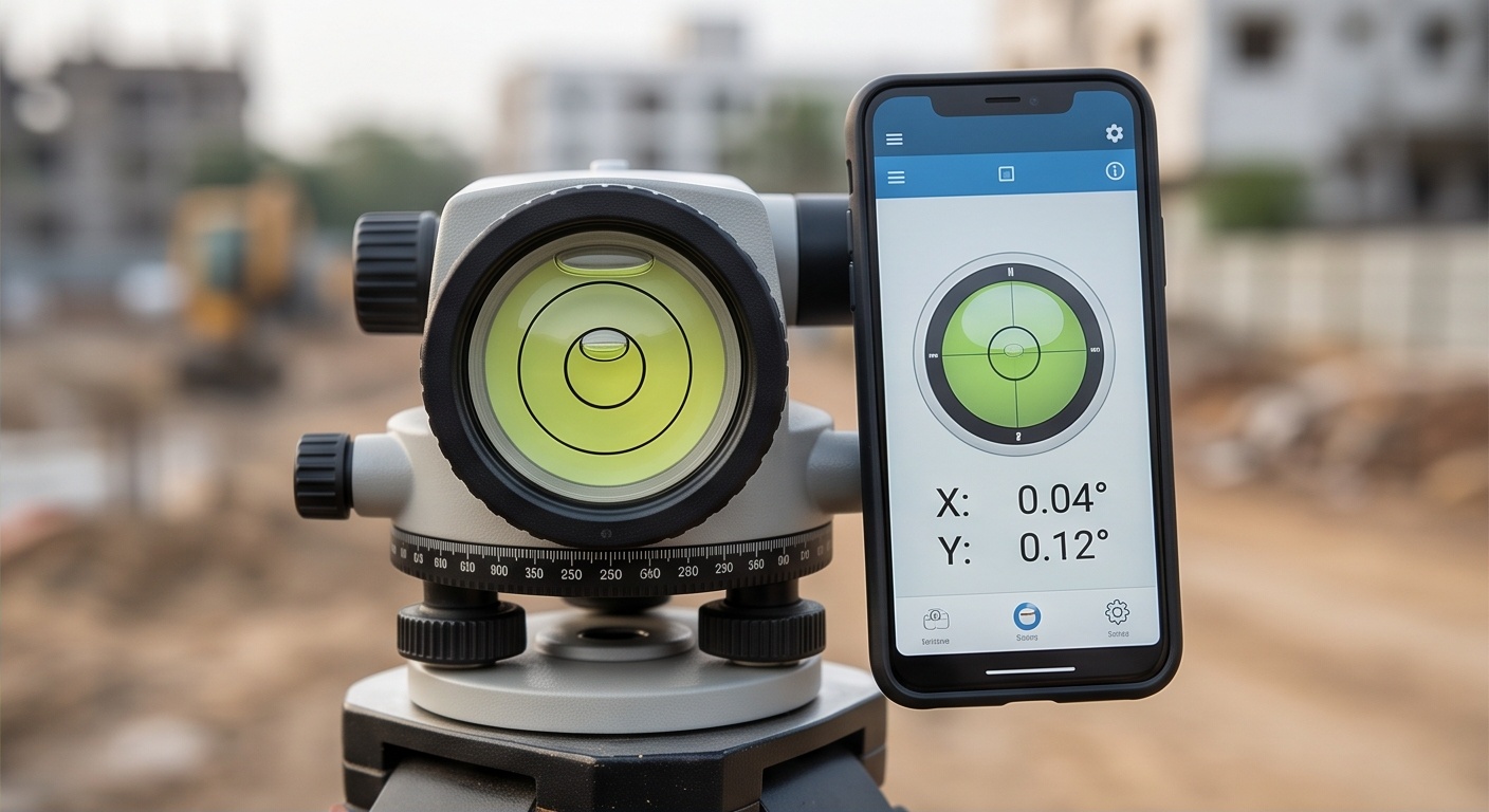
Equipment usedDGPS, Total Station
DeliverableField Work — Marking
About this technology

What we deliver, and how

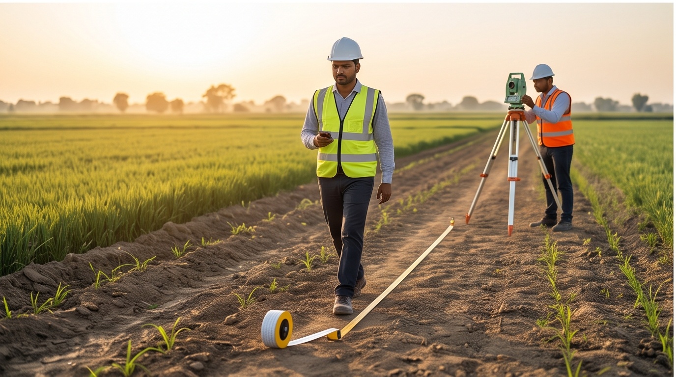
Stakeout is the reverse of a normal survey: instead of recording what exists on the ground, Trishunya's field teams take coordinates directly from an approved CAD or GIS design drawing and physically mark those exact points on site using DGPS or Total Station equipment, accurate to within millimeters. It's the step that turns a design drawing into something a construction crew can actually build against.

This is used to mark transmission tower foundation points before civil work begins, to lay out building column grids on a construction site, to mark road and highway alignment centerlines, and to lay out solar panel row positions — anywhere a design needs to be transferred from paper to the physical ground with construction-grade precision.

Common applications

Where this is used

Blogs on this topic

Further reading

Start a project

Get a same-day quote for Stakeout

Send us your site location and requirement — we respond on WhatsApp within working hours, anywhere in India.

Field photos from current Stakeout projects are being added — sample outputs are available on request over WhatsApp.