Technology

RGB Scan

High-resolution photogrammetric image capture for creating detailed 3D models of structures, terrain, and assets using drone or handheld RGB cameras.

Equipment usedDrone, Handheld RGB Cam
DeliverableRGB Images or 3D Mesh Model
About this technology

What we deliver, and how

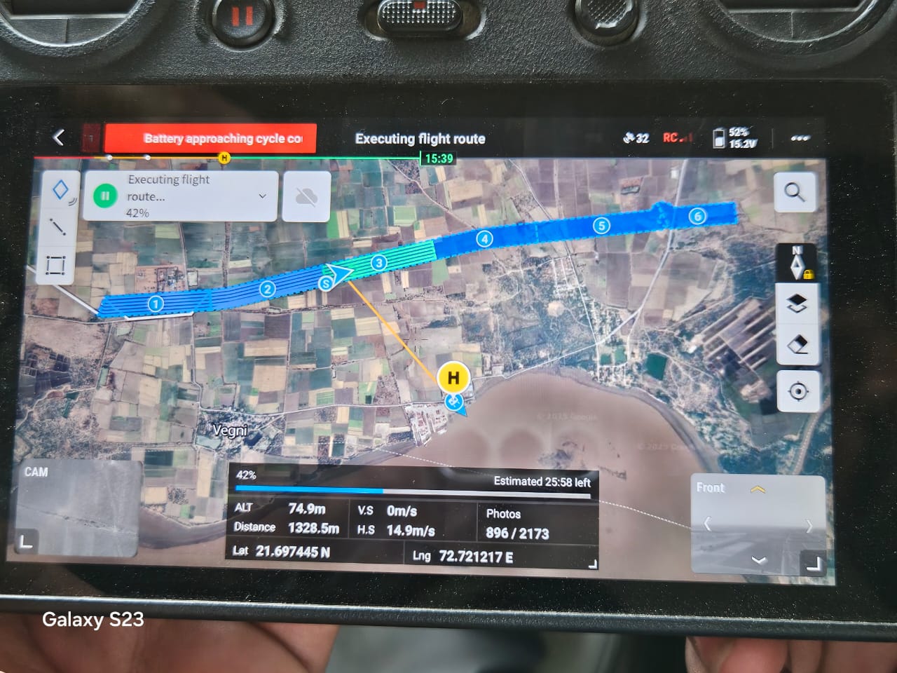
RGB scanning is high-resolution photographic capture — using drone-mounted or handheld cameras — specifically planned and overlapped to feed photogrammetry software and produce detailed 3D models or dense image sets of a structure or site. The "RGB" simply refers to standard visible-light color imagery, as opposed to thermal or LiDAR sensors.

Trishunya deploys RGB scanning for close-range bridge and building inspection, structural assessment of transmission towers, volumetric surveying of quarries and mine faces, and detailed documentation of historical structures — cases where visual accuracy and fine surface detail matter more than raw survey speed.

Common applications

Where this is used

Blogs on this topic

Further reading

Start a project

Get a same-day quote for RGB Scan

Send us your site location and requirement — we respond on WhatsApp within working hours, anywhere in India.

Field photos from current RGB Scan projects are being added — sample outputs are available on request over WhatsApp.