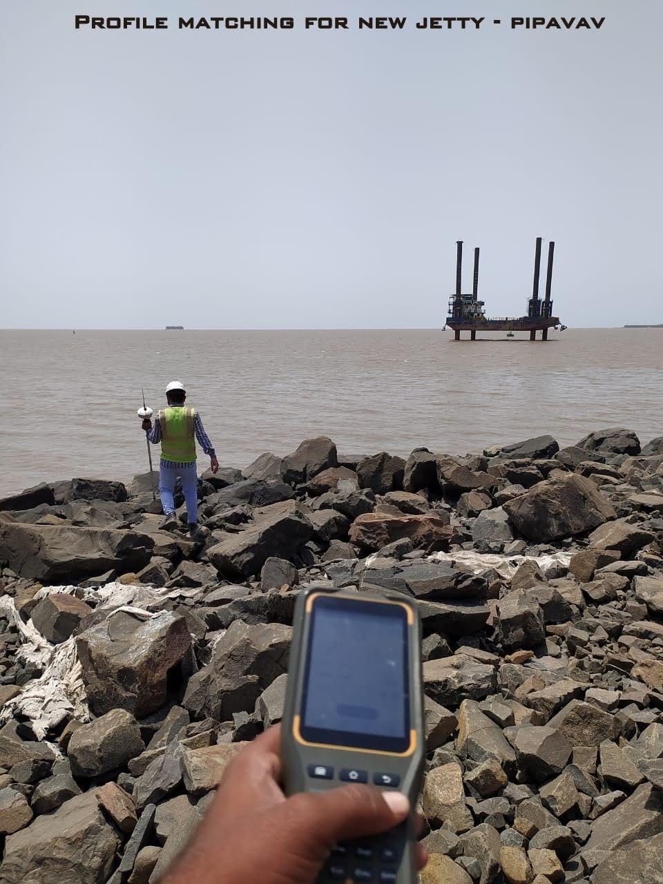
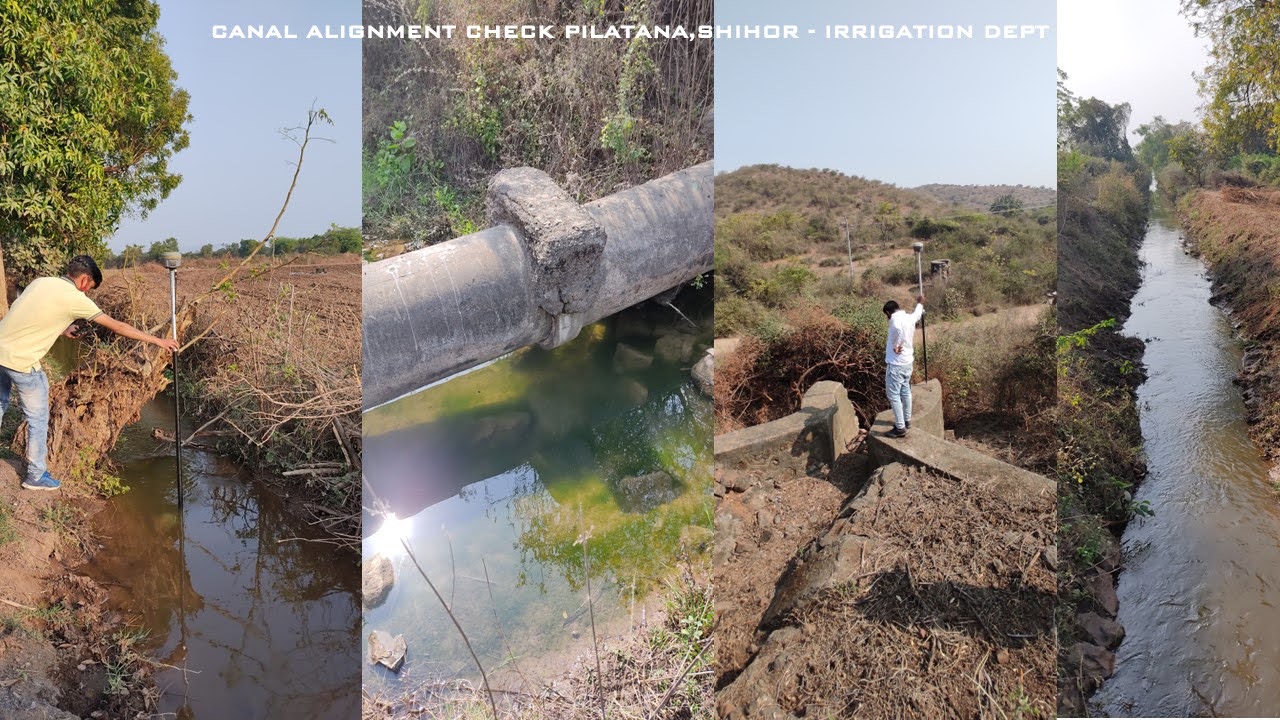
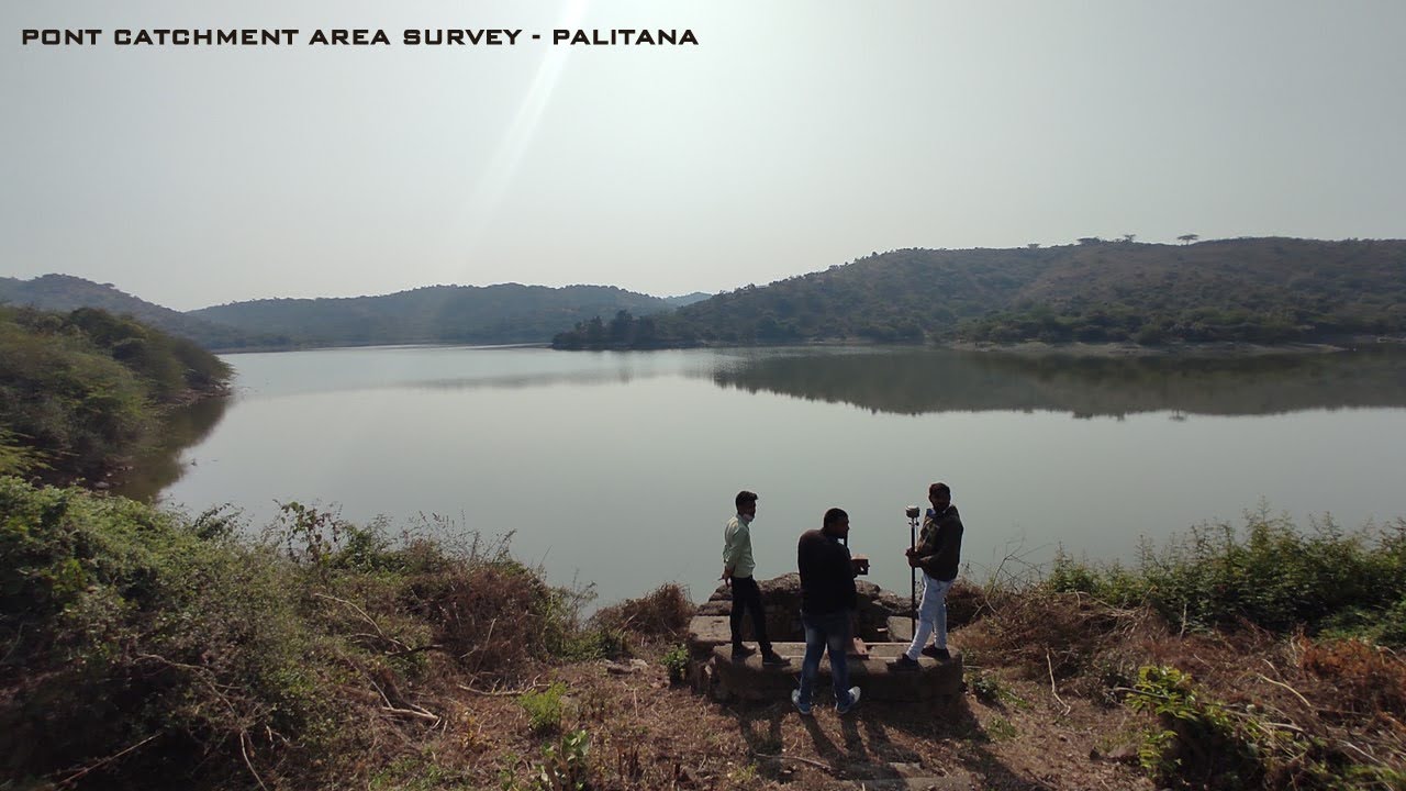
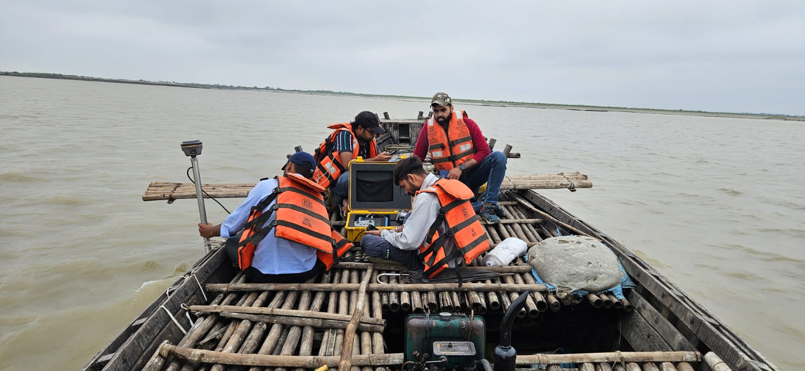
Hydrographic and Bathymetric Survey
Specialized surveying for water bodies: irrigation planning, dredging, capacity estimation, flood analysis using bathymetric data combined with shoreline mapping.
Specialized surveying for water bodies: irrigation planning, dredging, capacity estimation, flood analysis using bathymetric data combined with shoreline mapping.
Combined above-water and underwater mapping capabilities.
Accurate sedimentation and silt volume analysis.
Equipment adaptable for shallow creeks and deep reservoirs.
| Work Type | Description | Equipment Used | Deliverable |
|---|---|---|---|
| Underwater Survey | Bathymetric mapping to measure depth and map bed profile of water bodies. | Sonar (SBES) | Level Drawing, L/S Sheet, Tidal level data |
| Quantity Takeoff | Calculation of water holding capacity or silt volume. | Analysis Documentation | Bill of Quantities, Cut/Fill Data |
| Hydrological Analysis | Study of water flow patterns, catchment areas, and flood risks. | Analysis Documentation | Analysis Report |
.jpg)
.jpg)
.jpg)
Get a same-day quote for Hydrographic and Bathymetric Survey anywhere in India.
Send WhatsApp Enquiry