Linear Project Survey (Pipeline, Road, Railway)
Geospatial solutions for linear infrastructure: efficient alignment planning and earthwork optimization for highways, railways, pipelines, and metro corridors.
Geospatial solutions for linear infrastructure: efficient alignment planning and earthwork optimization for highways, railways, pipelines, and metro corridors.
High-speed data acquisition for long-distance corridors.
Integration of subsurface GPR data with surface maps.
Phase-wise video telemetry progress documentation.
Accurate contour and L/S preparation with cut/fill calculations.
| Work Type | Description | Equipment Used | Deliverable |
|---|---|---|---|
| Telemetry Video | Visual documentation of entire route alignment. | Drone 360° Cam | Video with Chainage, GPS, Markups |
| DEM, DTM & ORTHO | 3D terrain models to calculate gradients for alignment. | Drone | GeoTiff DEM / DTM / Orthomosaic |
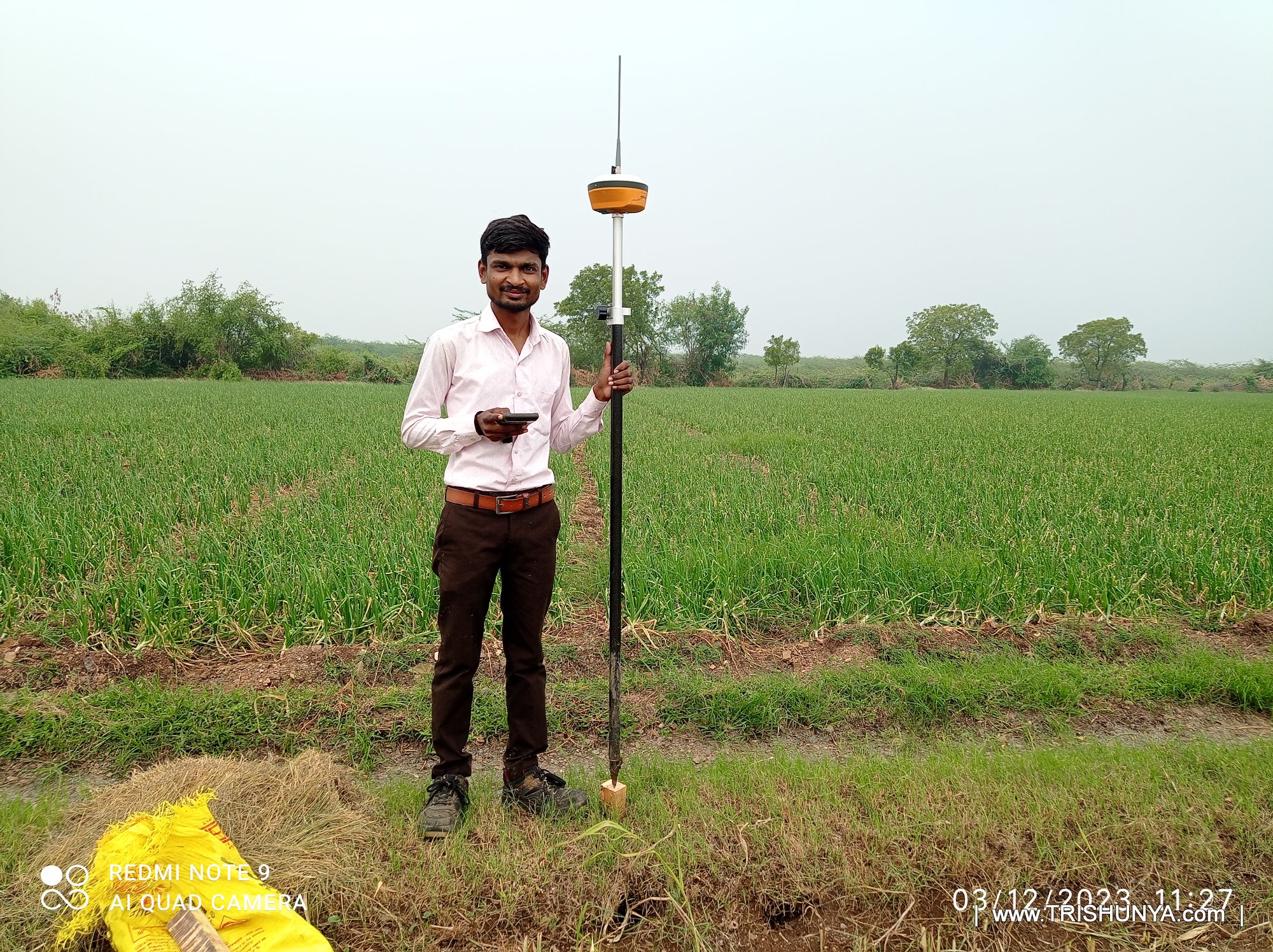
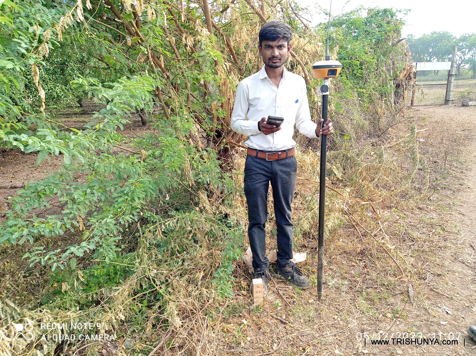
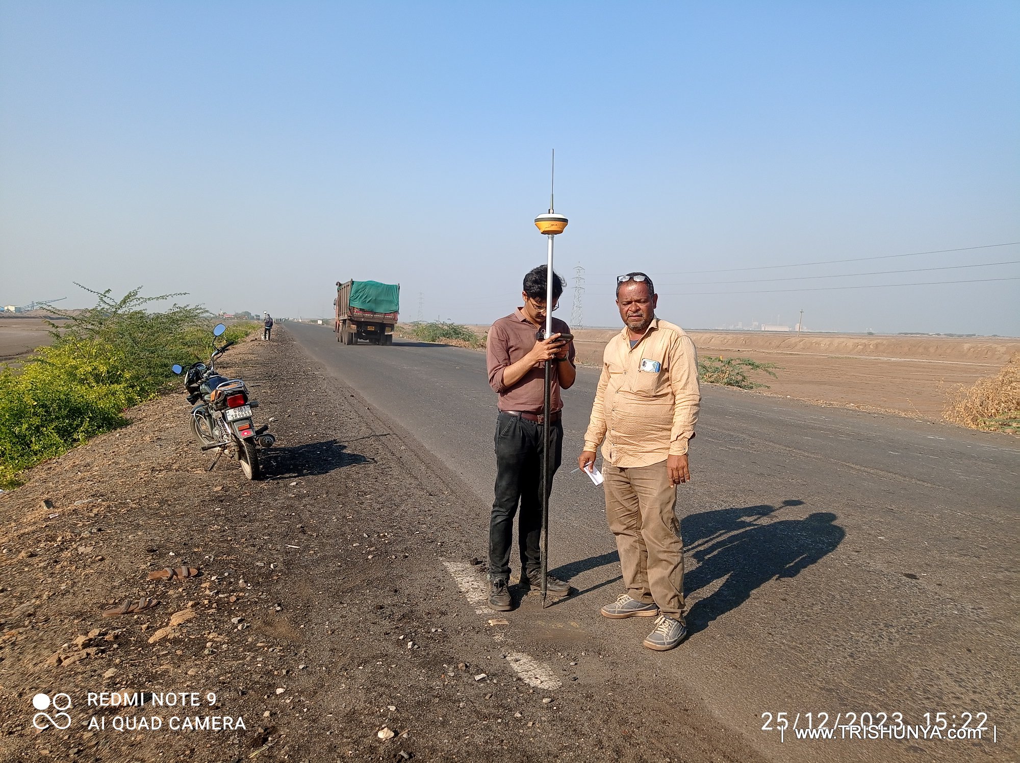
| Topography | Full-scale topographical mapping of existing ground features. | Drone DGPS | Topography Drawing |
| Ground Subsurface Scan | Non-destructive detection of underground utilities. | GPR | Drawing and Scan Report |
| Quantity Takeoff | Precise volumetric calculations for earthworks. | Analysis Documentation | Bill of Quantities, Cut/Fill Data |
| Hydrological Analysis | Water flow and catchment analysis for drainage design. | Analysis Documentation | Analysis Report |
| Land Acquisition | Mapping affected plots for legal land transfer. | Analysis Documentation | Village map based acquisition drawing |
.JPG)
.jpg)
.JPG)
.jpg)
Get a same-day quote for Linear Project Survey (Pipeline, Road, Railway) anywhere in India.
Send WhatsApp Enquiry