CSV to KML Converter: Plot Survey Points in Google Earth
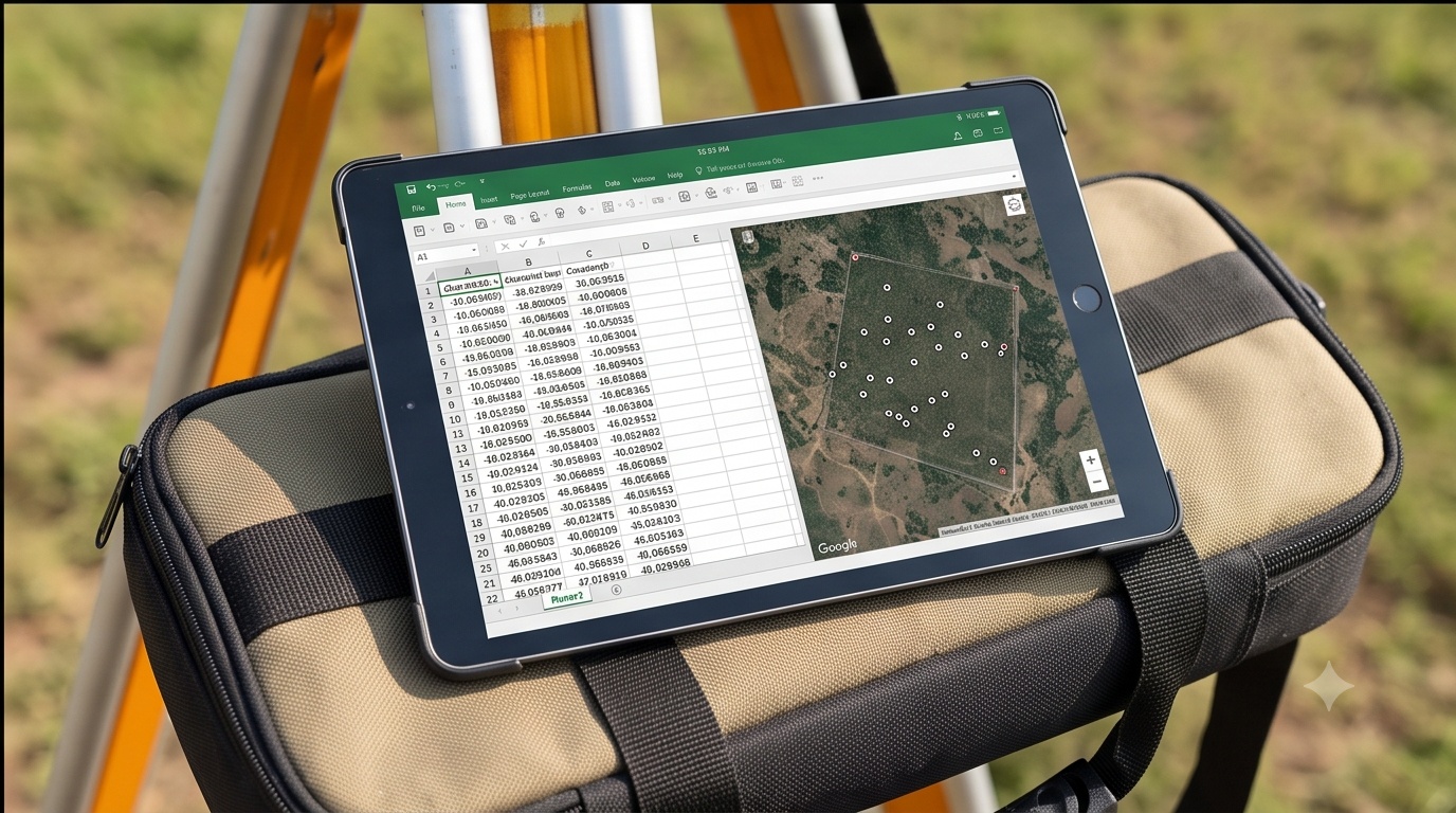
CSV to KML Converter for Survey Placemarks
Upload your point CSV, assign the columns yourself, download a Google Earth ready KML.
Watch how it works
Demo, not the real uploaderThis mock window loops with sample data so you can see the flow before touching your own file. The real uploader with column assignment is underneath it.
Upload your point CSV
Everything runs locally in your browser. No file is ever sent to a server. Latitude, Longitude, Name and Description columns can be in any order, you decide below.
KML's own coordinate tuple is longitude first, then latitude, then an optional elevation, comma separated with no space inside the tuple. That is backwards from how anyone reads a location out loud, and a hand typed KML file with the order flipped still opens fine, it just drops every pin somewhere else on the globe.
Because this tool asks you to assign Latitude and Longitude as separate roles from a preview table, it writes the coordinate string in the correct lon,lat order for every placemark automatically, so the ordering mistake never gets a chance to happen.
Why a CSV to KML Converter Beats Emailing a Spreadsheet of Coordinates
A CSV to KML converter turns a spreadsheet nobody wants to open into a map anybody can. Clients and field crews rarely want raw coordinate columns in a table, they want to open Google Earth, see the pins, and zoom straight to the ridge line or drain crossing under discussion. That is the entire value of this tool: a few minutes of column mapping instead of a redraw request before tomorrow's site visit.
CSV to KML Conversion: Longitude Before Latitude, No Silent Reprojection
Inside a KML coordinates tag the order is longitude, latitude, elevation, the reverse of how most people say a location out loud. Miss that swap once and every point lands somewhere else on the globe, often still on land, which makes the mistake easy to ship and hard to notice until someone drives to the wrong gate. This converter writes that order for you every time, from whichever columns you assign.
It also refuses to guess. If a CSV carries UTM eastings and northings instead of decimal degrees, this tool will not silently invent a reprojection, doing that without a known zone and datum produces coordinates that look plausible and are wrong. Reproject to WGS84 latitude and longitude first, our GIS solutions team handles that routinely on incoming field data, then feed the clean CSV through this tool or into a full GIS dashboard workflow for ongoing project tracking.