Lat-Long to UTM Converter: Batch Convert with Auto Zone Detection
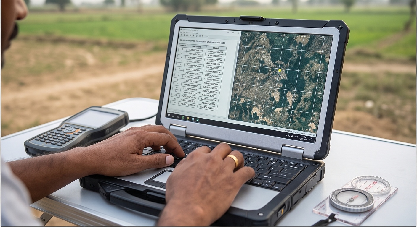
Batch Lat-Long to UTM Converter with Automatic Zone Detection
Paste one coordinate pair per line. The tool detects the direction and the zone for you.
Paste your coordinates
Everything runs locally in your browser, nothing is uploaded. Mix directions freely: a lat/lon line converts forward to UTM, an easting/northing line (with a zone) converts back to lat/lon.
lat, lon in decimal degrees. Reverse lines: easting, northing, zone such as 715980, 3167205, 43N.| Input | Direction | Converted Result | Zone | Status |
|---|
Every UTM zone has one central meridian running through its exact middle, the single line of longitude where the projection introduces zero scale distortion. Move away from it and every distance measured on the flat UTM grid becomes very slightly longer than the same distance on the curved earth, growing to roughly 1 part in 2,500 near a zone's outer edge. That is why the scale factor k0 at the central meridian is set to 0.9996 instead of 1.0, a deliberate small shrink at the centre that keeps the maximum error balanced across the full 6-degree width of the zone.
Lat-Long to UTM Conversion: Why India Needs Six Zones, Not One
Converting Lat-Long to UTM only stays accurate when the correct zone is used, and India is wide enough, roughly 68°E to 97°E, that no single zone can cover the whole country cleanly. That is why the national grid splits across UTM zones 42N to 47N, each a narrow 6-degree band of longitude with its own central meridian, the line where distortion drops to zero. Move toward a zone's edge and that distortion climbs to about 1 part in 2,500, which is exactly why zone choice matters for area and distance work, not just for a map looking correct.
Geographic vs Projected Coordinates: When to Work in Metres
Latitude and longitude in degrees remain the right choice for basic mapping, GPS interchange, and handing a location to another agency. The moment real distance or area math enters the picture, chainage along a pipeline route, plot area in square metres, offset from a centreline, switch to UTM easting and northing, both already in metres on a flat grid. Our DGPS and RTK survey teams work in UTM through the field day for exactly this reason, and it stays the working system across most topography mapping in India. This converter moves both directions and auto-detects the zone, so switching never means opening a separate reference table.
| Zone | EPSG Code | Central Meridian | Approx. Coverage in India |
|---|---|---|---|
| 42N | EPSG:32642 | 69°E | Western Kutch (Gujarat), Arabian Sea margin |
| 43N | EPSG:32643 | 75°E | Gujarat, Rajasthan, Delhi, Haryana, Punjab, western Madhya Pradesh |
| 44N | EPSG:32644 | 81°E | Uttar Pradesh, Uttarakhand, eastern Madhya Pradesh, western Chhattisgarh and Odisha |
| 45N | EPSG:32645 | 87°E | Bihar, Jharkhand, West Bengal, Sikkim, eastern Odisha |
| 46N | EPSG:32646 | 93°E | Assam, Meghalaya, Tripura, Mizoram, Manipur, Nagaland |
| 47N | EPSG:32647 | 99°E | Eastern Arunachal Pradesh, Andaman & Nicobar Islands |