WGS84 Datum Converter: Convert to UTM and Preview an Everest 1830 Shift
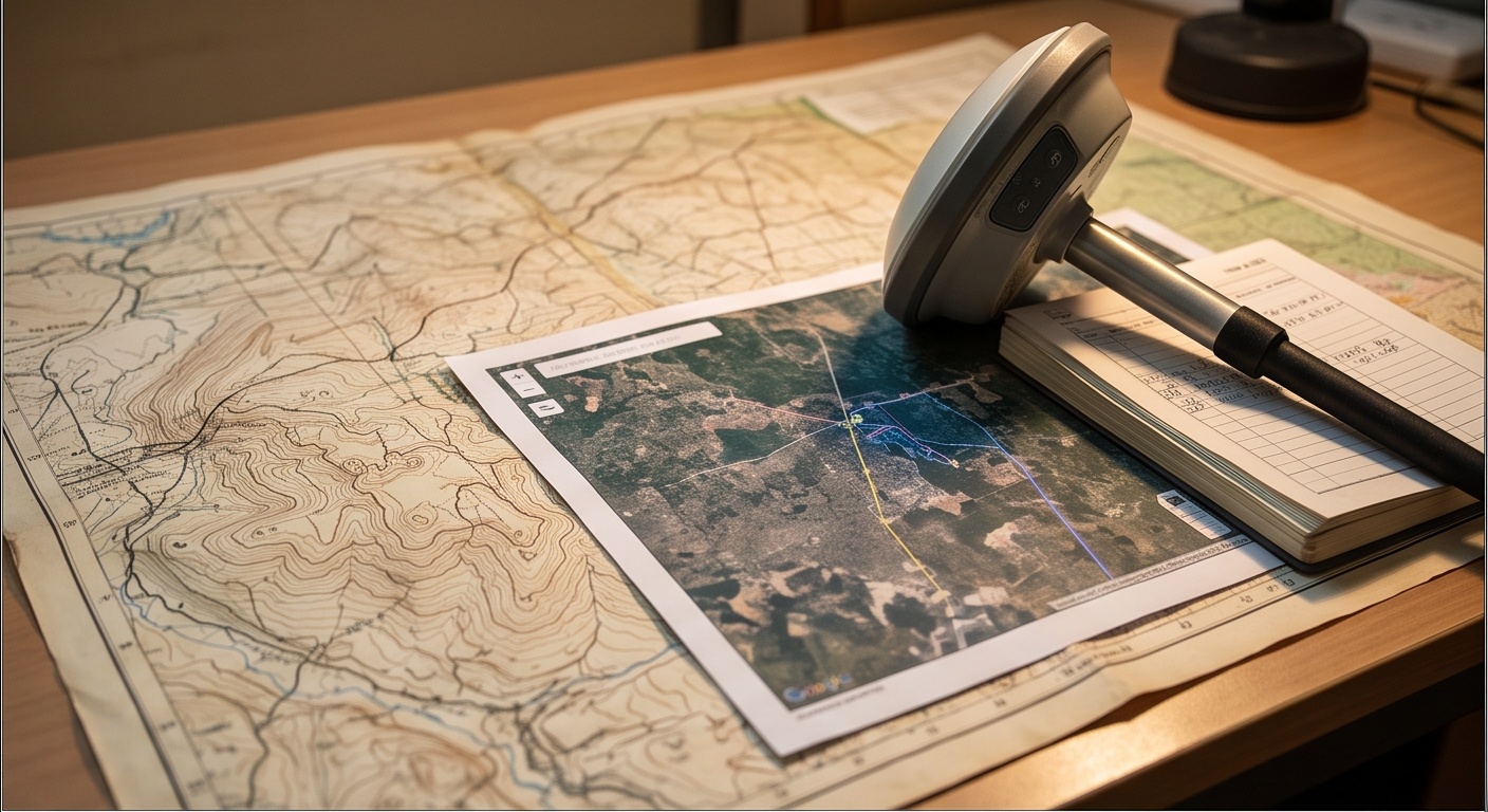
Coordinate and Datum Converter: WGS84 to UTM, with an Everest 1830 Shift Preview
Type a latitude and longitude, or an easting/northing and zone. Everything below updates as you type.
Enter a coordinate
Runs entirely in your browser, nothing is uploaded anywhere. Fill in the lat/lon fields, or the UTM fields, either side updates the other automatically.
See what a local-datum offset would look like
India's classical Everest 1830 datum and today's satellite-based WGS84 do not share an origin or an ellipsoid, so the same physical point carries different coordinates in each. Nobody, including this page, should quote you a single fixed number for that difference without knowing your exact project zone. Instead, drag the sliders below to see how far a point would move on the map for a given offset distance and direction. This is a visual aid for understanding scale, not a lookup of the real Everest 1830 coordinate.
A real Everest 1830 or Indian State Plane transformation needs the exact published parameters for the applicable zone and adjustment, issued by the Survey of India or the relevant state authority. Mixing datums using a guessed or generic constant instead of those published parameters is exactly the mistake that later shows up as boundary and overlay errors on the ground.
Bonus: check the UTM result against a real external authority
This page's own UTM math is self-tested above, but it is worth showing that independent, published coordinate transformation parameters exist and are one request away. The button below sends your current point to epsg.io's public transform endpoint and asks it to convert WGS84 (EPSG:4326) to the UTM zone EPSG code matching your point, purely as a live cross-check. If your network or browser blocks the request, the note below says so plainly and nothing else on this page is affected.
Historic India-region local datum differences from WGS84 are commonly cited in general references as being on the order of a few hundred metres, and the direction and exact magnitude vary by region and by which classical adjustment was used. Presenting one fixed shift as fact would be wrong for most zones and dangerous for cadastral work, so this tool deliberately keeps that number in your hands as a slider, clearly marked illustrative.
If a project genuinely needs Everest 1830 or an Indian State Plane output, the correct path is the published transformation parameters for that specific zone from the Survey of India, applied through proper geodetic software, not a generic online converter.
What Breaks When a WGS84 Datum Converter Overlay Meets an Old Everest Map
A WGS84 datum converter and a datum shift are two different problems. WGS84 is the satellite reference frame every GPS receiver in India reports against today. Everest 1830, fixed over a century earlier for the Great Trigonometrical Survey, used a different ellipsoid anchored to ground control across the subcontinent. The two were never meant to agree, and at the same physical peg they can sit a few hundred metres apart.
The failure rarely looks dramatic. A drone orthomosaic in WGS84 laid over an old cadastral sheet in Everest 1830 can look close enough at a glance, until a fence line lands inside the wrong plot. Area totals stay consistent within each dataset alone, so nothing looks wrong until checked against the legal record, the overlay mistake our GIS solutions team gets called in to untangle.
Why a WGS84 Datum Converter Cannot Replace a Certified Transformation
UTM is a projection, not a datum, so converting lat/long to UTM above stays inside WGS84 throughout, and the math is exact and self-tested on load. A real Everest 1830 transformation needs the published parameters for your project zone from the Survey of India, not a generic constant, which is why the shift panel stays labelled illustrative. Confirm which datum any legacy topography drawing was surveyed in before overlaying fresh data on it.
| Reference Frame | Type | Where You Meet It in India | Note |
|---|---|---|---|
| WGS84 | Global geocentric datum | Every GPS, DGPS and RTK receiver output | Used throughout this converter, fully computed above |
| UTM (WGS84) | Projection, not a datum | Field survey grids, chainage, plot area math | Exact Snyder equations, self-tested round-trip |
| Everest 1830 | Classical local ellipsoid | Older cadastral and revenue survey drawings | Offset from WGS84 shown here only as an illustrative slider |
| Indian State Plane systems | State-specific projected grids | Some state land records and urban planning bodies | Requires the exact published parameters for that state/zone |