Universal Survey File Visualizer: KML, DXF, SHP, CSV
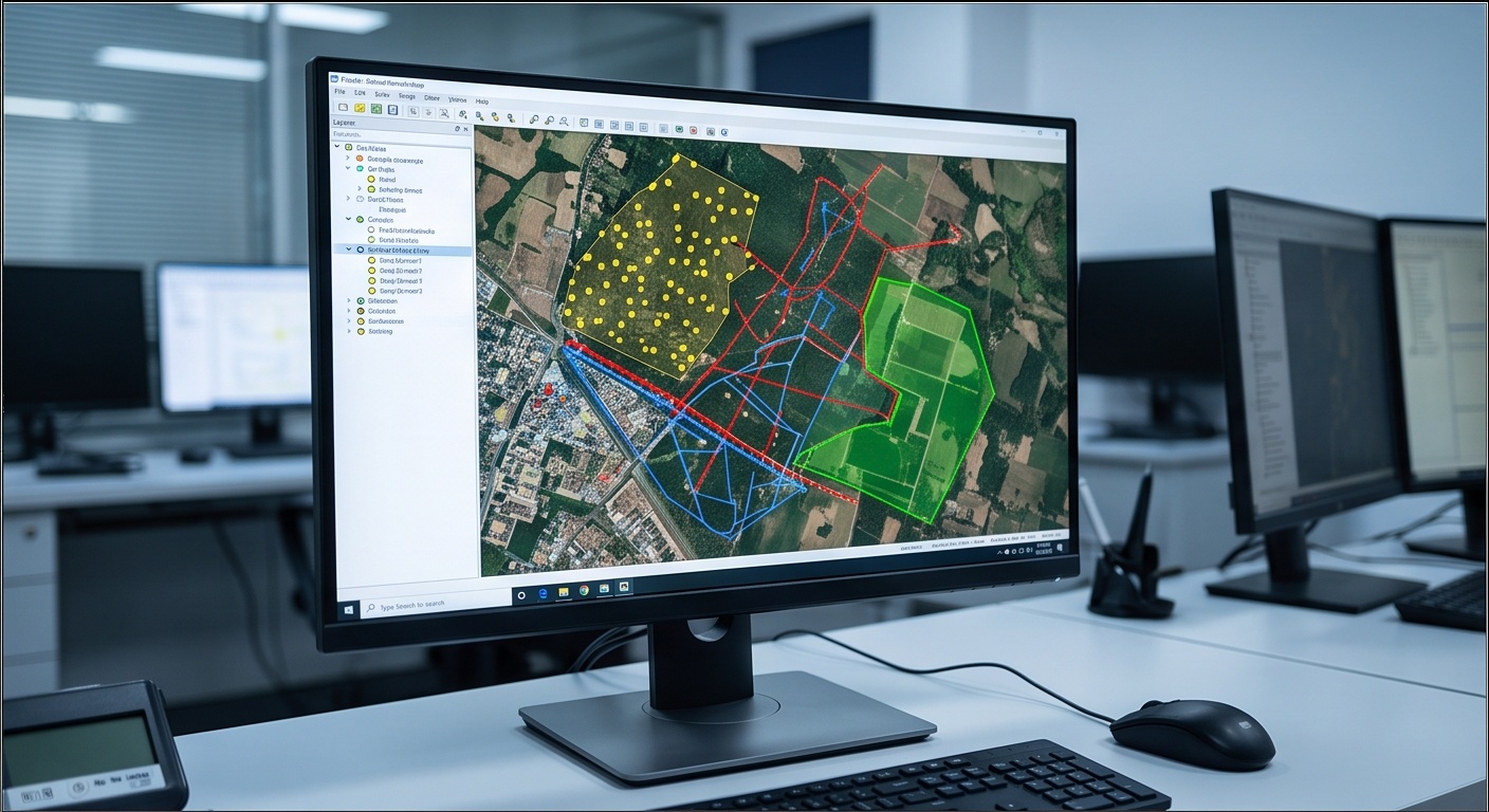
Drop a KML, KMZ, DXF, Shapefile, or CSV and See It on a Live Satellite Map
One parser per format, real geometry, click any feature for its attributes.
| Format | Geometry Read | Attribute Popup Shows |
|---|---|---|
| KML | Point, LineString, Polygon | Placemark name and description |
| KMZ | Same as KML, unzipped with JSZip first | Placemark name and description |
| DXF | POINT, LINE, LWPOLYLINE, POLYLINE/VERTEX | Layer name and entity type only |
| Shapefile (.zip) | Point, LineString, Polygon via shpjs | Every field from the .dbf table |
| Lone .SHP | Geometry only, no attribute source | None, zip with a .dbf for attributes |
| CSV | Point, one row per coordinate pair | Every other column in that row |
KML and CSV both carry an explicit or guessable coordinate meaning, longitude and latitude in degrees. DXF carries none at all, a bare X and Y with no tag anywhere in the format saying what unit or system they belong to. This visualizer checks every DXF coordinate against a plausible degree range before trusting it, because plotting a UTM easting as if it were a longitude puts a boundary marker somewhere in the ocean instead of on the map you are reviewing.
Why a Fast Visual Check Beats Opening Heavy GIS Software
A survey file visualizer earns its keep in the ninety seconds before AutoCAD, QGIS, or Civil 3D even finishes loading. Drop the export in, and an empty KML shows up as a blank map instead of a stalled import five minutes later. A Shapefile drawn in the wrong hemisphere because of a coordinate system mismatch stands out immediately against the satellite tile, rather than after a layout has already been built on top of it. A corrupted DBF table or a truncated CSV column shows up as missing attribute rows in the popup, not as a silent crash inside a desktop application.
What This Tool Catches Before You Import
The same check works across every format a field team hands off: a KMZ from a drone operator, a DXF from a total station traverse, or a Shapefile bundle from a contractor. Our GIS solutions team runs this kind of sanity pass on every incoming dataset before it enters a production workflow, because a two-minute preview catches problems that would otherwise surface hours into a topography deliverable. DXF has no built in coordinate reference system, so this viewer flags coordinates that fall outside plausible longitude and latitude ranges instead of plotting them silently in the wrong place.