Drone Fly Zone Checker: Red, Yellow, Green Explained
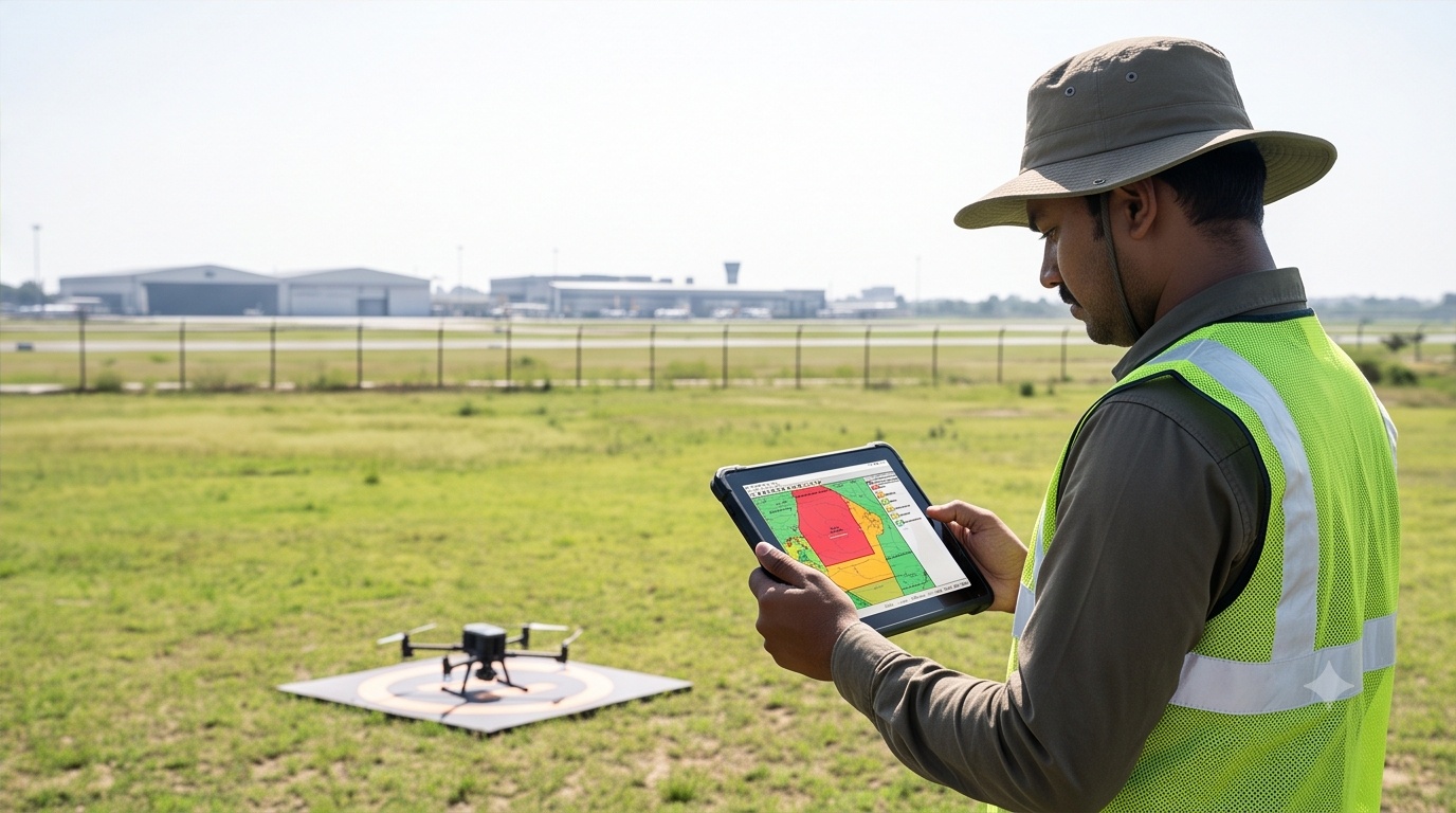
Illustrative Drone Fly Zone Concept Checker
Click anywhere on the satellite map to see an illustrative red, yellow, or green zone classification near major Indian airports.
Map could not load. Your connection may be blocking the map tiles. You can still read the illustrative buffer distances and airport list below, and the classification logic described in this article, but the interactive map is unavailable right now. Please refresh or check the DGCA Digital Sky Platform directly for real airspace status.
Illustrative Classification Result
Airports Plotted On This Map (Public, Approximate Coordinates)
Coordinates above are public, non-sensitive, general airport locations used only to draw illustrative buffer circles. They are simplified round distances, not the certified regulatory zone geometry published on Digital Sky, and this tool does not model border, defense, or state-specific restrictions.
What Red, Yellow, and Green Drone Fly Zones Actually Mean
A drone fly zone map sounds simple: red means stop, yellow means check first, green means proceed with normal caution. At the concept level shown above, illustrative red marks a tight ring close to a runway where drone operations are effectively off limits without direct authorization. Illustrative yellow marks a wider buffer where permission through Digital Sky is required before takeoff. Illustrative green marks open airspace where routine low-altitude flying, generally below 120 metres AGL, is typically permitted, subject to local exceptions like international borders and defense sites that this demo does not attempt to model.
Why the DGCA Digital Sky Platform Is the Only Source That Counts
The map above uses two clean circles because circles are easy to draw. The real airspace layer is not circular: it follows irregular polygons tied to runway orientation, terrain, and defense clearances, and those polygons get revised as airport operations change. That is why our drone survey teams pull the live NOC status from Digital Sky for the exact project coordinates before mobilizing equipment, rather than trusting a rule of thumb. The same discipline carries into data processing: any distortion introduced by a rushed or poorly cleared flight plan shows up later in the finished orthomosaic, so getting the airspace check right at the start matters twice over.
A round buffer is a teaching aid, not a clearance certificate. Two sites at the same distance from an airport can sit on opposite sides of a real, irregular boundary, one cleared, one not. Pull the actual zone status per coordinate, every time, before the crew leaves the office.