Reverse Geocoding vs Legal Land Description: What a Boundary Actually Needs
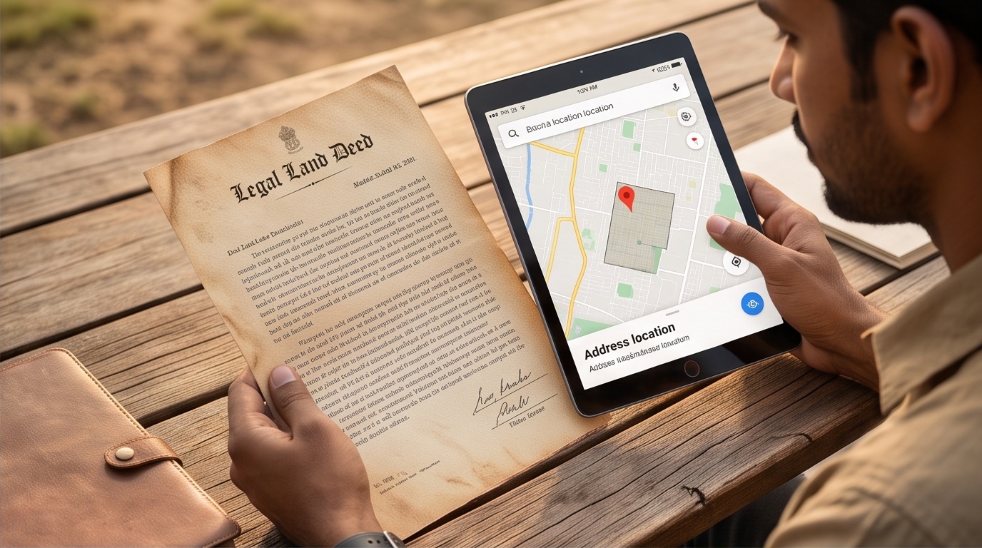
Click the Map: See a Reverse Geocoded Address Instantly
How This Lookup Works
- Click a point on the satellite map to capture its latitude and longitude.
- That single click sends one request to OpenStreetMap's free Nominatim reverse geocoding service, nothing polls or auto-refreshes.
- The result panel below shows the formatted address and the individual address fields Nominatim returned for that point.
📍 What Reverse Geocoding Gives You
- An approximate, human-readable address string, built from whatever OpenStreetMap contributors have mapped near that point.
- Community-edited and frequently updated, so quality depends entirely on how well an area has been mapped.
- Genuinely useful for wayfinding, delivery, and describing a location in everyday language for maps and apps.
- Accuracy and completeness vary a lot by region, rural India in particular can have sparse OSM tagging.
- Tied to the single point you clicked, not to any recorded shape or edge.
⚖️ What a Legal Land Description Actually Requires
- A formal cadastral identity, established through a government land-records survey, not a street lookup.
- A survey number or khasra number: the officially surveyed parcel identifier the revenue department tracks.
- A mauza or village: the administrative revenue unit the parcel sits within.
- A boundary traced and recorded in a state land-records system, such as Bhulekh or Bhu-Naksha.
- Legal standing that traces back to a surveyed, recorded line on the ground, never to a geocoded address.
Reverse Geocoding Solves a Different Problem Than a Land Survey
Reverse geocoding answers a narrow question: what is a human readable name for this point on a map? Click a location and a free API returns whatever street, locality, or postcode volunteers have entered into OpenStreetMap. That is useful for navigation, delivery addresses, or tagging a photo with a place name. It was never built to decide which parcel of land a legal right belongs to, or where that parcel's edges sit.
Why a Pinned Location Is Not a Property Boundary
A legal land description comes from a different chain of authority: a government survey, a khasra or survey number recorded against a named mauza, and a boundary plotted in a state land-records system. Our GIS solutions team links satellite imagery, cadastral records, and field-verified boundaries into layers a landowner or planning authority can rely on. In land acquisition work, a wrong assumption about a boundary line can stall a project for months.
Treating a pinned map location as proof of a property line is a common, avoidable source of land disputes. An address tells you roughly where you are standing. A survey number, tied to a recorded boundary, tells you with legal weight whose land you are standing on, and where it ends.