Drone Survey vs Total Station: Which Is Right for Your Project?
A civil engineer once insisted a 15-acre site needed total station survey for "proper accuracy," then was surprised the drone-based alternative delivered comparable results in a fraction of the time. The instinct to trust the older method is understandable, but it is not always the right call anymore.
Drone survey and total station are not competitors so much as tools built for different jobs. Total station measures points one at a time with extreme precision. Drone survey captures an entire site at once, trading a small amount of per-point precision for massive coverage speed. The right choice depends on what your project actually needs.
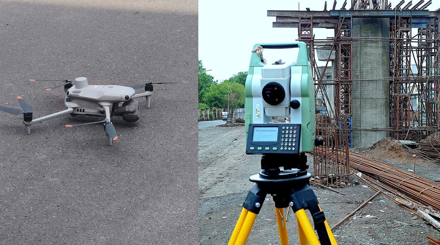
Speed, Accuracy, and Cost Compared
Total Station
- Millimeter accuracy at each measured point
- Requires line-of-sight to every point
- 3 to 5 km/day in plain terrain
- Best for congested, obstructed, or precision-critical sites
Drone Survey
- 1 to 3cm accuracy with proper GCPs
- Captures millions of data points per flight
- Full site coverage in 1-2 flight days for large acreage
- Best for large, open sites and terrain modeling
Head-to-Head on a Typical Project
| Factor | Total Station | Drone Survey |
|---|---|---|
| 50-acre site timeline | 2 to 3 weeks with full crew | 1 to 2 days flying plus processing |
| Data density | Hundreds of manually measured points | Millions of derived data points |
| Obstructed sites | Handles tree cover and structures directly | Struggles under dense canopy or tall obstructions |
| Legal boundary work | Widely accepted for point-precise boundary marks | Needs DGPS ground control to reach comparable trust |
A 2026 comparison study found drone-based digital terrain models closely matched total station results on flat and lightly vegetated ground, with near-zero mean difference, showing the accuracy gap has narrowed significantly with proper ground control.
When Total Station Still Wins
Congested urban plots, sites under dense tree cover, and projects needing point-by-point legal precision still favor total station. Where satellite visibility or drone flight clearance is compromised, no amount of processing sophistication replaces a surveyor physically measuring the point.
When Drone Survey Wins
Large, open sites where coverage speed and terrain data density matter more than per-point precision are where drone survey earns its keep. Our drone survey team frequently pairs drone flights with total station or DGPS ground control to combine the strengths of both, particularly for topographic mapping on mixed-terrain sites.
The best surveyors in 2026 do not choose between drone and total station. They use total station to anchor the drone, and let the drone cover the rest.
Do not assume drone survey alone meets legal boundary precision without DGPS or total station ground control points. The two methods work best together, not as a strict either-or choice.
Not sure which method fits your site?
Tell us your area, terrain, and required accuracy, and we will recommend the right approach.
Frequently Asked Questions
With proper DGPS-surveyed ground control points, drone survey can achieve 1 to 3cm accuracy, approaching total station's millimeter-level precision for many practical purposes.
A drone captures millions of data points across an entire site in a single flight, while total station measures points individually, requiring significantly more field time on large sites.
Not fully. Congested urban plots, dense tree cover, and precision-critical boundary points still typically require total station or DGPS ground control alongside drone data.
Drone survey is typically 50 to 70 percent cheaper than total station on large, open sites due to significantly faster field coverage.
Standard RGB drone survey struggles under dense canopy. LiDAR-equipped drones can penetrate gaps in foliage, though total station remains reliable regardless of vegetation.
Total station or DGPS establishes precise ground control points, and the drone then extends that accuracy across the full site, combining precision with coverage speed.
Generally yes, since small, obstructed, or congested plots often do not benefit from drone speed advantages and need total station's point-by-point precision instead.
Open, flat terrain favors drone survey for speed and coverage, while steep, vegetated, or congested terrain often still requires total station for reliable measurement.
Total station typically captures hundreds of manually measured spot points, while drone survey captures millions of data points, enabling far more detailed terrain modeling.
Often yes. Combining total station or DGPS ground control with drone coverage is increasingly the standard approach for large infrastructure and land development projects.
This line is reserved for project leads. Please do not contact for learning, training, or job inquiries.