Home›Blog›
DGPS RTK Survey Accuracy Explained: What ±2cm Really Means
DGPS
🧮 122 |
1 live
06 Jul 2026Trishunya Team
DGPS RTK Survey Accuracy Explained: What ±2cm Really Means
A contractor once asked us why his DGPS survey showed a boundary pillar 4cm away from where the previous surveyor placed it eight years earlier. The honest answer: both surveys were correct. RTK DGPS accuracy is not a fixed number, it is a range that depends on satellite geometry, baseline length, and how the base station was set up. Understanding that range is the difference between trusting your data and re-surveying a site twice.
2cm
Typical Horizontal RTK Accuracy
3cm
Typical Vertical RTK Accuracy
10 km
Reliable Baseline Range
1 sec
Fix Update Rate
What RTK Actually Corrects
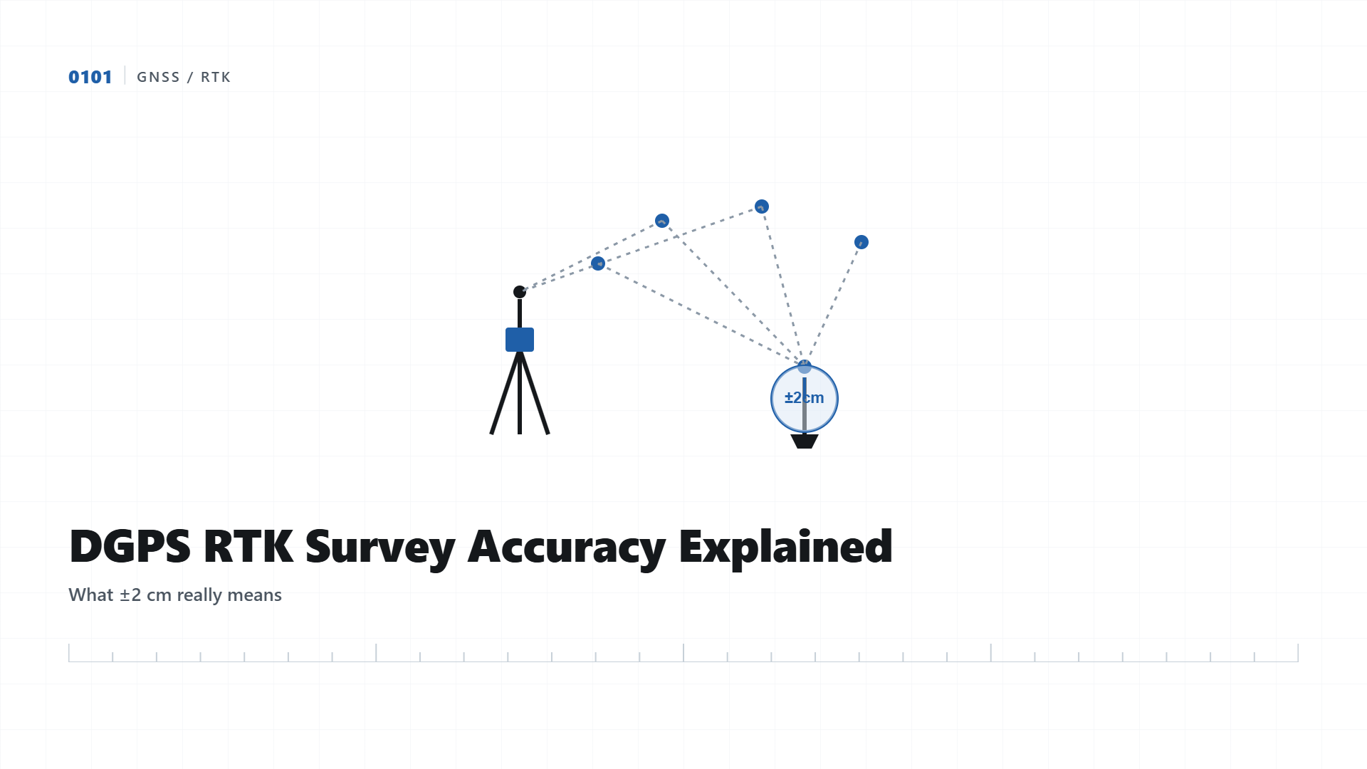
A standalone GPS receiver estimates position from satellite signals alone, and that estimate typically carries 2 to 5 metres of error from atmospheric delay, satellite clock drift, and orbital uncertainty. DGPS RTK survey fixes this by placing a second receiver, the base station, at a known fixed point. The base compares its known position against what the satellites say, calculates the error in real time, and radios that correction to the rover every second. The rover applies the correction and resolves its position to within centimetres instead of metres.
Base station transmitting corrections to a rover unit during a boundary survey.
The Three Factors That Change Your Accuracy
Baseline Distance
Accuracy degrades roughly 1ppm per km beyond 10km from base. Beyond 15-20km, network RTK corrections perform better than a single base.
Sky Obstruction
Trees, buildings, and steep terrain block satellite signals and cause multipath reflections, both of which widen the error window.
Satellite Geometry
Fewer visible satellites or a poor spread across the sky (high PDOP) weakens the fix even with a strong radio link to base.
Fixed vs Float: The Difference That Matters On Site
Every rover reports a solution status, and this is the single most important number a field engineer checks before recording a point.
Solution Type
Accuracy
Usable For
RTK Fixed
±1-2cm
Stakeout, control points, cadastral boundaries
RTK Float
±20-50cm
Reconnaissance only, not for record data
DGPS (no RTK)
±0.5-2m
Rough feature location, not survey-grade
Standalone GPS
±2-5m
Navigation only
⚠
Field rule: never record a point on Float status for a legal boundary or foundation stakeout. Wait for Fixed, or the recorded coordinate can be off by half a metre with no visible warning on a low-detail data logger.
Where RTK Accuracy Actually Comes From: A Quick Comparison
A single receiver set up on a known point radios corrections directly to the rover over UHF or Bluetooth. Simple, no internet needed, best within 10km of the base.
Corrections come from a network of permanent reference stations over mobile internet, giving consistent accuracy over larger areas without setting up your own base every day.
Both base and rover log raw data independently, and corrections are computed afterward in office software. No real-time link needed, useful in radio-dead zones, but you only see accuracy after processing, not live in the field.
Common Mistakes That Quietly Wreck Accuracy
Using yesterday's base coordinates without checking the benchmark
If the base is re-set up on a slightly different spot without re-tying to the same benchmark, every point that day inherits that offset. Always verify against a known control point before starting.
Ignoring antenna height entry
A wrong pole height entry of even 5cm shows up directly in your vertical data. This is the single most common error we find when auditing third-party survey data.
Surveying under dense canopy expecting RTK-grade results
Under heavy tree cover, switch to Total Station traverse from open-sky control points, or accept Float-grade data explicitly labelled as reconnaissance only.
Rover confirming Fixed status before recording a boundary coordinate.
Why This Matters For Your Project
A 5cm error compounds
On a stakeout for column grids or road alignment, a small RTK error at the control stage propagates through every derived point. Centimetre-grade discipline at survey stage saves lakhs in rework at construction stage.
Need DGPS or RTK Survey Done Right?
Trishunya runs dual-frequency DGPS with independent benchmark checks on every project, across India.
Accuracy is not something you assume, it is something you verify against a known benchmark every single time. Whether you are staking out a transmission tower foundation or resolving a decade-old boundary dispute, the difference between a reliable RTK fix and a rushed one shows up years later, usually at the worst possible time. If you need a stakeout or control network for your next project, get your figures checked before you build on them.