Home Blog Digital Twins in Surveying: From Survey Data to Model

Digital Twins in Surveying: From Survey Data to Model

🧮 2  |  🟢 2
13 Feb 2026 Trishunya Team
Digital Twins in Surveying: From Survey Data to Model
GIS · Digital Twin Technology

Digital Twins in Surveying: From Survey Data to Model

📅 13 Feb 2026 ⏱ 3 min read 🏷 Digital Twin TI Trishunya India

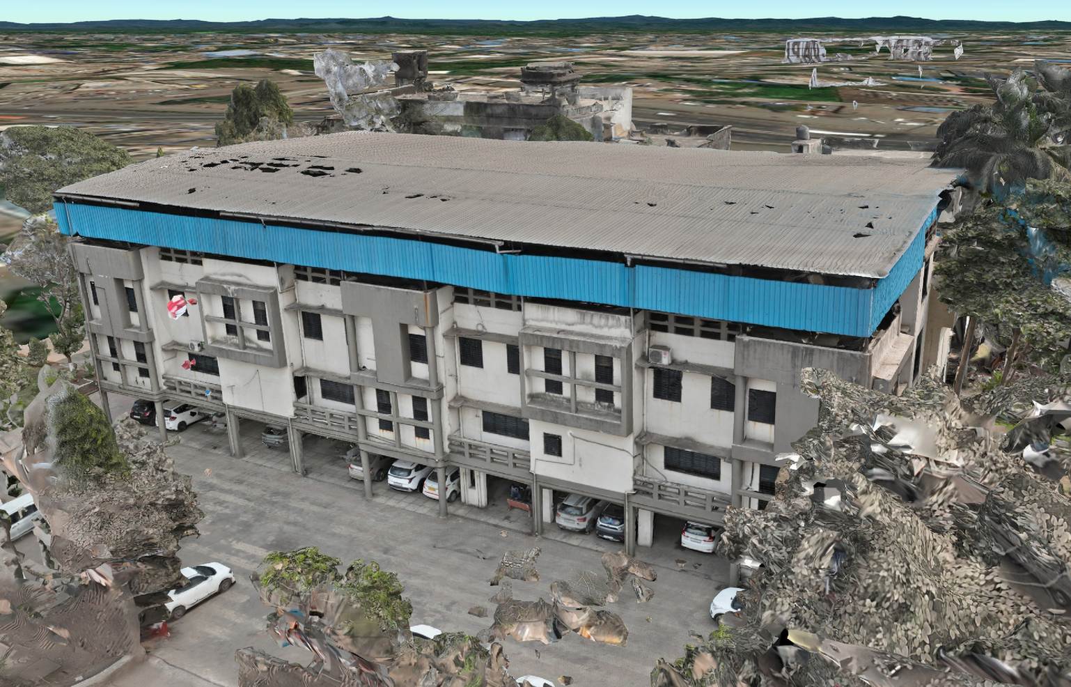
A digital twin is not just a 3D model. It is a living digital representation of a physical asset that gets updated as the real world changes, whether that asset is a building, a road corridor, or an entire industrial site.

Survey data is what makes a digital twin trustworthy. Without accurate, regularly refreshed measurement data feeding into the model, a digital twin quickly becomes a static snapshot rather than a genuine reflection of current reality.

Digital twins in surveying survey data 3D model
Survey data feeds digital twins, keeping virtual models accurate to physical reality.
Living
Not a static one-time model
Survey-Fed
Accuracy depends on real data
Continuous
Updates over asset lifecycle

Watch a Digital Twin Update Live

Live Twin Synchronization

Watch a physical asset representation stay synced with its digital twin as new survey data streams in.
Each new survey pass refreshes the digital model to match current reality.

Add Survey Updates to the Twin

Interactive Twin Update Simulator

Click on the model to simulate adding a fresh survey update point, watching the digital twin refresh in that area.

See How Twin Accuracy Decays

Data Freshness Simulator

Drag the slider to simulate time since the last survey update and see how twin accuracy confidence declines.
3 months since update

How Digital Twins Get Built

1

Baseline survey capture

An initial comprehensive survey using drone, LiDAR, or GIS methods establishes the foundational digital model.

2

3D model construction

Point cloud and image data are processed into a detailed 3D representation matching the physical asset.

3

Attribute data integration

Additional information like asset specifications, maintenance records, or sensor data layers onto the geometric model.

4

Periodic resurvey updates

Scheduled or triggered resurveys capture changes, keeping the digital twin synchronized with physical reality.

5

Change detection and analysis

Comparing successive survey datasets reveals what has physically changed, from construction progress to structural deformation.

The value of a digital twin degrades over time without updates. A model built once and never resurveyed becomes increasingly unreliable as the physical asset changes, eventually providing false confidence rather than useful insight.

A digital twin is only as trustworthy as its last survey update.

Building a Twin Worth Trusting

Regular, accurate survey data is what separates a genuinely useful digital twin from an outdated 3D model. Our GIS mapping team supports digital twin programs with baseline and periodic GIS mapping surveys tailored to your asset monitoring needs.

Building or maintaining a digital twin?

Tell us about your asset and we will outline a survey update strategy.

Frequently Asked Questions

A digital twin is a living digital representation of a physical asset, kept current through regular survey data updates rather than being a static one-time model.

Accurate, regularly refreshed survey data is what keeps a digital twin trustworthy and reflective of current physical reality rather than an outdated snapshot.

Update frequency depends on how quickly the physical asset changes, ranging from continuous sensor feeds to periodic scheduled resurveys.

Drone photogrammetry, LiDAR scanning, and traditional GIS survey methods are commonly used to build and update digital twin models.

Yes, comparing successive survey datasets can reveal structural deformation, settlement, or construction progress not visible from a single snapshot.

Infrastructure management, construction monitoring, industrial facility operations, and land asset management increasingly rely on digital twin technology.

Not exactly, a 3D model is typically a static representation, while a digital twin is continuously updated to reflect changes in the physical asset.

Yes, an outdated twin can provide false confidence in decisions, since it no longer accurately represents the current state of the physical asset.

Yes, digital twins commonly integrate non-geometric data like specifications, maintenance history, and sensor readings alongside the 3D model.

Drone-based photogrammetry and LiDAR provide efficient, repeatable methods for capturing the detailed geometric data digital twins require.

Back to all articles