ভারতে ড্রোন LiDAR সার্ভে খরচ ২০২৬: সম্পূর্ণ বিশ্লেষণ
২০২৬ সালে ভারতে ড্রোন LiDAR সার্ভের মূল্য সাধারণত প্রতি হেক্টরে প্রায় ₹৮,০০০ থেকে ₹২৫,০০০ টাকার মধ্যে থাকে, যা মূলত ভূখণ্ডের জটিলতা, প্রকল্পের আয়তন এবং প্রয়োজনীয় আউটপুটের উপর নির্ভর করে। আসল কারণগুলি না জানা পর্যন্ত এই মূল্যসীমা অনেককেই অবাক করে।
ড্রোন ফটোগ্রামেট্রির বিপরীতে, LiDAR-এ বিশেষ সেন্সর হার্ডওয়্যার, অত্যন্ত নির্ভুল জিপিএস ও আইএমইউ এবং ভারী পয়েন্ট ক্লাউড প্রসেসিংয়ের প্রয়োজন হয়। এগুলির প্রতিটি খরচ বাড়ালেও গাছপালা বা জটিল ভূখণ্ডে ফটোগ্রামেট্রির চেয়ে অনেক বেশি নির্ভুলতা প্রদান করে।
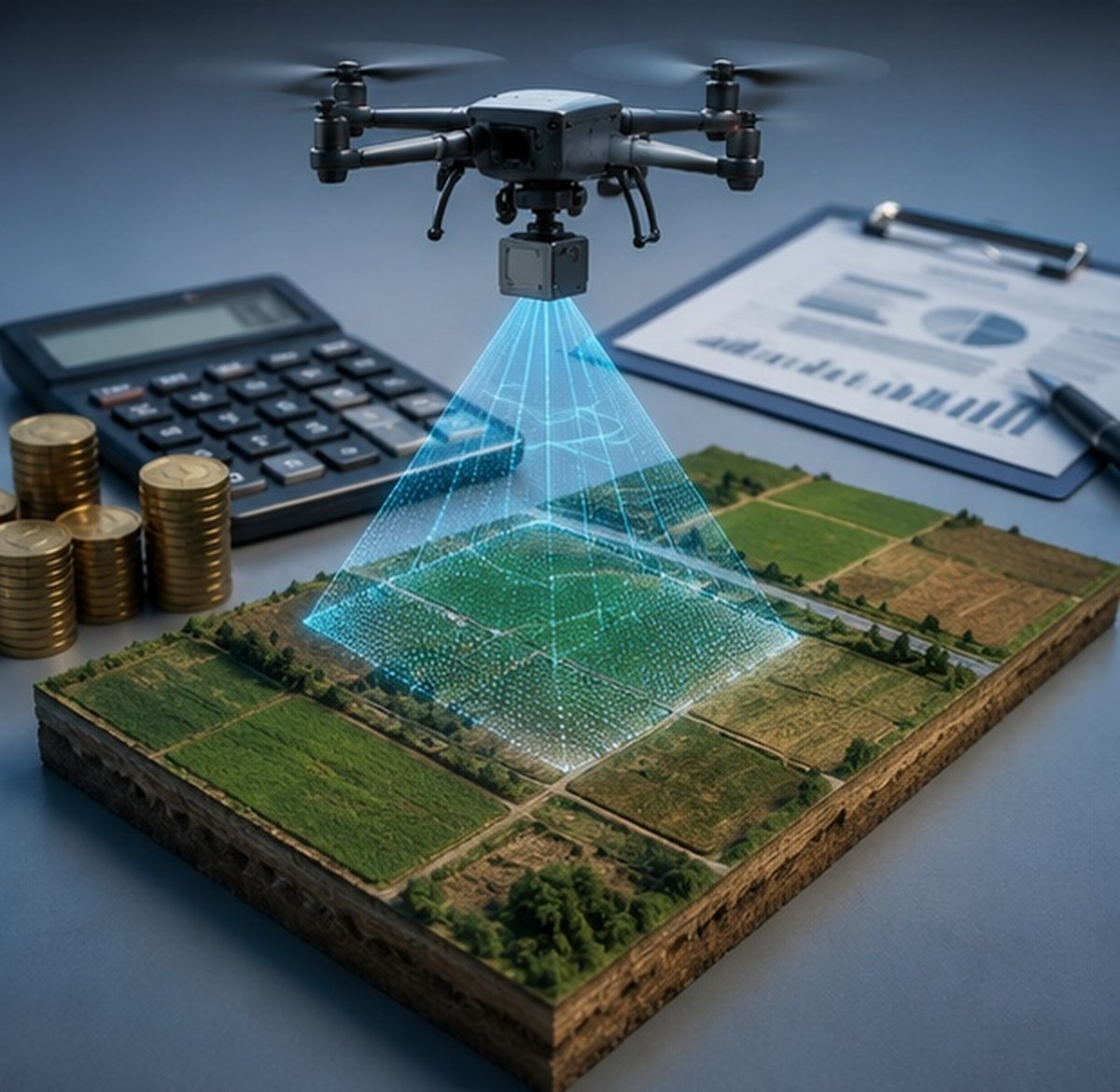
ব্যয় বিভাজনের লাইভ অ্যানিমেশন দেখুন
খরচ কাঠামোর বিশ্লেষণ
আপনার প্রকল্পের ব্যয় অনুমান করুন
ইন্টারঅ্যাক্টিভ LiDAR খরচ ক্যালকুলেটর
LiDAR বনাম ফটোগ্রামেট্রি: ব্যয়ের তুলনা
বাজেট তুলনা দেখতে ক্লিক করুন
মূল্য নির্ধারণকারী ৫টি প্রধান উপাদান
সার্ভের মোট আয়তন
বড় এলাকায় মবিলাইজেশন খরচ বিস্তৃত অঞ্চলে ভাগ হয়ে যাওয়ায় প্রতি হেক্টর দর কমে যায়।
ভূখণ্ড ও উদ্ভিদের জটিলতা
ঘন গাছপালা, খাড়া ঢাল বা শহুরে বাধা ফ্লাইট পরিকল্পনা এবং প্রসেসিংয়ের সময় বাড়িয়ে দেয়।
পয়েন্ট ঘনত্বের প্রয়োজনীয়তা
উচ্চ পয়েন্ট ঘনত্বের জন্য ধীর গতি ও বেশি ফ্লাইট লাইনের প্রয়োজন হয়, যা ব্যয় বৃদ্ধি করে।
আউটপুটের ফরম্যাট
শ্রেণীবদ্ধ পয়েন্ট ক্লাউড, কনট্যুর ম্যাপ এবং ভলিউম রিপোর্ট অতিরিক্ত প্রসেসিং সময় যোগ করে।
সাইটের দুর্গমতা
দূরবর্তী বা দুর্গম স্থানে যাতায়াত ও লজিস্টিক খরচ মূল সার্ভে মূল্যের সাথে যুক্ত হয়।
| প্রকল্পের ধরন | প্রতি হেক্টর সাধারণ মূল্যসীমা |
|---|---|
| উন্মুক্ত সমতল এলাকা, ছোট আয়তন | ₹১২,০০০ - ₹২০,০০০ |
| গাছপালাপূর্ণ ভূখণ্ড, মাঝারি আয়তন | ₹১৫,০০০ - ₹২৫,০০০ |
| বৃহৎ করিডোর বা পরিকাঠামো প্রকল্প | ₹৮,০০০ - ₹১৪,০০০ |
হাইওয়ে করিডোর বা ট্রান্সমিশন লাইনের মতো বৃহৎ লিনিয়ার প্রকল্পে ছোট বিচ্ছিন্ন প্লটের তুলনায় অনেক ভালো প্রতি-হেক্টর দর পাওয়া যায়, কারণ মবিলাইজেশন খরচ দীর্ঘ রুটে বিন্যস্ত হয়।
LiDAR-এর আসল খরচ কখনই শুধু উড়ানের নয়। এটি নির্ভর করে ভূখণ্ডের রূপরেখা প্রসেসিং থেকে কতটা দাবি করে।
সঠিক কোটেশন যেভাবে পাবেন
প্রতিটি LiDAR প্রকল্প অনন্য, এবং একটি নির্ভরযোগ্য মূল্য পাওয়ার দ্রুততম উপায় হল আপনার সাইটের সীমানা ও ভূখণ্ডের ধরন শেয়ার করা। আমাদের ড্রোন সার্ভে দল আপনার প্রয়োজনীয়তা খতিয়ে দেখে আপনার LiDAR স্ক্যান কোটেশনের বিবরণ স্পষ্ট করে দেবে।
আপনার প্রকল্পের জন্য নির্দিষ্ট কোটেশন চান?
আপনার এলাকা ও ভূখণ্ডের বিবরণ জানান, আমরা আনুমানিক রেঞ্জের বদলে সঠিক কোটেশন পাঠাব।
সাধারণ জিজ্ঞাসা
এলাকার আকার, জটিলতা এবং প্রয়োজনীয় ফলাফলের ভিত্তিতে খরচ প্রতি হেক্টরে ₹৮,০০০ থেকে ₹২৫,০০০ পর্যন্ত হয়।
LiDAR-এ লেজার সেন্সর, আইএমইউ এবং জটিল পয়েন্ট ক্লাউড প্রসেসিংয়ের প্রয়োজন হয় যা খরচ বাড়ায়।
হ্যাঁ, বড় প্রকল্পে সেটআপ খরচ বিস্তৃত এলাকায় ভাগ হওয়ায় প্রতি হেক্টর দর উল্লেখযোগ্যভাবে কমে।
স্ট্যান্ডার্ড আউটপুটে ক্লাসিফায়েড পয়েন্ট ক্লাউড এবং ডিজিটাল টেরেন মডেল (DTM) অন্তর্ভুক্ত থাকে।
হ্যাঁ, ঘন বনে মাটির সঠিক তথ্য পেতে অতিরিক্ত লেজার পালস ও দীর্ঘ প্রসেসিং প্রয়োজন হয়, যা ব্যয় বাড়ায়।
সাধারণ ক্ষেত্রে এটি হেক্টর দরেই ধরা থাকে, তবে প্রত্যন্ত এলাকায় অতিরিক্ত লজিস্টিক চার্জ যুক্ত হতে পারে।
বেশি ঘনত্বের জন্য ড্রোনকে ধীরে ও অতিরিক্ত চক্কর দিতে হয়, যার ফলে ফ্লাইটের সময় ও খরচ বাড়ে।
সাইটের KML ফাইল ও প্রাথমিক বিবরণ দিয়ে নির্ভরযোগ্য খসড়া কোটেশন দেওয়া সম্ভব।
গাছপালায় ঢাকা ভূখণ্ড বা চরম নির্ভুলতার ইঞ্জিনিয়ারিং কাজে LiDAR-এর মান অতিরিক্ত খরচকে পুরোপুরি সার্থক করে।
বড় প্রকল্পে এটি বেশি সাশ্রয়ী হলেও জটিল ছোট জমিতেও নির্ভুলতার স্বার্থে LiDAR অপরিহার্য হতে পারে।
এই লাইনটি শুধুমাত্র প্রকল্পের অনুসন্ধানের জন্য সংরক্ষিত। প্রশিক্ষণ বা চাকরির জন্য যোগাযোগ করবেন না।