How Drone Survey is Transforming Power Transmission Line Projects in India
Power transmission line projects in India span hundreds — sometimes thousands — of kilometers across forests, hills, rivers, and remote terrain. Traditional ground surveying methods for these corridors were slow, expensive, and often dangerous. Drone surveys have fundamentally changed this, delivering high-accuracy spatial data in a fraction of the time.
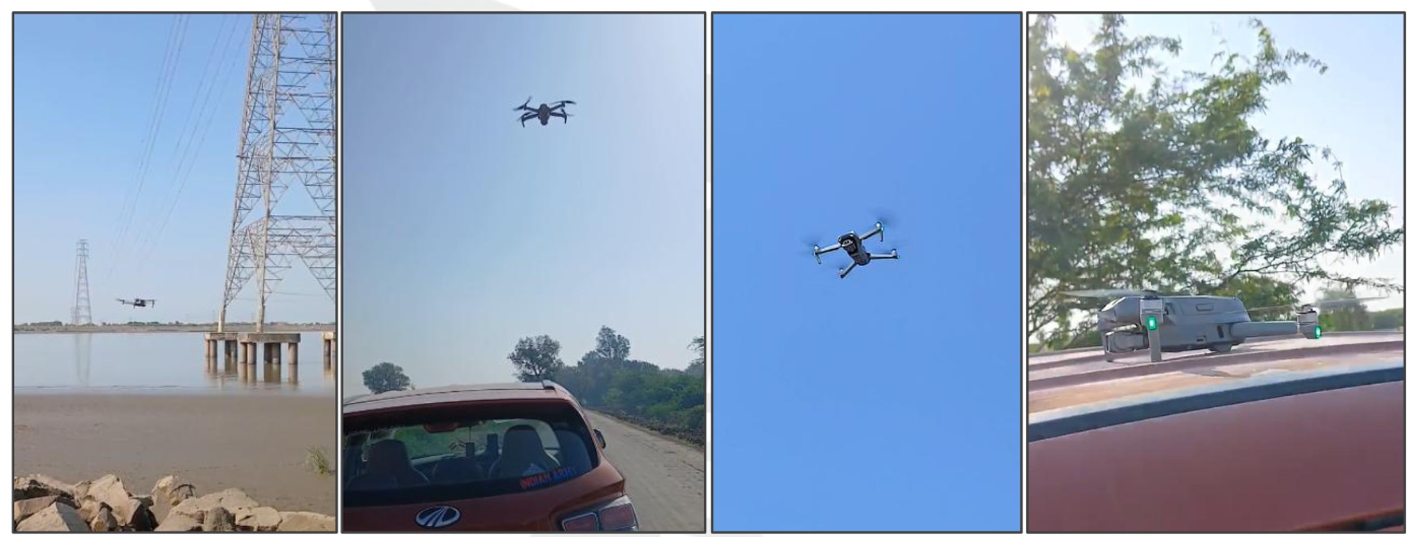
Drone Survey for Transmission Line Project
The Problem with Traditional Corridor Surveys
Before drone technology became widespread, a typical 100 km transmission line corridor survey required weeks of ground-based topographic work. Survey crews had to physically access every point along the alignment — cutting through dense vegetation, crossing streams, and working in extreme weather. This approach carried three major problems:
- Time: A 100 km corridor could take 3–4 weeks of field work with a large team.
- Cost: Large manpower requirements and difficult access logistics drove costs up significantly.
- Safety: Working near energized lines or in remote terrain posed serious risks to field crews.
The accuracy of traditional surveys also varied — human error, equipment limitations, and difficult sighting conditions in dense vegetation meant that data quality was inconsistent across long corridors.
What Drone Survey Delivers for Transmission Lines
A modern drone survey for a power transmission line corridor produces a complete set of spatial deliverables in one pass. Here is what a drone survey captures and what it produces:
| Deliverable | What It Shows | Used For |
|---|---|---|
| Telemetry Video | HD aerial video of entire corridor with GPS chainage overlay | Route reconnaissance, client reporting |
| Orthomosaic | Geometrically corrected aerial base map at 3–5 cm/pixel | Route planning, land use analysis |
| DEM / DTM | Digital elevation and bare-earth terrain models | Sag calculations, tower spotting, earthwork |
| Topography Drawing | Contours, features, structures along corridor | Engineering design, ROW estimation |
| Tree Enumeration | Geotagged count of trees within ROW | Forest clearance documentation |
| Feature Geo Tagging | GPS coordinates of obstacles, crossings, structures | Clearance planning, design input |
Coverage Speed: How Fast Can a Drone Survey Cover a Corridor?
This is where the difference becomes most dramatic. A single drone with a standard RGB camera can cover approximately 3–5 km of corridor width per flight (capturing a 200–500m wide strip centered on the alignment). In practical field conditions, a well-organised drone survey team can cover 15–25 km of corridor per day — including flight time, battery swaps, and ground control point (GCP) marking.
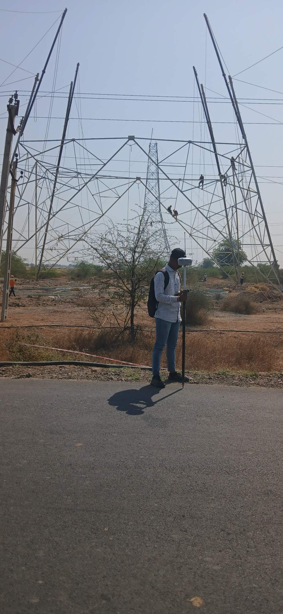
DGPS GCP Survey for Transmission Line Project
For a 200 km transmission line, this translates to approximately 8–12 field days of data acquisition. Compare this to 6–8 weeks for a traditional ground survey team covering the same distance.
Accuracy: Is Drone Data Good Enough for Engineering?
This is a common question from clients. The short answer is yes — when done properly. Drone photogrammetry with well-distributed GCPs (established by DGPS/RTK) achieves:
- Horizontal accuracy: ±3–5 cm RMS
- Vertical accuracy: ±5–8 cm RMS
- Point cloud density: 50–200 points/m² (sufficient for tower foundation design and sag calculations)
This accuracy meets the requirements of most transmission line engineering standards in India including those of PGCIL, state DISCOMs, and EPC contractors.
For projects requiring sub-centimeter accuracy at specific tower locations — such as foundation stakeout or precise structure alignment — DGPS/Total Station is used at those points in combination with the drone survey. The drone provides the corridor picture; DGPS provides the pin-point precision where needed.
Tree Enumeration: A Critical Deliverable for Forest Clearances
One of the most valuable outputs of a drone survey for transmission line projects is automated tree enumeration. Forest clearance approvals require an accurate count and geotagging of every tree within the ROW (Right of Way) corridor — typically 52m wide for a 400kV line.
Using photogrammetric point clouds and orthomosaics, individual trees can be detected, counted, and GPS-tagged across hundreds of kilometers. This data, delivered as a geotagged spreadsheet with tree species, girth class, and coordinates, directly feeds the forest department clearance application — saving weeks of manual field counting.
How Trishunya Executes Transmission Line Drone Surveys
Our standard workflow for a transmission line corridor drone survey:
- Pre-flight planning: Flight path design, GCP placement plan, DGCA permissions for restricted areas.
- GCP establishment: DGPS/RTK team establishes ground control points at 3–5 km intervals along the corridor.
- Drone data acquisition: Multi-drone or sequential flights covering the full corridor at 80–90% overlap.
- Data processing: Photogrammetric processing in Agisoft Metashape / Pix4D to generate DEM, DTM, Orthomosaic, and point cloud.
- CAD deliverables: AutoCAD DWG topography drawing, L/S sheets, tree enumeration database, feature KMZ file.
- QC and delivery: Accuracy verification against GCPs, final report with survey metadata.
Typical project timeline from mobilization to final deliverables: 15–25 days for a 100–200 km corridor, depending on terrain complexity and weather.
Conclusion
Drone surveys have made transmission line corridor mapping faster, safer, and more accurate than was possible with traditional methods. For EPC contractors, developers, and power utilities working on transmission projects across India, drone-based data is no longer an experimental technology — it is the standard approach for large-scale corridor surveys.
If you are planning a transmission line project and need a corridor survey, contact Trishunya via WhatsApp for a same-day quotation.
Back to all articles