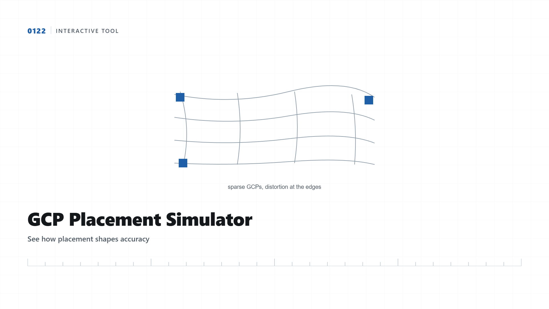
GCP Placement Simulator
Click to place ground control points on the sample site. Watch the accuracy heatmap change based on where you put them.
The theory of GCP placement is easy to state, spread your points around the site perimeter, not just the center. This tool lets you test that theory directly: place points anywhere on a simulated site boundary and see a heatmap showing where the resulting map would be most and least reliable.
Reading the Heatmap
Green areas sit close to at least two or three GCPs and would be well-constrained in a real photogrammetry solve. Red and orange areas sit far from any control point, meaning the model has to extrapolate positioning there with much less confidence. In real projects, this is exactly why survey planners specifically walk the site perimeter and corners when placing targets rather than only covering wherever access happens to be easiest.
| Placement Pattern | Center Accuracy | Edge/Corner Accuracy |
|---|---|---|
| Clustered in center | Excellent | Poor, can drift significantly |
| Spread to perimeter + a few interior | Good | Good, uniformly constrained |
| Only along one edge | Fair | Poor on the opposite edge |
Why This Applies Directly to Real Survey Planning
On an actual drone survey, this exact consideration determines where our field team physically walks to place targets before the flight even happens. For elongated sites like pipeline or road corridors, this translates to placing GCPs at regular intervals along the entire length, not just at the two ends.
GCP target placed at a site corner, exactly the position this simulator rewards with a green accuracy zone.
Planning a Drone Survey and Want It Done Right?
We plan GCP placement based on your specific site shape before the flight, not after.
Get Quote on WhatsApp