Home›Blog›
How Much Does a Drone Survey Cost in India?
Drone Survey
🧮 88 |
1 live
28 Jun 2025Trishunya Team
How Much Does a Drone Survey Cost in India?
This is the first question every project manager asks, and it is also the hardest to answer without knowing more about the project. A drone survey of a flat 5 km² solar site in Gujarat costs very differently from a 200 km transmission line corridor through forested terrain in Rajasthan. The price is not set arbitrarily — it is driven by specific technical factors. Here is exactly what affects the cost and what you can expect.
4 factors
That drive 80% of the cost
1 day
To get a quotation
48 hrs
Typical mobilization time
5 days
Typical delivery after fieldwork
The 4 Factors That Drive Drone Survey Cost
1. Area Coverage
Larger area means more flight time, more batteries, more data to process, and often more days on site. This is the single biggest cost driver. A 2 km² site and a 50 km² site are completely different in scope.
2. Terrain Difficulty
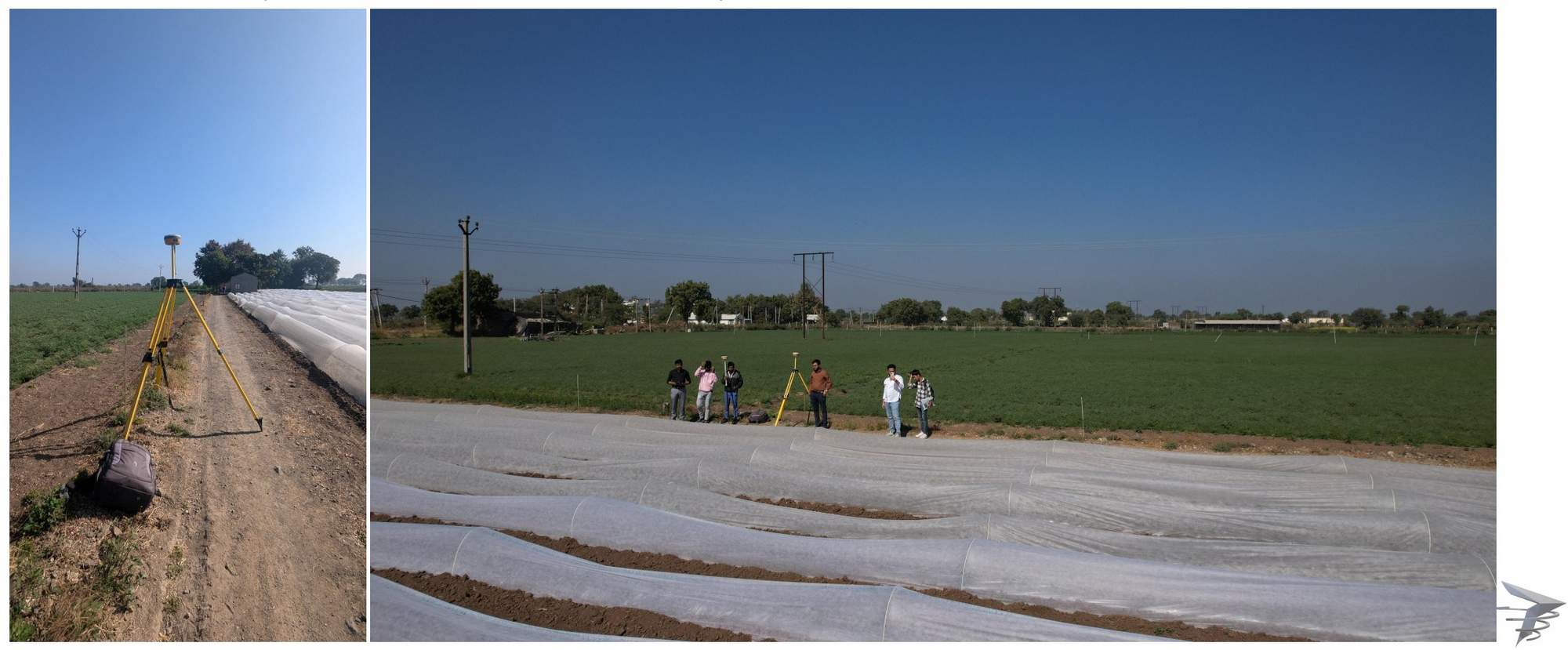
Flat open farmland is easy. Dense scrub, hilly terrain, active construction zones, or proximity to restricted airspace all add complexity, time, and cost. Terrain that needs GCP placement by foot through difficult terrain increases field days significantly.
3. Deliverables Required
An orthomosaic and basic DEM are standard and included in most base quotes. Adding LiDAR point cloud, topographic DWG drawings, contour extraction, or custom GIS layers each adds processing and drafting time to the scope.
4. Accuracy Requirements
Visual-grade accuracy (no GCPs, ±1-2m) is cheapest. Engineering-grade accuracy with GCPs and DGPS ground control adds field time and equipment cost. Sub-centimeter stakeout combined with drone survey is the most expensive combination.
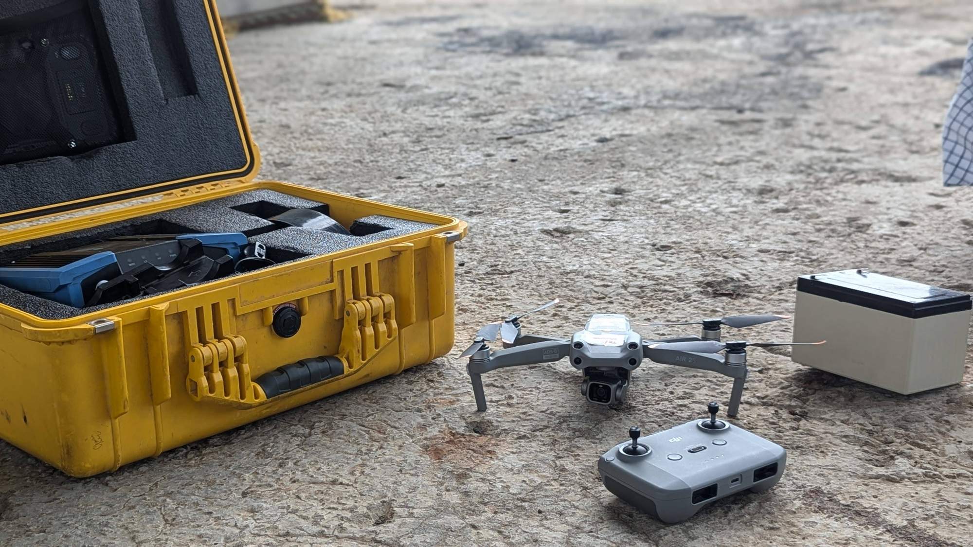
Mobilization for a drone survey. Team size, equipment, and travel distance all factor into project cost.
What Increases Cost vs What Saves Cost
What increases cost
Forested or inaccessible terrain
Multiple sensor payloads (RGB + LiDAR + thermal)
Restricted airspace requiring DGCA permissions
Very large areas requiring multiple mobilizations
Urgent delivery timelines
What reduces cost
Open flat terrain with clear access
Single sensor payload
Multiple projects in same location
Standard deliverables only
Flexible delivery timeline
How to Get an Accurate Quote
What information to share with us
Project location (district and state), approximate area in km² or km of corridor, terrain type (flat/hilly/forested), required deliverables (orthomosaic / DEM / topography drawing / LiDAR), accuracy requirement, and expected delivery date. That information is all we need to give you a detailed quotation the same day.
We do not have a fixed per-hectare price list because no two projects are identical. What we do have is a commitment to give you a detailed, itemised quotation within hours of receiving your project brief. No vague estimates, no hidden charges. Send us your brief on WhatsApp and we will respond with numbers the same day.
You can also learn more about our drone survey services to understand the full scope of what is included before you reach out.