How to Plan a GIS Field Survey the Right Way
The single biggest mistake in GIS field surveying happens before anyone leaves the office: skipping proper planning. A poorly planned survey means field crews collecting the wrong attributes, missing critical features, or generating data that does not fit the intended GIS schema.
Good planning turns a chaotic field day into a smooth, predictable process. It defines exactly what gets collected, how, and in what format, before a single point is captured on the ground.
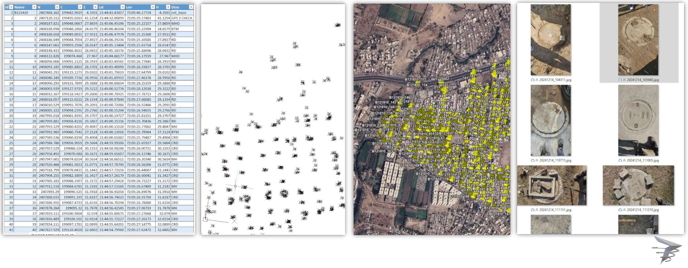
Watch a Survey Plan Come Together
Live Planning Checklist Animation
Build Your Own Planning Checklist
Interactive Planning Checklist
See Team Size vs Survey Time
Field Time Estimator
The Core Planning Steps
Define the survey objective
Clarify exactly what question the survey needs to answer before deciding what data to collect.
Design the data schema
Specify feature types, attributes, and required fields so field data fits your GIS system without rework.
Scope the survey area
Define exact boundaries and access routes, accounting for terrain and permission requirements.
Select equipment and app
Choose GNSS accuracy level and data collection app based on the precision the project actually requires.
Brief and train the field team
Ensure every field surveyor understands the schema, workflow, and quality standards before deployment.
A well-designed data schema saves far more time in the office than it costs in planning. Retrofitting inconsistent field data into a proper structure after collection is almost always slower than getting the schema right upfront.
The survey happens in the field. The success happens in the planning.
Getting Your Survey Right From the Start
Careful upfront planning is what separates efficient field surveys from ones that require costly rework. Our GIS mapping team designs data schemas and field workflows before every GIS mapping project begins.
Planning a GIS field survey project?
Tell us your objective and we will help scope the right approach.
Frequently Asked Questions
Proper planning defines what data gets collected and how, preventing wasted fieldwork and costly rework of inconsistent or incomplete data.
A data schema defines the feature types, attributes, and required fields for collected data, ensuring it fits properly into the GIS system.
Accuracy requirements depend on the survey purpose, with legal boundary work needing higher precision than general asset inventory mapping.
Field teams should understand the data schema, collection workflow, quality standards, and any site-specific access or safety considerations.
Planning time varies with project complexity, but investing adequate time upfront typically saves significantly more time during and after fieldwork.
Minor adjustments are common, but major schema changes mid-survey can create data consistency problems that are best avoided through thorough upfront planning.
Scoping defines the exact boundaries and access routes for the survey, accounting for terrain challenges and any required permissions.
Yes, larger teams require more coordination in the planning phase to ensure consistent data collection standards across all surveyors.
The intended GIS platform should inform schema design early in planning, since data structure requirements can vary between systems.
Mismatched data typically requires manual cleanup and reformatting, which is time-consuming and best avoided through clear upfront planning and training.
This line is reserved for project leads. Please do not contact for learning, training, or job inquiries.