Land Surveyor Government Jobs in India: Every Exam Worth Tracking
Eighteen recruitment routes, three tiers, one skill set. Here is how the land surveyor government jobs in India actually work, who they hire, and what the exams test.
A single Maharashtra notification in 2025 put 903 surveyor and clerk posts on the table in the Bhumi Abhilekh department. Two years before that, Bihar's Directorate of Land Records and Survey advertised a combined block of more than 10,000 positions across Amin, Kanoongo, Assistant Settlement Officer and Clerk cadres. Those two numbers tell you something most career counsellors miss: land surveyor government jobs in India are not a niche. They are one of the largest steady technical hiring streams in the country, and almost nobody prepares for them properly.
Part of the reason is naming. The same job is called Bhoomapaka in Karnataka, Bhumapak in Maharashtra, Sub-Surveyor in West Bengal, Field Surveyor in Tamil Nadu, and Amin in Bihar, Odisha, Jharkhand and Uttar Pradesh. A candidate searching for "surveyor vacancy" will never see half of them. So let us fix the map first.
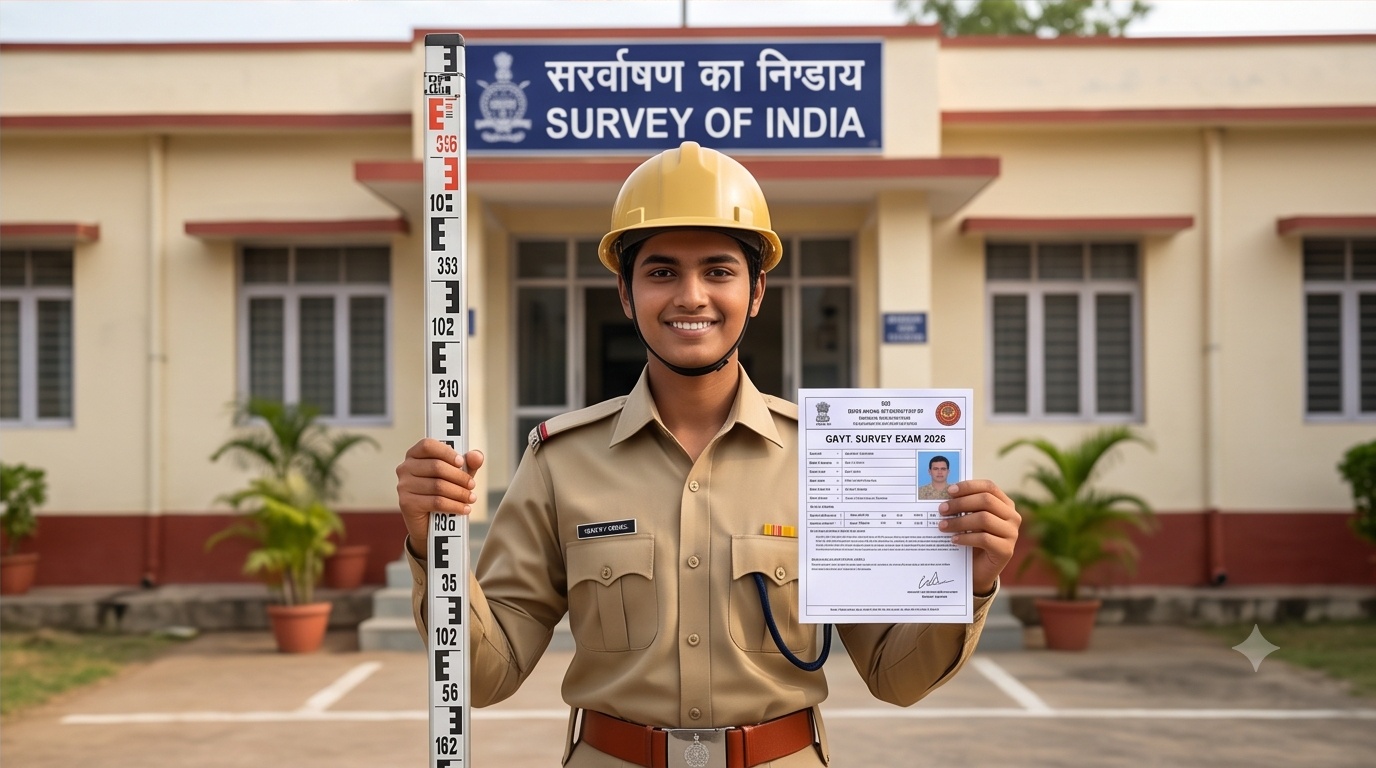
What a government land surveyor actually does
Strip away the job titles and the work is consistent. You measure land, you demarcate boundaries, you resolve where one khasra or survey number ends and the next begins, and you push that result into the official record. Survey settlement, mutation entries, revenue map updates, partition cases, encroachment reports: all of it flows from field measurement that someone can defend in a revenue court.
That last part matters more than the instrument you carry. A private site engineer who misreads a point loses a day. A government surveyor who misreads a boundary creates a legal dispute that outlives their posting. This is why these exams weigh survey fundamentals, revenue terminology and local land law far more heavily than candidates expect.
The instrument gives you a number. The record gives that number legal standing. A land surveyor in a revenue department is paid to connect the two without a gap.
The three tiers of land surveyor government jobs in India
Once you group the vacancies by what the person actually does on site, eighteen scattered recruitment names collapse into three clean tiers. Switch between them below.
These carry the word "surveyor" in the post name and sit inside a Survey and Land Records or Bhumi Abhilekh directorate. Entry level, technically graded, and the most direct route in.
- 1KEA Karnataka Land Surveyor (Bhoomapaka)Karnataka Examinations Authority, Group C, offline OMR, Paper I general knowledge plus Paper II subject specific, with a qualifying Kannada language test.
- 2Maharashtra Bhumi Abhilekh SurveyorSingle online CBT. Diploma in Civil Engineering or a two year ITI Surveyor certificate after SSC, plus a Marathi and English typing certificate and Maharashtra domicile.
- 3TNPSC Field SurveyorRecruited under the Group 4 umbrella for the Survey and Settlement Department. Diploma in Civil, NCVT Surveyor trade certificate, or Army Trade Surveyor certificate.
- 4WBPSC Sub-SurveyorDirectorate of Land Records and Surveys, West Bengal. Diploma or degree in civil engineering or surveying, written test followed by interview.
- 5Kerala PSC Surveyor Grade II and TracerSurvey and Land Records department, recruited through standing KPSC category numbers rather than an annual cycle.
- 6Telangana Land Surveyor / SurveyorRevenue and survey settlement wing recruitment, notified periodically.
- 7Other state Survey and Land Records surveyor postsAssam, Gujarat, Rajasthan, Madhya Pradesh and others notify under their own directorates and boards.
Same field work, older vocabulary. "Amin" is the traditional revenue term for the person who measures and demarcates. In the Hindi belt and the east, this is where the volume hiring happens.
- 8Bihar Special Survey AminDLRS Bihar, recruited through BCECEB. Three year Diploma in Civil Engineering from an AICTE approved, SBTE registered institute is the standard route.
- 9Bihar Special Survey KanoongoOne step above Amin in the same special survey structure, with supervision of Amin teams and record scrutiny.
- 10Odisha AminRevenue and Disaster Management department, settlement and consolidation work.
- 11Jharkhand AminRecruited through district level and state level notifications for revenue survey work.
- 12Uttar Pradesh Revenue AminRevenue Board recruitment, chakbandi and record correction duties.
- 13Other state Amin and Survey Amin postsChhattisgarh, Uttarakhand and others run comparable cadres under different notification names.
Promotion targets, and in several states directly recruited too. If you already hold a diploma plus field experience, do not ignore these: competition per post is lower than Tier A.
- 14Survey KanoongoChecks the Amin's measurements, signs off on field books and settles first level boundary objections.
- 15Revenue SurveyorAnchors survey work to the revenue record, handles mutation and partition measurement.
- 16Settlement SurveyorAttached to settlement operations where an entire village record is re-surveyed and re-issued.
- 17Head Surveyor / Senior SurveyorTeam lead over a survey party, responsible for output quality and instrument discipline.
- 18Assistant Settlement OfficerAdministrative and quasi-judicial layer of the settlement machinery. Bihar recruits this alongside Amin and Kanoongo in the same DLRS block.
Eligibility and exam pattern across land surveyor government jobs in India
Qualification requirements cluster tightly. A three year Diploma in Civil Engineering opens almost every door in this list. An ITI Surveyor trade certificate opens most of Tier A and Tier B. A civil engineering degree works everywhere but is rarely required. Karnataka is the notable outlier: it also accepts degrees in mathematics, physics, computer science, IT, instrumentation, electronics and communication, or agriculture.
| Exam / post | Recruiting body | Typical qualification | Mode |
|---|---|---|---|
| Land Surveyor (Bhoomapaka) | Karnataka Examinations Authority | Diploma or degree in engineering, or degree in maths, physics, CS, IT, electronics, agriculture | Offline OMR, Paper I and Paper II |
| Bhumi Abhilekh Surveyor | Maharashtra Settlement Commissioner and Director of Land Records | Diploma in Civil Engineering or two year ITI Surveyor certificate after SSC, plus typing certificate | Single online CBT |
| Field Surveyor | TNPSC (Group 4 stream) | Diploma in Civil, NCVT Surveyor NTC, or Army Trade Surveyor certificate | Objective written examination |
| Sub-Surveyor | WBPSC | Diploma or degree in civil engineering or surveying | Written test and interview |
| Surveyor Grade II / Tracer | Kerala PSC | Survey and land records qualification as per category notification | Objective written examination |
| Special Survey Amin / Kanoongo | BCECEB for DLRS Bihar | Three year Diploma in Civil Engineering, AICTE approved and SBTE registered | Objective written examination |
Always confirm against the notification PDF. Qualification wording, age bands and paper structure are revised between cycles. Nothing in this table replaces the official advertisement for the year you are applying in.
Age limits
The common band across states runs from 18 years at the lower end to somewhere between 32 and 38 at the upper end, before relaxation. Bihar's DLRS posts have used an upper limit of 37. Maharashtra's Bhumi Abhilekh recruitment has used 38. Tamil Nadu's Field Surveyor route sets 32 for unreserved candidates but raises it to 37 for those trained in survey through an ITI in Tamil Nadu, which is a useful detail if you took that route deliberately.
Check where you stand
Rather than reading eighteen notifications to find out you were never eligible, use the quick check below. It maps your qualification, age and state against the tiers described above and tells you which routes are realistically open.
Surveyor exam eligibility quick check
Indicative only. Verify against the live notification before you pay an application fee.
A 24 year old with a three year Diploma in Civil Engineering applying in Maharashtra is inside the standard age band and meets the core technical qualification. Tier A direct surveyor posts and Tier B Amin cadre posts are both open. Maharashtra additionally requires a Marathi and English typing certificate, so arrange that before the window closes.
What the papers actually test
Two papers is the common shape. One general paper covering general knowledge, state history and geography, current affairs, reasoning and basic arithmetic. One subject paper covering surveying itself. Karnataka runs both offline on OMR with four options per question and one mark per question. Maharashtra compresses it into a single CBT. West Bengal adds an interview after the written stage.
For the subject paper, the recurring ground is: chain and tape survey, compass and traverse work, plane table survey, levelling and contouring, theodolite work, computation of areas and volumes, cadastral survey methods, revenue record terminology, and increasingly total station and GNSS basics. Candidates who come from a construction background often lose marks on the revenue side, not the technical side. Learn what a tippan, field book, khasra, khatauni and survey number mean in your state before you touch a mock test.
The section people skip and then fail
State specific land law and record terminology. It is unglamorous, it is not on YouTube, and it decides ranks. Download two or three previous papers of the exact exam you are targeting and count how many marks sit in that block. It is usually more than you assumed.
The skill that is quietly changing these jobs
Cadastral departments are no longer working only with chains and plane tables. Digitised record of rights, geo-referenced village maps, drone based resurvey pilots and GNSS corrected control points are now part of routine departmental work. States have run large scale re-survey programmes where aerial imagery and ground control together replace decades old paper maps.
What that means for a candidate is simple. If you can read an orthomosaic, understand what a DGPS base and rover pair is doing, and know why a control point network matters before you start collecting boundary points, you are more useful on day one than the person who only memorised the syllabus. Our team runs exactly this workflow on drone survey and DGPS and RTK survey projects, and the overlap with land acquisition mapping is almost total: same boundary logic, same tolerance discipline, same requirement that the output survives scrutiny later.
The departments know this too, which is why Karnataka opened its qualification net to computer science, IT and electronics graduates. The record is becoming a database. Somebody has to keep it accurate.
Preparing while you work
Field experience on cadastral, corridor and acquisition projects builds the exact instincts these papers test: boundary reconciliation, tolerance judgement, and reading an old map against fresh ground truth. Time spent on real survey work is not time lost from preparation.
A preparation checklist that fits on one page
- Pick two states, not ten. Language tests, domicile rules and typing certificates make a scattergun approach expensive and slow.
- Fix the qualification gap first. If you have only 12th pass, the ITI Surveyor trade certificate is the shortest legitimate bridge into Tier A and Tier B.
- Collect three previous papers of your target exam and build the syllabus backwards from what is actually asked.
- Master the revenue vocabulary of your state before general studies. It is the highest marks per hour block in the paper.
- Practise computation under time pressure. Area, volume, bearing correction and level book reduction should be automatic, not derived.
- Arrange the supporting documents early: domicile, caste or category certificate, typing certificate where required, and the diploma or NTC in original.
- Track notifications at source. KEA, MahaBhumi Abhilekh, TNPSC, WBPSC, Kerala PSC and BCECEB publish first on their own portals; aggregator sites lag by days.
- Learn one modern instrument workflow. Total station or GNSS rover. It helps in the interview stage and it helps far more after you are selected.
Frequently asked questions
Which qualification opens the most land surveyor government jobs in India?
A three year Diploma in Civil Engineering from an AICTE approved institute is the single most widely accepted qualification. It satisfies the Karnataka Bhoomapaka route, Maharashtra Bhumi Abhilekh surveyor posts, TNPSC Field Surveyor, WBPSC Sub-Surveyor and the Bihar DLRS Amin and Kanoongo cadres. An ITI Surveyor trade certificate covers a smaller but still substantial set, and a civil engineering degree is accepted everywhere though rarely mandatory.
Can I become a government surveyor with only an ITI Surveyor certificate?
Yes, in several states. Maharashtra accepts a two year Surveyor certificate from a recognised ITI taken after the Secondary School Examination. Tamil Nadu accepts a National Trade Certificate in the Surveyor trade awarded by NCVT for the Field Surveyor post, and gives ITI survey trained Tamil Nadu candidates a higher upper age limit of 37 years instead of 32. Check each notification, since some states require the diploma instead.
What is the difference between an Amin and a Surveyor in government service?
Functionally very little at the field level. Amin is the traditional revenue administration term used in Bihar, Odisha, Jharkhand and Uttar Pradesh for the official who measures land, demarcates boundaries and reports on encroachment or partition. Surveyor is the term used by Survey and Land Records or Bhumi Abhilekh directorates in Karnataka, Maharashtra, Tamil Nadu, West Bengal and Kerala. Both do cadastral measurement and both feed the same land record system.
What is the exam pattern for state land surveyor recruitment?
Most states use an objective written examination. Karnataka runs two offline OMR papers, Paper I on general knowledge and Paper II on subject specific topics, with four options and one mark per question, followed by document verification and a qualifying Kannada language test. Maharashtra uses a single online computer based test. West Bengal follows the written test with an interview. Subject content typically covers chain and compass survey, plane tabling, levelling and contouring, theodolite work, area and volume computation, cadastral methods and state land record terminology.
What is the age limit for land surveyor and Amin posts?
The minimum is 18 years almost everywhere. Upper limits vary by state and category: Bihar DLRS posts have used 37 years, Maharashtra Bhumi Abhilekh has used 38 years, West Bengal Sub-Surveyor has been advertised with an 18 to 36 band, and TNPSC Field Surveyor uses 32 for unreserved candidates with an extension to 37 for candidates trained in survey through a Tamil Nadu ITI. Category relaxations apply on top, and persons with disabilities receive additional relaxation as per state rules.
Do modern surveying skills like drone and DGPS help in these government exams?
They help less in the written paper and considerably more everywhere after it. State departments are digitising records of rights, geo-referencing village maps and running drone based resurvey programmes, so working knowledge of GNSS control, DGPS and RTK corrections, orthomosaics and GIS attribute handling makes a selected candidate immediately more useful. Karnataka's decision to accept computer science, IT and electronics graduates for surveyor posts points the same direction: the land record is turning into a spatial database.
Where to start this week
Open the official portals of the two states you can realistically apply in, find the last notification for the surveyor or Amin post, and read the qualification clause word for word. If you already qualify, start on previous papers today rather than waiting for the next advertisement, because these windows are frequently short. If you do not qualify yet, the diploma or the ITI Surveyor certificate is the gap to close, and closing it takes months, not weeks.
And if your interest in surveying runs past the exam into the work itself, cadastral, corridor, acquisition and GIS mapping projects are where those skills get sharpened fastest. Our field teams work on that ground across India every week.