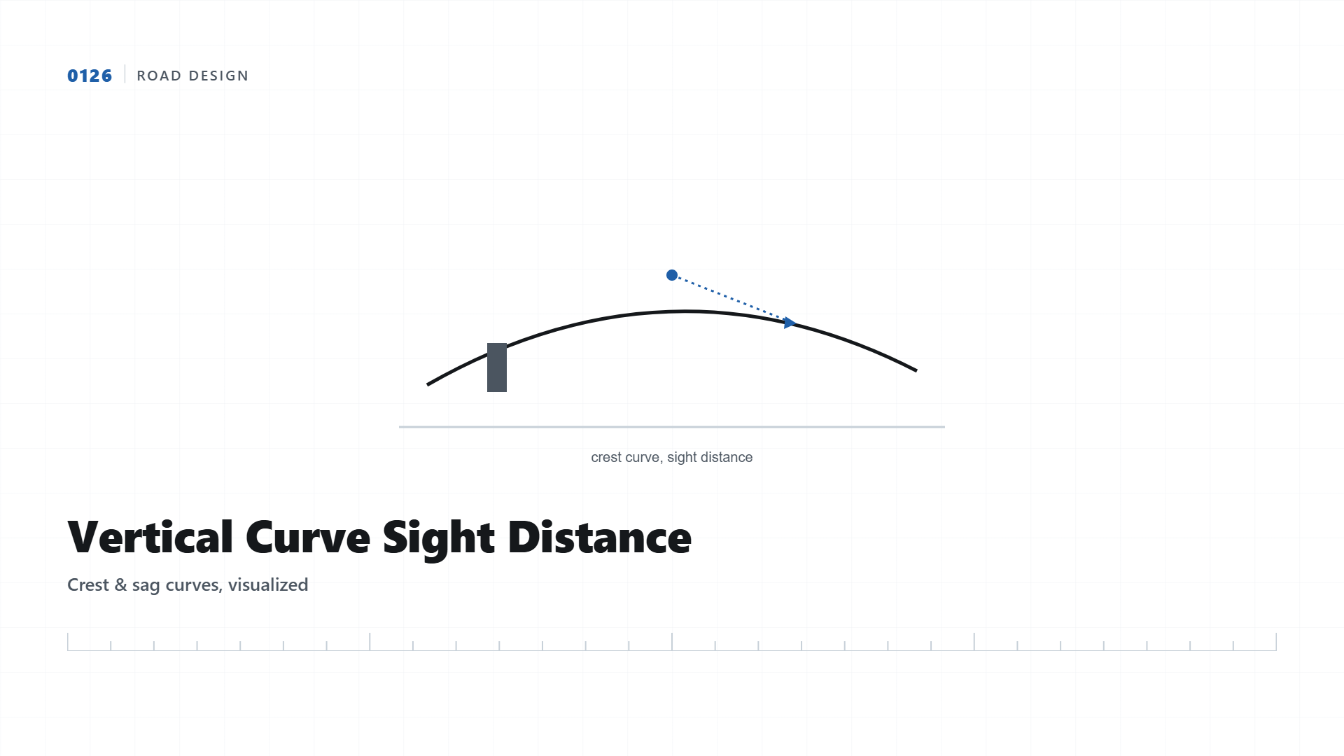
Vertical Curve Sight Distance Visualizer
See how a crest curve's radius determines how far ahead a driver can actually see, and where that survey grade data comes from.
Where a road goes over a hill crest, the vertical curve connecting the uphill and downhill grades determines how far ahead a driver can see before an obstacle disappears below the curve. A curve designed too sharply, even if grades on either side seem reasonable individually, creates a sight distance hazard drivers cannot see coming. This visualizer shows that relationship directly.
Where This Data Actually Comes From
Grade values entered into road design software originate from ground elevation data captured during a topography survey, and the accuracy of that data directly determines whether the resulting vertical curve calculation reflects reality. A survey with insufficient elevation detail at the crest location can miss a locally steeper section, leading to a design that looks compliant on paper but underperforms on the actual constructed road.
| Design Speed | Minimum Stopping Sight Distance |
|---|---|
| 40 km/h | 45m |
| 60 km/h | 85m |
| 80 km/h | 130m |
| 100 km/h | 185m |
Why This Matters for Every Linear Alignment Project
This same crest sight distance principle applies to highways, and a related sag curve consideration applies to headlight visibility on unlit roads at night. A linear project survey that captures dense, accurate elevation data along the full proposed alignment gives designers the confidence that vertical curve calculations reflect actual terrain, not an approximation between widely spaced survey points.
Terrain data capture at a hill crest, the input that vertical curve sight distance calculations depend on.
Need Precise Alignment Survey Data?
We deliver dense, accurate topographic data for road, highway, and railway alignment design.
Get Quote on WhatsApp