Topographical Survey Charges: DGPS and Drone Rates Per Hectare in India
A topographical survey and a boundary survey sound similar, but the field work is not close. A boundary survey needs perimeter points and a computed area. A topographical survey needs the shape of the whole land, every level change, every physical feature, across the entire plot, not just its edges. That difference in scope is exactly why it costs more, and why it is priced differently for rural versus urban land.
That same difference in scope is also why topographical rates split so clearly between DGPS and drone based methods. Drone photogrammetry covers open ground far faster than a walked DGPS survey, but it is not suited to every site, and choosing the wrong method for a given terrain wastes both time and money. Here is how the actual rate table breaks down, by land type, area slab, and survey method, based on standard field practice.
Why Rural and Urban Rates Are Priced Differently
Urban topographical survey costs more per hectare than rural survey, and it is not because urban land is harder to measure in any technical sense using the instrument itself. It is because urban plots carry far more physical features per hectare: buildings, boundary walls, utility lines, roads, drainage channels, and other structures, all of which have to be individually located, identified, and logged, not just the ground level itself. Each of those features adds field time that open rural land simply does not require.
Rural land, by comparison, tends to have fewer features and longer open stretches, which lets a DGPS team cover ground faster per day without stopping every few metres to log a new object. That is the entire reason a rural survey under 100 hectares runs Rs.3,000 per hectare while the same size job in an urban area runs Rs.6,000. The equipment and the survey method are often identical between the two jobs. The feature density on the ground is what actually differs, and that is what the price reflects.
-
-
-
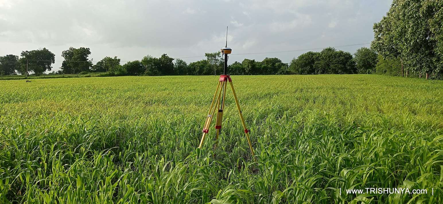
Topographical Survey Rates by Area and Location
Rates step down as area increases, the same slab logic used across most large scale land survey work, since a bigger job spreads mobilisation cost across more billable hectares.
DGPS Topographical Survey Rates
DGPS remains the standard method for topographical survey across most terrain types. Rural pricing runs from Rs.3,000 per hectare on jobs under 100 hectares down to Rs.1,000 per hectare once the job crosses 500 hectares. Urban pricing follows the same slab structure at roughly double the rate, reflecting the added feature density.
| Area and Location | Rate |
|---|---|
| Rural, Less than 100 Hectare | Rs.3,000 / Ha |
| Rural, More than 100 Hectare | Rs.2,000 / Ha |
| Rural, More than 500 Hectare | Rs.1,000 / Ha |
| Urban, Less than 100 Hectare | Rs.6,000 / Ha |
| Urban, More than 100 Hectare | Rs.5,000 / Ha |
Urban topographical rates run close to double rural rates for the same area slab, because feature capture density, buildings, utilities, roads, drives the field time far more than ground area alone.
Drone Photogrammetry Rates
Drone based topographical survey uses photogrammetry to capture the same ground data at significantly lower per hectare cost on large, open sites. A rural job under 100 hectares runs Rs.500 per hectare, well below the equivalent DGPS rate, and an urban job over 500 hectares runs Rs.1,000 per hectare. These two slabs reflect the conditions where drone photogrammetry performs best: open ground with a clear flight path. Other area and location combinations should be quoted directly, since site factors such as no fly zones, tree cover, or terrain affect whether drone survey is viable at all.
Minimum Charges by Method
A DGPS topographical survey carries a Rs.15,000 minimum charge. A drone based survey carries a Rs.25,000 minimum, reflecting the added cost of flight planning, ground control points, and post processing that a drone survey requires regardless of job size.
"A topographical survey is not just walking the boundary. You are recording the shape of everything on that land, and that is what actually decides the price." Field practice note, topographical survey operations
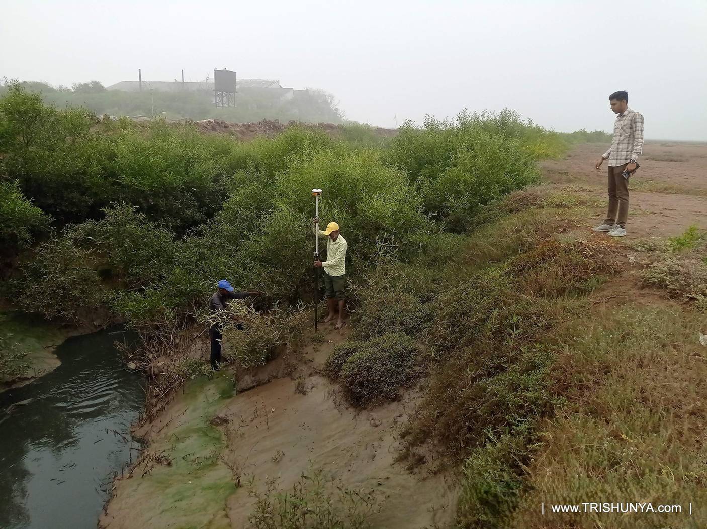
DGPS Equipment: Rover and Base, Working Together
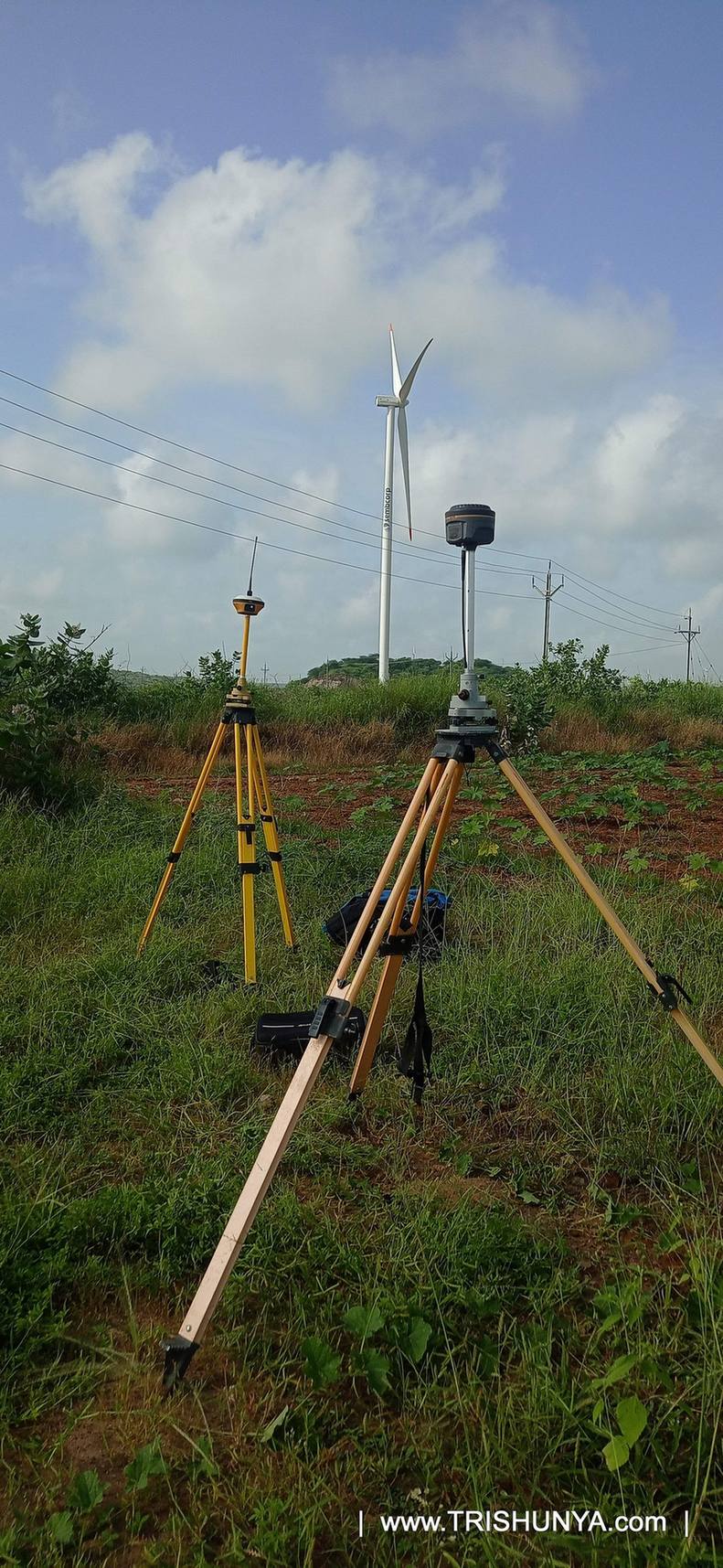
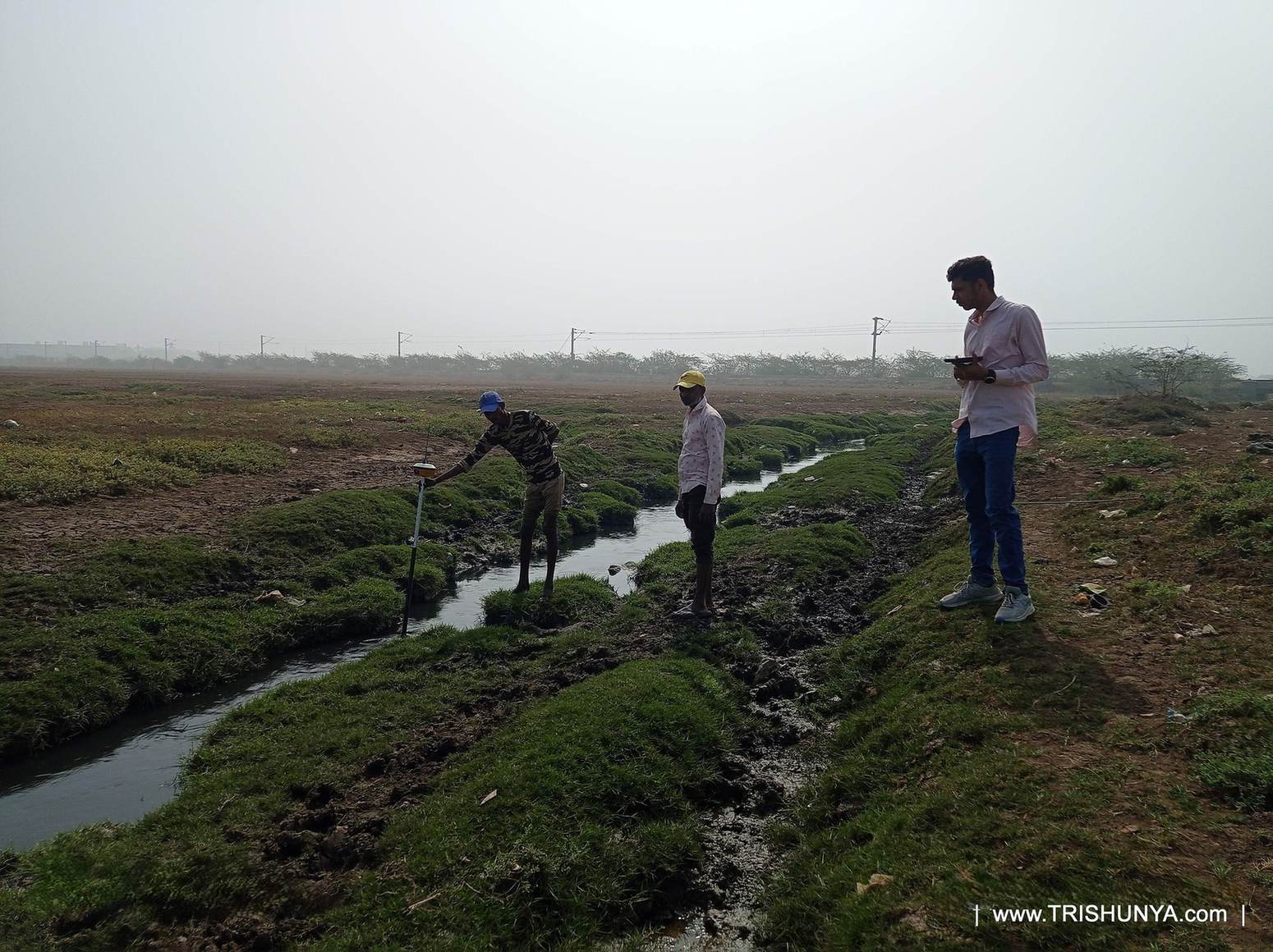
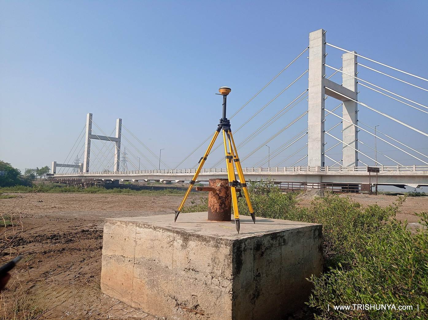
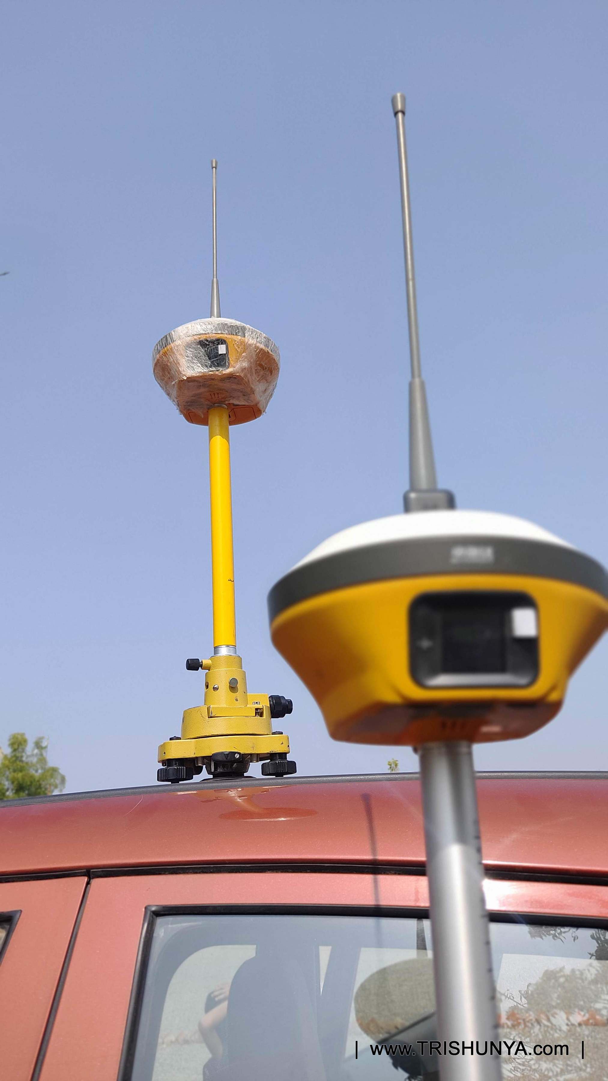
A DGPS topographical survey setup uses two units working as a pair: a base station that stays fixed at a known reference point for the full survey duration, and a rover that the surveyor physically carries across the site to capture each feature. The rover communicates with the base over radio to correct its own position in real time, which is exactly what gives DGPS its accuracy without needing a direct line of sight to any second survey point, unlike a total station, where the instrument and the target always have to see each other.
| Component | Role | Notes |
|---|---|---|
| Base Station | Fixed reference point | Stays at one known coordinate for the full survey duration |
Urban plots carry far more features per hectare, buildings, boundary walls, utility lines, roads, drainage, all of which have to be individually located. Rural land tends to have fewer features and more open stretches, which lets a team cover ground faster per day.
DGPS captures ground data by walking the site with a rover unit. Drone photogrammetry captures the same data from the air, which covers open ground faster and at lower cost per hectare, though it needs a clear flight path and suitable site conditions.
A drone survey requires flight planning, ground control point setup, and post processing work regardless of job size, which pushes its minimum charge to Rs.25,000 against Rs.15,000 for DGPS.
Not always. Site specific factors such as no fly zones near airports, dense tree cover, or difficult terrain can rule out drone survey even where the area size would normally suit it. These cases should be discussed directly before assuming a drone rate applies.
The base station stays fixed at a known coordinate for the survey duration. The rover, carried across the site by the surveyor, communicates with the base over radio to correct its position in real time, giving accurate readings without needing line of sight between survey points.
Mobilisation cost, travel, setup, equipment cost, is largely fixed regardless of job size. Spreading that fixed cost across more hectares lowers the effective rate per hectare on larger jobs.
Yes. Primary drawing preparation for topographic data is time consuming and is already factored into the given rates, not billed as a separate item.
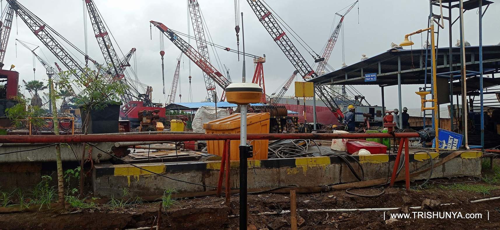
These sites carry feature density well beyond typical open land, metal debris, structures at odd angles, restricted walking paths, all of which add field time beyond what the standard rate table assumes.
Yes, typically as a supplementary method on sections where satellite signal is obstructed or very tight local accuracy is needed around a specific structure, rather than as a replacement for DGPS across the full site.
Terrain, access, flight conditions, and feature density all factor in. DGPS suits sites needing ground level feature capture with high accuracy, while drone photogrammetry suits large, open, clear flight path sites where speed and cost per hectare matter more.
When Site Conditions Push a Job Off Standard Rates
Ship breaking yards, industrial sites, and dense urban plots often carry feature density well beyond typical open land, and that is one reason topographical work in these settings tends to run above the standard urban rate quoted earlier. Metal debris, structures at odd angles, uneven ground, and restricted walking paths all add real field time that a straightforward open plot simply does not demand from the crew.
Team based capture, meaning multiple surveyors working sections of a large site in parallel rather than one crew covering it sequentially, is common on these harder jobs specifically to keep the field schedule realistic. It is a deliberate choice to protect timeline rather than compress a genuinely complex site into the same day count that a simple rural plot of the same area would need.
Not sure which survey method fits your site?
DGPS and drone photogrammetry solve the topographical survey problem differently, and the right choice depends on terrain, access, and flight conditions specific to your land.
See DGPS & RTK SurveyOn sites with dense features, buildings, utility corridors, drainage networks, a team of surveyors working corner points in parallel keeps daily coverage close to standard, rather than letting feature density stretch the field schedule.
Watch: Topographical Survey in the Field
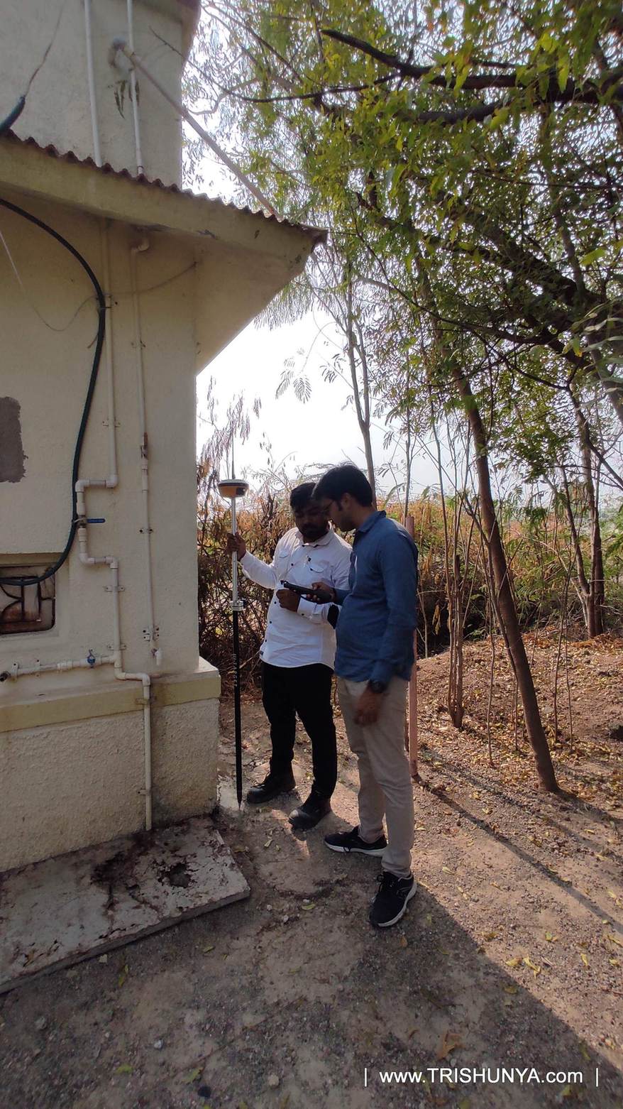
Total Station as a Supplementary Method
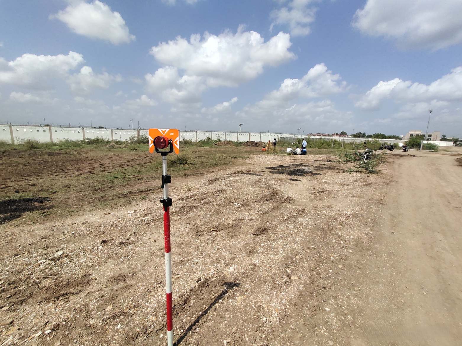
While DGPS and drone dominate this pricing table, total station still has a role in topographical work, particularly on sites where satellite signal is obstructed or where very tight local accuracy is required around a specific structure. It is typically used alongside DGPS rather than as a full site replacement for it.
Getting an Accurate Quote for Your Site
The rates above assume standard field conditions for the stated area slab. Terrain, feature density beyond typical, access restrictions, and weather all move the actual number, and the fastest way to land on an accurate figure is a direct conversation about the site rather than applying the table blindly.
More From the Field
More From the Field, Video
Closing
Topographical survey pricing looks more complex than boundary survey pricing because it genuinely covers more ground, both literally and in the level of feature detail captured. Rural versus urban, DGPS versus drone, each of those choices moves the final number in a predictable direction once you understand what actually drives it, rather than treating the rate table as an arbitrary lookup.
Whether the site is an open rural plot or a dense urban block full of features to capture, Trishunya's field teams run DGPS and drone based topographical survey across India, and the fastest way to land on an accurate number for a specific site is to walk through the scope directly with a surveyor.