Barometric Elevation vs Survey Leveling Accuracy
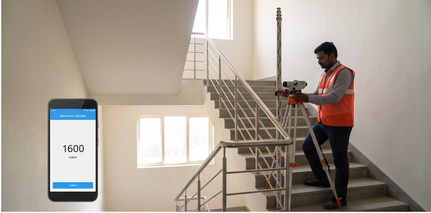
Climb four flights of stairs with a phone's altitude readout open and watch it disagree with itself. On a still morning it might report a gain of 12.6 metres for a stairwell that a tape measure puts at exactly 13.2 metres. Run the identical climb an hour after a weather front passes through, same building, same steps, zero extra movement, and the number can shift again. That drift is not a phone malfunction. It is barometric elevation behaving exactly as physics predicts, and it is precisely why survey leveling accuracy is never established with a barometer or a GPS chip at all.
The tool below lets you run that stairwell test yourself. Enter how many floors you climbed and your floor-to-floor height, and it computes the true surveyed elevation gain alongside a barometer-implied estimate that carries a realistic weather-drift error, the same class of error a consumer altimeter produces every day. On supported devices it will also attempt to read a live barometric pressure sensor, though that part is experimental and most browsers will simply say so.
How Barometric Elevation Works, and Why It Drifts With the Weather
Every consumer altimeter, phone or otherwise, works backward from a single measurement: air pressure. Near sea level, atmospheric pressure falls by roughly 1 hectopascal for every 8 to 9 metres you climb, because there is simply less air pushing down on the sensor above you. A phone converts its raw pressure reading into a height using this relationship, then subtracts a baseline to show you a change. The exact rate is not constant. It depends on temperature and on the altitude band you are in, which is why serious altimetry uses the International Standard Atmosphere model rather than a flat conversion factor, and why the relationship becomes noticeably non-linear once you move well above sea level.
The problem is that pressure at a fixed point on the ground never sits still. A passing weather front, a change in humidity, or simply the sun heating a stairwell over an hour can shift local pressure by a few tenths of a hectopascal, which the formula above reads as metres of apparent elevation change. Stand perfectly still in a building lobby for sixty minutes and your phone's altimeter can drift by more than a metre for a reason that has nothing to do with height. That is the entire flaw in using barometric elevation, or GPS-derived altitude for that matter, on anything that needs engineering-grade numbers.
Stairwell Elevation Tool: Known Gain vs Barometer-Implied Gain
Works on any device. The live sensor mode is a bonus if your browser supports it.
Manual Calculator (works on every device, no sensor required)
Simulated weather-driven pressure drift of about 0.16 hPa was enough to shift the barometer's answer by 1.35 m, even though the climb itself was fixed. This illustrates a well-established general limitation of barometric altimetry, not a specific field measurement.
Why Phone Altitude Fails for Engineering-Grade Work
Whether a phone's altitude figure comes from its barometer or from GPS, it is unsuitable for construction layout, drainage grading, or benchmark work, and not for one single reason but several stacked on top of each other.
No fixed reference
Barometric altitude is calculated against whatever pressure the sensor last saw as "zero." That baseline drifts with weather all day, so the same physical spot reads differently at 8 AM and 2 PM.
GPS vertical is the weak axis
Consumer GPS chips derive height from the same satellite geometry used for horizontal position, but vertical dilution of precision is inherently worse, so altitude error typically runs several times larger than horizontal error.
Coarse sensor resolution
A phone's MEMS pressure sensor resolves roughly 0.01 to 0.06 hPa per step, which by itself already rounds to tens of centimetres of apparent elevation change before weather drift is even added in.
No calibration to a benchmark
Every reading is relative to whenever the sensor was last zeroed by the user or the OS. There is no traceable link to a surveyed benchmark, which is the entire point of a leveling network.
The atmospheric pressure that fools a phone's altitude reading does not stop at consumer devices. An electronic distance measurement (EDM) unit inside a total station measures distance using the travel time of a modulated light wave, and the speed of that light through air depends on the air's density, which depends on pressure and temperature. Leave the instrument on its factory default atmospheric setting instead of entering today's actual pressure and temperature, and every distance it reports carries a silent, uniform bias across the whole traverse.
Barometric Elevation vs Survey Leveling Accuracy: Comparing the Methods
Four instruments can all report "elevation," and all four belong to different accuracy tiers. Knowing which one a project actually needs, rather than which one happens to be in someone's pocket, is most of the battle.
| Method | Typical Precision | Primary Error Source | Typical Field Use |
|---|---|---|---|
| Phone barometer / GPS altitude | ±3 to 15 m | Weather-driven pressure drift, weak vertical satellite geometry, no fixed baseline | Rough orientation, hiking apps, casual reference only |
| Total station (trigonometric height) | ±5 to 20 mm per 100 m sight | Uncorrected EDM atmospheric ppm error, prism or target centring, curvature/refraction on long sights | Construction layout, structural alignment, control traverses |
| Differential / spirit leveling | ±1 to 2 mm per km (double-run) | Staff calibration, bubble centring, refraction on unusually long backsights | Benchmark transfer, site leveling, earthwork grading control |
| DGPS / RTK-derived height | ±15 to 30 mm vertical | Satellite geometry (PDOP/VDOP), multipath, local geoid model accuracy | Topographic mapping, control densification, large-area leveling |
Why Differential Leveling Reaches Millimetre Survey Leveling Accuracy
Differential leveling, the classic spirit level or automatic level and a graduated staff, sidesteps this entire category of error by design. It never measures absolute height from a formula. It measures the difference in height between two points by establishing a fixed, calibrated horizontal line of sight and reading where that line intersects a graduated rod at the backsight and again at the foresight. Chain that process from a known benchmark across a site, closing the loop back to a known point to check the error, and you get millimetre-level precision that has nothing to do with air pressure, temperature, or satellite geometry at all. That independence from atmospheric conditions is exactly why it remains the reference method for setting finished floor levels, drainage falls, and earthwork grading control, even on projects that also use GNSS and total stations for everything else.
A modern site leveling survey typically blends this discipline with faster methods: DGPS for rapid area coverage, total stations for line-of-sight control points with proper atmospheric correction applied, and differential leveling to carry certified elevation to the benchmarks that a construction survey gets checked against at handover. Terrain models built from any of these, including a DEM derived from aerial or LiDAR capture, still need at least one leveled ground control point to be trustworthy at engineering scale, which is the practical reason phone altitude never substitutes for a proper vertical control network.
Run the stairwell calculator above with your own building's numbers and the gap between "known" and "barometer-implied" will look small on a phone screen but decisive on a drawing set: a metre of vertical error is meaningless for a hiking app and disqualifying for a drainage invert. If a site needs elevation figures that hold up under a structural review or a stormwater calculation, that number has to come from a leveling run tied to a real benchmark, not a pressure sensor guessing at the weather.