GPS vs RTK Accuracy: The DGPS Staircase on Your Own Map
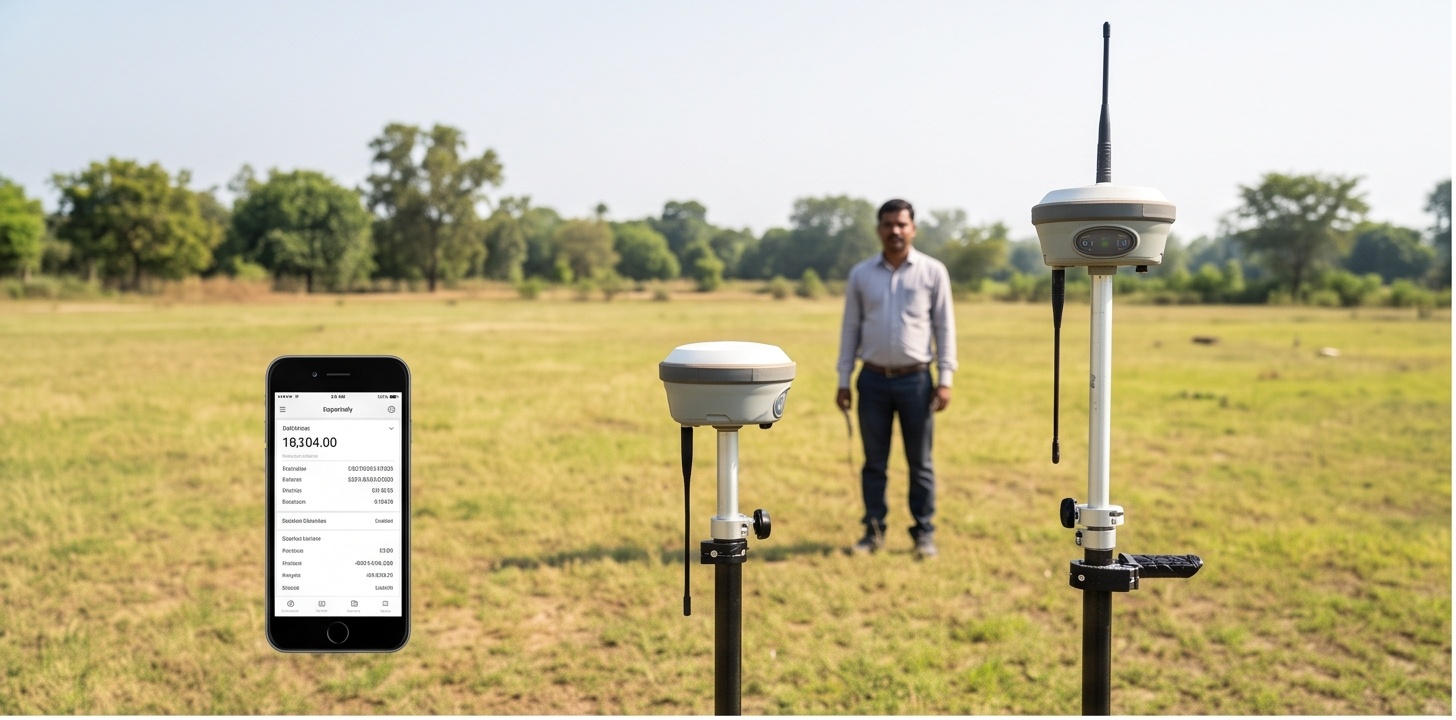
Open your phone's map app and it places a blue dot on your street within a few metres. Open a browser tab using only your IP address and the same device might place you in a city ten kilometres away. Neither number is wrong, they are simply two rungs on the same ladder that also includes DGPS and RTK. This page runs your own real position through all four rungs, GPS vs RTK accuracy included, side by side on one live satellite map, so the difference stops being a spec sheet and becomes something you can watch collapse in real time.
GPS vs RTK Accuracy: Four Tiers, One Real Position
Four different systems can each hand you a coordinate for the same point, and every one of them is correct within its own error budget. An IP address maps to a city. A phone's GNSS chipset maps to a doorway. A DGPS receiver maps to about a car door's width. An RTK-fixed rover maps to about a fingernail. The tiles below carry the current representative radius for each tier; the tool further down draws every one of them on your own map so the drop in scale is visible instead of just stated.
Watch Your GPS vs RTK Accuracy Staircase Collapse, Live
IP location loads automatically. Precise device GPS only activates after you tap the button and grant permission.
position.coords.accuracy value your browser reports, both genuinely fetched. The Tier 3 (DGPS) and Tier 4 (RTK) circles are illustrative reference values for typical differential-correction and RTK-fixed accuracy, not a live correction actually being applied to your browser's position. Geolocation API accuracy varies by device, sky visibility, and surroundings, indoors or under tree cover it can be well outside the 3 to 10 m usually quoted for open sky. Precise GPS access needs your explicit permission and a secure (https) connection.
GPS vs DGPS vs RTK: What Each Tier Actually Buys You
All three systems read the same satellites in the sky, they differ almost entirely in what corrects the raw measurement before it becomes a coordinate on your screen.
- Typical accuracy
- 3 to 10 m under open sky, autonomous
- Correction source
- None, broadcast ephemeris plus an ionospheric model only
- Time to fix
- Effectively instant
- Best for
- Reconnaissance routes, general navigation, rough field checks
- Typical accuracy
- 0.3 to 0.5 m, submeter
- Correction source
- Real-time code-phase corrections from one nearby base station, or SBAS
- Time to fix
- A few seconds
- Best for
- GIS attribute mapping, utility and asset mapping, boundary reconnaissance
- Typical accuracy
- About 0.02 m (2 cm) horizontal
- Correction source
- Real-time carrier-phase corrections from a base station or a CORS network
- Time to fix
- Seconds to a couple of minutes, depending on baseline and satellite geometry
- Best for
- Control points, stakeout, direct-georeferenced drone mapping
An accuracy figure only means something once you ask what it was checked against. A standalone GPS receiver only agrees with itself. A DGPS or RTK rover agrees with a known point on the ground, and that agreement is what a survey actually needs.
Why GPS vs RTK Accuracy Differs by Orders of Magnitude
A DGPS or RTK base station sits at a coordinate that has already been surveyed precisely. Because it knows exactly where it is, it can compare that known position against what the raw GNSS math is telling it right now, and the difference is almost entirely error: atmospheric delay, satellite clock drift, and orbital uncertainty, the same error a nearby rover is picking up through nearly the same patch of sky. The base station packages that difference as a correction and transmits it to the rover in real time, DGPS as a code-phase correction, RTK as a carrier-phase correction, and the rover applies it before it ever shows a coordinate. What is left over afterward is mostly multipath and receiver noise, which is why RTK gets to centimetres and a standalone GPS chipset does not.
Distance from the base station is not free, though. As the atmosphere above the base and the atmosphere above the rover become less correlated with separation, residual position error grows with baseline length, roughly by 1 part per million of the distance to the base station as a general rule of thumb. A base station 20 km away adds proportionally more uncertainty than one 2 km away. That is why RTK setups either keep a physical base reasonably close to the work area or rely on a network of reference stations, a CORS network, that interpolates a correction as if a base were sitting right beside the rover wherever it happens to be working.
Single Frequency vs Dual Frequency: Why Some Rovers Fix Faster
Single-frequency receivers, the kind built into most smartphones, only see the L1 signal and have to estimate ionospheric delay from a broadcast model, an educated guess rather than a measurement. Dual-frequency receivers track L1 alongside L2 or L5 and, because ionospheric delay changes with signal frequency in a known way, can measure the actual delay directly from the difference between the two signals and cancel most of it. That is the practical reason dual-frequency rovers converge to a fixed RTK solution faster and hold that fix reliably over longer baselines than single-frequency hardware working from a model alone.
DGPS and RTK Accuracy in Drone Survey Ground Control
None of this stays academic on a mapping flight. A drone's onboard GPS is entirely adequate for planning the reconnaissance flight path itself, it only needs to know roughly where it is to fly a grid pattern. What changes the final deliverable is the positioning behind each photograph. A drone survey flown with only a standalone GPS module usually still needs ground control points to pull the finished orthomosaic and DEM into survey-grade accuracy. A drone carrying onboard DGPS or RTK, tagging every image with a corrected coordinate at the moment of capture, can reach direct-georeferencing accuracy tight enough to reduce the number of ground control points required, sometimes substantially. Since laying out and observing GCPs is often the single largest time cost on a mapping mobilization, that difference in topography data quality shows up directly in the project schedule, not only in the final accuracy report. Projects that demand centimetre-level control typically pair the aerial work with a dedicated DGPS and RTK survey for ground truthing and checkpoint verification.
The staircase above is not a marketing graphic, it runs on the same physics every GNSS-based survey method depends on, just made visible against your own coordinates instead of a textbook diagram. Whichever tier a project actually needs, from a rough reconnaissance route to a centimetre-level RTK control network, matching the equipment to the required accuracy is the decision that controls project cost and schedule far more than any single spec sheet number.