Live GPS Satellite Tracker: See Your Sky Right Now
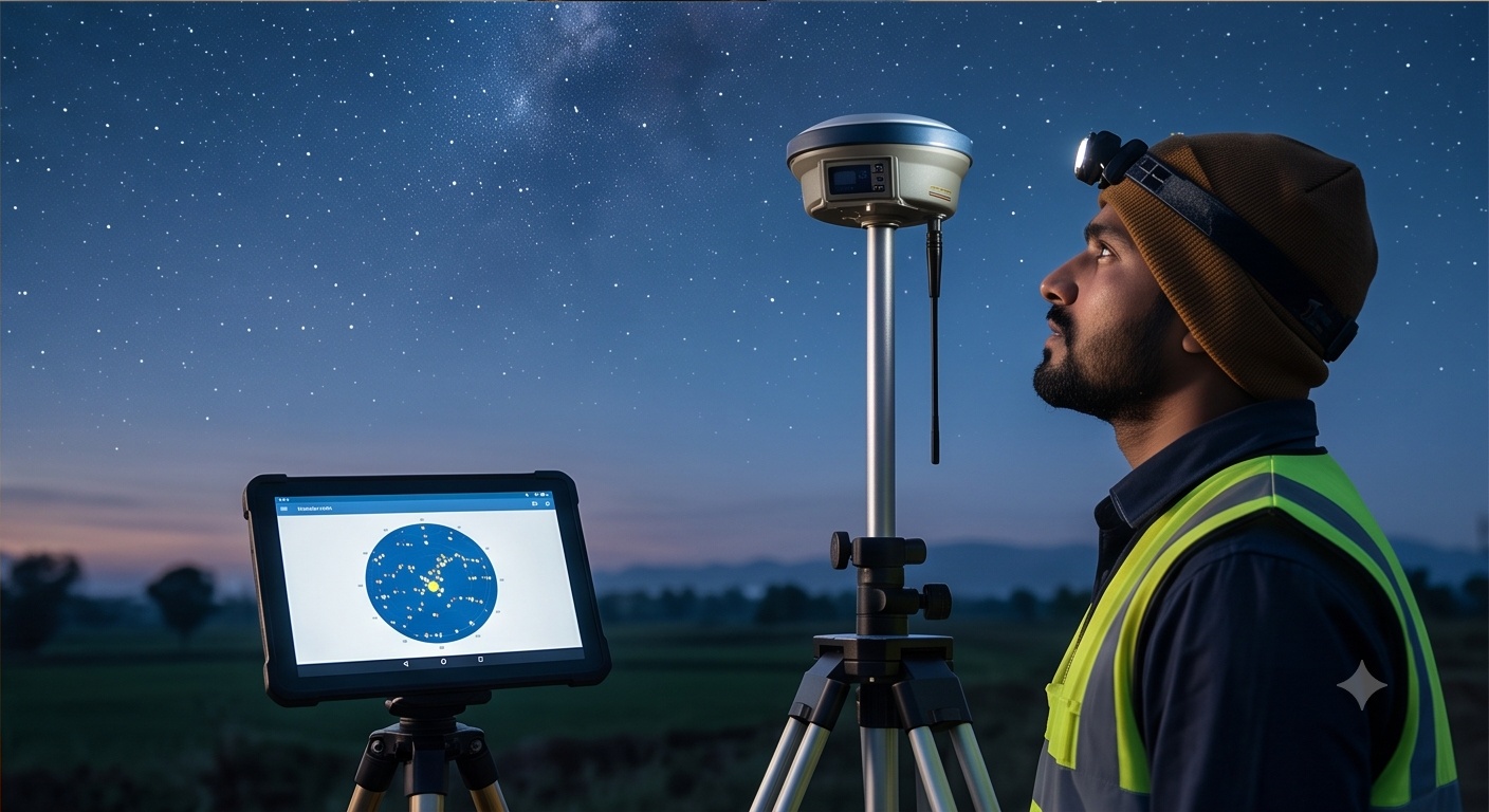
Point a receiver at open sky anywhere in India right now, and it is listening to a moving, invisible traffic pattern: GPS, GLONASS and NavIC satellites tracing arcs overhead, some rising, some about to duck behind the horizon. A GPS satellite tracker that shows this pattern live, using real orbital data instead of a fixed illustration, turns that invisible geometry into something a survey crew can actually plan around. The tool below pulls current orbital elements for the GPS and GLONASS constellations straight from CelesTrak, propagates each satellite's position for this exact moment and location, then plots the sky as it actually looks from wherever you are standing, alongside the PDOP number that decides whether a DGPS fix holds steady or wanders.
Live GPS Satellite Tracker: Your Sky Plot Right Now
Allow location access for the closest result, or click the map to check a different site. The tracker recomputes visibility, PDOP, HDOP and VDOP the moment the location changes.
Live Data Sources
Sky plot for right now at the detected or selected location. Each dot marks a satellite's azimuth and elevation above the 10 degree mask most survey-grade receivers use as a usable-signal cutoff.
Typical pattern across a 24-hour window: combined GPS, GLONASS and NavIC visibility generally stays between 10 and 20 satellites, with PDOP under 2.5 for most hours at open-sky Indian locations.
Behind the GPS Satellite Tracker: How a GNSS Fix Is Computed
The sky plot above is not a stock illustration. It runs the same chain of calculations a GNSS receiver performs internally, simplified enough to run in a browser tab.
Signal Broadcast
Each satellite transmits a signal encoded with its own precise orbital data and an exact timestamp from an onboard atomic clock.
Pseudorange Measurement
The receiver times how long each signal took to arrive and converts that delay into an estimated distance, called a pseudorange, to every satellite above the horizon.
Trilateration Plus Clock Bias
Three distances narrow position to two points in space. A receiver's clock is far less precise than the satellites', so a fourth satellite is needed to solve for that clock offset too.
Position + Clock Solution
Four unknowns (X, Y, Z and clock bias) are solved from four or more pseudorange equations, producing a raw single-point fix, typically accurate to a few metres.
Differential / RTK Correction
A base station at a known coordinate broadcasts correction data, which the rover applies to cancel most atmospheric and orbital error, narrowing the solution toward centimetre level.
Ambiguity Resolution
The receiver resolves the exact integer count of carrier-phase wavelengths to each satellite. Resolved with confidence, the solution is fixed; unresolved, it stays float.
Constellation Specs: GPS vs GLONASS vs NavIC
The three constellations this tracker draws from are not interchangeable. Each operates at a different altitude, orbital period and coverage design, which is exactly why combining them changes the geometry a receiver sees, especially over India.
| Constellation | Operator | Orbital Altitude | Orbital Period | Nominal Satellites | Primary Coverage |
|---|---|---|---|---|---|
| GPS | United States Space Force | ~20,200 km (MEO) | ~11h 58m | 31 operational (24 baseline) | Global |
| GLONASS | Roscosmos, Russia | ~19,100 km (MEO) | ~11h 15m | 24 operational | Global |
| NavIC (IRNSS) | ISRO, India | ~35,786 km (GEO/IGSO) | ~23h 56m | 7 (3 GEO + 4 IGSO) | Indian subcontinent, plus about 1,500 km beyond the border |
Why a DGPS Fix Needs at Least Four Satellites
Three satellites are enough to trilaterate a position mathematically, the same principle as fixing a location from three known distances on a map. A GNSS receiver's internal clock, however, is a cheap quartz oscillator, not the caesium or rubidium standard riding on each satellite, so it carries its own unknown timing error. That turns the problem into four unknowns instead of three: X, Y, Z position and the receiver's clock bias. A fourth satellite supplies the fourth equation needed to solve for all of them together, which is why any DGPS or RTK survey instrument flags a warning the moment visible satellite count drops below four, and why PDOP, a single number describing how well the visible satellites are spread across the sky, becomes the practical measure of solution quality rather than raw satellite count alone.
What Happens When a Satellite Drops Behind a Building
Move that same setup next to a two-storey building or under tree canopy and the geometry changes even though the satellite count on paper still looks fine. A satellite that drops below the roofline is a satellite the receiver can no longer range to, and if it happened to sit at a wide azimuth spread from the rest of the constellation, its loss narrows the geometry sharply. PDOP can climb from a comfortable 1.5 to above 6 within a couple of minutes. An RTK rover mid-observation can drop straight from a fixed solution to float, or lose carrier lock entirely and need to re-initialize. A total station never deals with this, since it does not depend on sky visibility, but it is exactly why RTK crews position control points with a clear view of open sky whenever the site's topography and layout allow it.
Fix vs Float: What RTK Solution Quality Actually Means
RTK accuracy depends on resolving carrier-phase ambiguity, the exact whole number of signal wavelengths (about 19 cm each for GPS L1) between a satellite and the receiver's antenna. Resolve that integer count with high statistical confidence and the receiver reports fixed, the state that delivers the 10 to 20 mm horizontal accuracy survey crews rely on for control points and stakeout. Until the ambiguity is resolved with enough confidence, the receiver reports float: still a usable position, but built on a real-valued estimate rather than a resolved integer, which typically carries decimeter-level uncertainty instead of centimeter-level. A float reading that looks perfectly stable on screen can still be 10 to 30 cm off, a gap that matters a great deal on a boundary corner and much less on a rough grading check.
Why NavIC Strengthens GNSS Coverage Over India
GPS and GLONASS are both global constellations, designed to give reasonably even coverage everywhere on Earth, which means neither one guarantees strong geometry over any single country at every hour of the day. NavIC was built with the opposite priority. Its primary service area is the Indian landmass and roughly 1,500 km beyond the border, and its three geostationary plus four inclined geosynchronous satellites sit at altitudes and inclinations chosen specifically so several of them stay at a genuinely useful elevation angle over India around the clock, not just when the orbital planes happen to line up.
NavIC's geostationary and inclined geosynchronous satellites sit permanently within India's sky window, adding satellites at favourable elevation angles that GPS or GLONASS alone cannot guarantee at every hour. Over the Indian subcontinent, this extra geometry lowers PDOP specifically during the hours when the global constellations thin out, which is often precisely when a survey crew most needs a strong fix.
Mission Planning: Read Tomorrow's PDOP Window Like a Weather Forecast
None of this is only academic. A crew that checks tomorrow's PDOP window before loading the vehicle catches the same kind of problem a weather check catches: not a guarantee of perfect conditions, but enough warning to avoid mobilizing equipment into a two-hour stretch where satellite geometry is working against the observation. Scrub the 24-hour chart above to the hours your crew plans to be on site. If PDOP sits comfortably under 2 for that window, the geometry is already on your side before anyone leaves the office.