Magnetic Declination Live Test: Compass vs True North
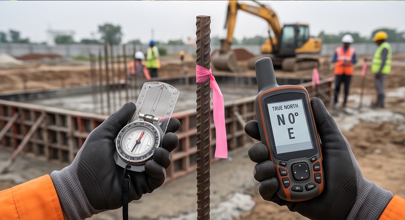
A property line surveyed with a hand compass decades ago and retraced today with GNSS often lands a visible distance from the old iron pin, and the gap is rarely a mistake by either surveyor. The real cause is usually magnetic declination, the angle between magnetic north and true north, which keeps drifting year after year while the deed bearing stays frozen on paper. The tool below lets you measure your own local magnetic declination live, right in this browser: mark two points on the map, physically point your phone at the second one, and compare what your compass reads against what geometry says it should read.
The India figure is a general regional statement, not a certified value for any one coordinate. Your own measured result below is specific to where you stand.
How This Live Magnetic Declination Tool Actually Works
This page does not pull a number from any declination database, and it does not need one. It measures your local declination the way a field crew would confirm one by hand: compute the true forward bearing between two points using standard spherical trigonometry, then compare that to what your phone's magnetometer reads when you physically aim the device along the same real-world line. Subtract one from the other and the result is your own live, empirical declination, specific to exactly where you are standing right now rather than a historical average pulled off a chart.
- Click the map to drop Point A where you are standing, or plan to stand.
- Click again to drop Point B on a landmark you can physically see and point at.
- Read the computed True Azimuth from A to B in the panel on the right.
- Tap Enable Compass, physically point the top edge of your phone at Point B, then tap Capture Heading.
Stand at Point A. Physically point the top edge of your phone toward the real-world spot you marked as Point B. Tap Capture Heading.
Reading Local Magnetic Interference While You Measure
Once the compass is active, do not just point it once and walk away. Slowly carry the phone toward any of the objects below and watch the live heading number on screen. A steady reading that suddenly jumps five, ten, or twenty degrees within a metre of the object is local magnetic interference, exactly the kind of error that makes a handheld compass bearing unreliable anywhere near modern infrastructure.
- A manhole cover or buried steel utility box
- Rebar sticking out of a concrete slab or column
- A parked car, motorbike, or any vehicle chassis
- Steel fencing, gates, or chain-link near the boundary line
Magnetic North vs True North: What Actually Moves
These two norths answer two different questions, and old surveys run into trouble whenever the two get treated as the same line.
Magnetic North
- Set by Earth's shifting magnetic field, wanders tens of kilometres a year
- What a handheld or phone compass actually points toward
- Bent off course by nearby steel, rebar, current, and vehicles
- The value a declination correction has to account for
True North
- Set by Earth's fixed rotation axis, does not wander
- What GNSS observation and astronomic sightings resolve directly
- Unaffected by nearby metal, wiring, or vehicles
- The fixed reference every plan and grid is drawn against
Why a 1980s Deed Bearing Won't Match Today's Magnetic Declination
Compass surveys recorded bearings exactly the way the needle read at that moment, not as a fixed angle to any permanent line on the ground. If an old deed states a boundary at, say, N 42° E off a magnetic compass, that reading only makes sense once you know the declination the original surveyor was using that year, and that figure is almost never written on the plan itself. Since then, magnetic north over most of the Indian subcontinent has kept up its slow secular drift, so aiming a modern compass along the same recorded bearing today points it at a slightly different line on the ground than it did originally.
Over a long boundary, even one or two degrees of forgotten drift becomes metres of lateral shift by the time you reach the far corner pillar, which is exactly the kind of gap that turns into a fence-line argument between neighbours. This discrepancy shows up constantly in retracement work tied to land acquisition and boundary litigation, where a corner that looked settled on paper suddenly has two plausible locations once you stand on the ground.
Four Reasons Old Bearings Drift
A Reading, Not a Fixed Line
The recorded angle was true only to the needle and the date it was taken, never a permanent reference to the horizon.
Magnetic North Has Moved
Secular drift means the exact same compass reading points along a different real-world line today than it did decades ago.
No Declination Noted
Most old deeds never state which declination value, or which date, the original surveyor actually applied.
Undetected Local Interference
A nearby well head, gate hinge, or buried pipe could pull a period compass needle off by several degrees, unnoticed at the time.
"A magnetic bearing on an old deed is not a direction, it is a timestamp."
Field note on retracement survey practiceWhy Boundary Retracement Needs True North, Not a Compass
This is exactly why retracement and boundary work lean on GNSS observation or astronomic sighting to fix true north directly, instead of trusting a handheld compass anywhere near a corner pillar. A properly run DGPS and RTK survey ties every corner to the same fixed geographic or grid reference frame no matter what the local magnetic field is doing that week, which is the only way two surveys run decades apart can actually agree with each other. Even routine topography mapping benefits from the same discipline, because a site plan oriented to true north stays consistent no matter how many degrees the compass rose printed in the corner of the drawing would need relabelling twenty years from now.
None of this replaces a certified boundary survey, and it is not meant to. What it gives you is an honest, on-the-spot sanity check the next time an old bearing looks wrong, or a quick way to show a client why their grandfather's deed and today's total station do not quite agree. When real money, a permit, or a dispute rides on the answer, tie the corners to true north properly instead of trusting a pocket compass standing next to a steel gate.