Phone Camera vs Survey-Grade Photogrammetry: Live GSD Calculator
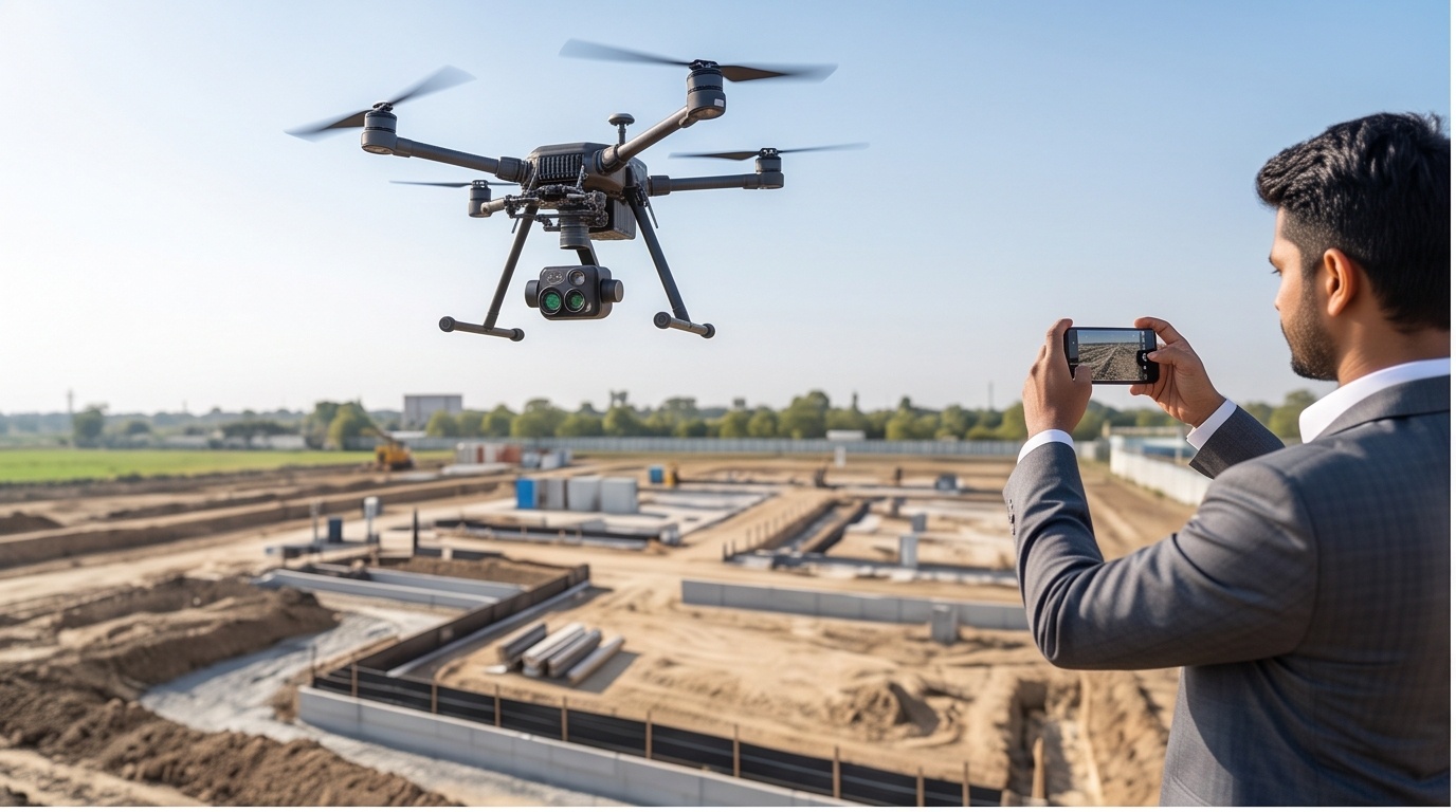
Live GSD Calculator: Phone Camera vs Drone Photogrammetry
Try It: Capture Two Overlapping Photos
Use your phone to take two photos of the same nearby object, shifting position slightly between shots, then compare them side by side below.
| Attribute | Typical Phone Camera | Survey-Grade Drone Camera |
|---|---|---|
| Sensor Size | ~6 to 7mm width (small crop sensor) | ~13.2mm width (1-inch class) |
| Focal Length Behavior | Variable/autofocus, uncalibrated | Fixed, factory-calibrated |
| Shutter Type | Rolling shutter (row by row) | Global (or mechanical) shutter |
| Lens Distortion Correction | No certified calibration model | Known radial/tangential model applied |
| Geotagging Precision | Coarse phone GPS, 3-5m | RTK/PPK tagged, 1-3cm |
| Typical GSD at Mapping Altitude | ~2-4.5 cm/px (optics only) | ~1.5-3.3 cm/px, with verified geometry |
What GSD Actually Controls in Photogrammetry
Ground Sample Distance is the size of one pixel projected onto the ground, and it sets the smallest real-world feature the resulting orthomosaic or point cloud can reliably resolve: a 2cm GSD will not guarantee a 1cm crack or curb edge shows up cleanly, no matter how many pixels the sensor packs in. Megapixel count alone does not fix this. GSD scales with sensor width and flight height, and scales inversely with focal length and image width in pixels, which is why a phone camera and a mapping-grade drone camera can carry similar pixel counts yet produce very different photogrammetry results at the same altitude.
Why Sensor and Shutter Beat Megapixels in Survey Photogrammetry
A survey-grade drone camera uses a fixed, factory-calibrated lens and a global shutter, so every pixel in a frame is exposed at the same instant, with a known distortion model that photogrammetry software can correct precisely during bundle adjustment. A phone's autofocus lens shifts focal length between shots, and its rolling shutter exposes each row a few milliseconds apart, smearing geometry during any movement. Add RTK-tagged coordinates in place of a coarse phone GPS fix, and the result is an orthomosaic that holds its accuracy across the whole site, the kind of output our drone survey teams deliver before a single frame reaches orthomosaic processing.