Earthquakes, Tectonic Drift and Your Survey Control
Live Earthquakes Near You, and How Far Your Control Point Has Drifted Since Its Epoch
Based on the Indian Plate's widely published motion of roughly 5 cm/year northeast relative to Eurasia. Real local rates vary somewhat near plate boundaries such as the Himalaya.
What an Epoch Means for Survey Control Coordinates
An epoch, in geodesy, is the reference date at which a set of coordinates is declared valid, because the ground beneath any survey control point never truly holds still. ITRF, the International Terrestrial Reference Frame, is rebuilt every few years and tied to that date for this reason: tectonic plates keep moving whether anyone is watching or not. Each dot on the map above marks a real, recent release of that same stored energy.
Why Your Survey Control Point Can Drift Tens of Centimetres
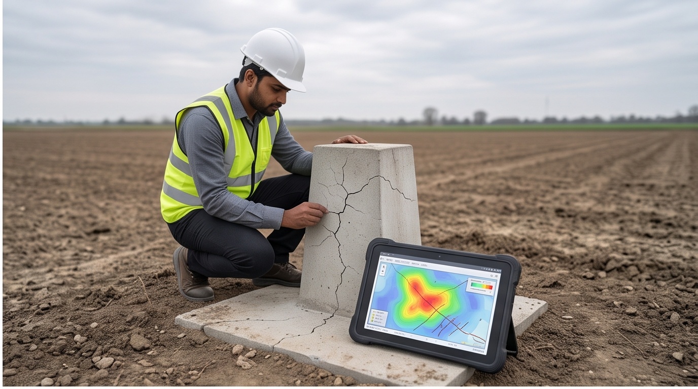
India rides a plate advancing northeast at a well-published rate near 5 cm a year relative to Eurasia, faster near the Himalayan front. A point fixed to an older ITRF epoch and re-observed today with modern GNSS can genuinely disagree by 40 to 60 cm, with zero instrument error, purely physical motion. Reconciling legacy control against a current epoch is now routine before topography or resurvey work resumes, and it is exactly what our GIS solutions team checks before trusting a decade-old benchmark.
An old coordinate is not wrong. It is simply dated, and the ground has since moved on without it.
Displacement = plate rate × years elapsed. At roughly 5 cm/year, a benchmark last observed in 2016 carries about 50 cm of accumulated drift by 2026, apart from any local subsidence or instrument tolerance stacked on top.