KMZ to DXF Converter: Unzip Google Earth Data for CAD
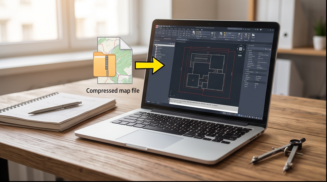
Convert KMZ to DXF, or DXF Back to KMZ, in the Browser
Unzip a Google Earth archive into CAD geometry, or zip a DXF back into a KMZ. Nothing leaves your browser.
Watch how it works
Demo, not the real uploaderThis mock window loops with sample data so you can see the flow before touching your own file. The real, working converter is underneath it.
Upload your KMZ file
We unzip it with JSZip, read doc.kml, and convert the geometry to DXF. Nothing is uploaded to a server.
Upload your DXF file
We read POINT, POLYLINE, and TEXT entities, build a KML 2.2 document, then zip it into a KMZ with JSZip.
DXF was drawn up decades before anyone styled a map with pin icons or draped a satellite photo over terrain, so the format simply has no slot for either. A KMZ to DXF conversion keeps geometry and name labels, that is the whole list.
Custom placemark icons, feature colors and line styles, and any ground overlay image embedded in the archive do not travel forward. Reopen those in Google Earth if you need the original styled view, the DXF is geometry only.
| Element inside the KMZ | Carries into DXF? | Why |
|---|---|---|
| Point placemark | Survives | Written as a DXF POINT entity |
| LineString path | Survives | Written as an open DXF POLYLINE with VERTEX per node |
| Polygon outer boundary | Survives | Written as a closed DXF POLYLINE (group code 70 = 1) |
| Placemark name | Survives | Written as a DXF TEXT entity at the feature location |
| Custom icon image | Lost | DXF has no embedded raster or icon reference slot |
| Feature color / line style | Lost | KML style tags have no DXF equivalent in this minimal format |
| Ground overlay image | Lost | No image container exists anywhere in a DXF file |
| Folder / layer grouping | Lost | All entities are flattened onto one layer (group code 8 = 0) |
Why KMZ Exists Instead of Plain KML
A KMZ to DXF conversion starts by admitting what a KMZ actually is: a zip archive holding one doc.kml file at its root, plus optional custom icons or a ground overlay image bundled alongside it. Google Earth uses that packaging so a styled map with a pin set and a draped satellite photo travels as one file instead of a KML plus a loose folder of pictures that someone inevitably forgets to attach.
What Survives the Trip into CAD
Point, line, and polygon geometry cross over cleanly, along with placemark names written as DXF TEXT entities. Custom pin icons, feature colors, and any ground overlay image get left behind, because DXF has no slot built for a picture. Our GIS solutions team runs this same extraction whenever a client hands over a Google Earth KMZ that needs to sit inside a GIS dashboard or a CAD base plan, and the honest answer stays the same every time: geometry travels, styling does not, and every coordinate keeps longitude before latitude on both ends of the archive.