DXF Flatten Tool: Strip Z-Values for Clean 2D CAD
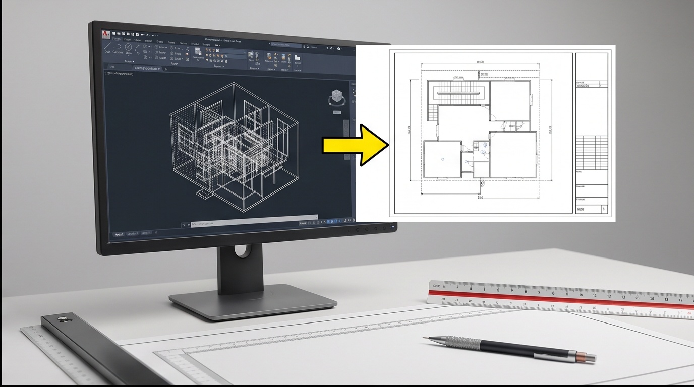
Flatten a DXF File to Clean 2D, Right in the Browser
Upload a DXF, we zero every elevation value, you download a flat 2D copy.
Watch how it works
Demo, not the real uploaderThis mock window below plays on a loop with sample data so you can see the flow before touching your own file. The real uploader is underneath it.
Upload your DXF file
Everything runs locally in your browser. No file is ever sent to a server.
Zeroing elevation is not the same as deleting a coordinate. Every line in the file keeps its group code, its position, and its structure, only the value on Z-bearing lines changes to 0.0.
Every X and Y coordinate stays exactly where it was surveyed. Layers, colors, block references, entity counts, and line types are untouched, the drawing is still valid DXF, it just has no height left in it.
| Group Code(s) | What It Stores | This Tool's Action |
|---|---|---|
| 10–18 | X coordinate of a point (1st to 9th defining point on an entity) | Left unchanged |
| 20–28 | Y coordinate matching the same defining point | Left unchanged |
| 30–37 | Z coordinate matching the same defining point | Zeroed to 0.0 |
| 38 | LWPOLYLINE constant elevation value | Zeroed to 0.0 |
| 39 | Entity thickness (extrusion height above the flat shape) | Zeroed to 0.0 |
| 210 / 220 / 230 | Extrusion direction vector (OCS normal, not elevation) | Left unchanged, out of scope |
Why 3D Survey Exports Carry Z on Every Vertex
A DXF flatten pass earns its keep right after a total station or RTK export, because every vertex in that file carries the elevation shot alongside X and Y. The field crew records grid coordinates and reduced level together at each point, so the CAD file naturally comes out three-dimensional. For a boundary plot, an area calculation, or an architectural base plan, that Z value sitting on every line and polyline vertex is just noise fighting the geometry, especially when the next person to open the file only wants outlines.
Flatten Is Not Delete: What Actually Changes
Zeroing elevation is different from deleting it. Every X and Y coordinate stays exactly where it was surveyed, only the height component drops to 0.0, so shapes and areas stay accurate. DWG needs a Save As DXF step first, since it is a closed binary format with no light way to read in a browser. This kind of cleanup sits close to what our GIS solutions team handles when turning field data into deliverable-ready drawings, and it pairs naturally with topography datasets where elevation was captured for a different purpose than the 2D plan now needs.