CSV to DXF Converter: Total Station Points to CAD
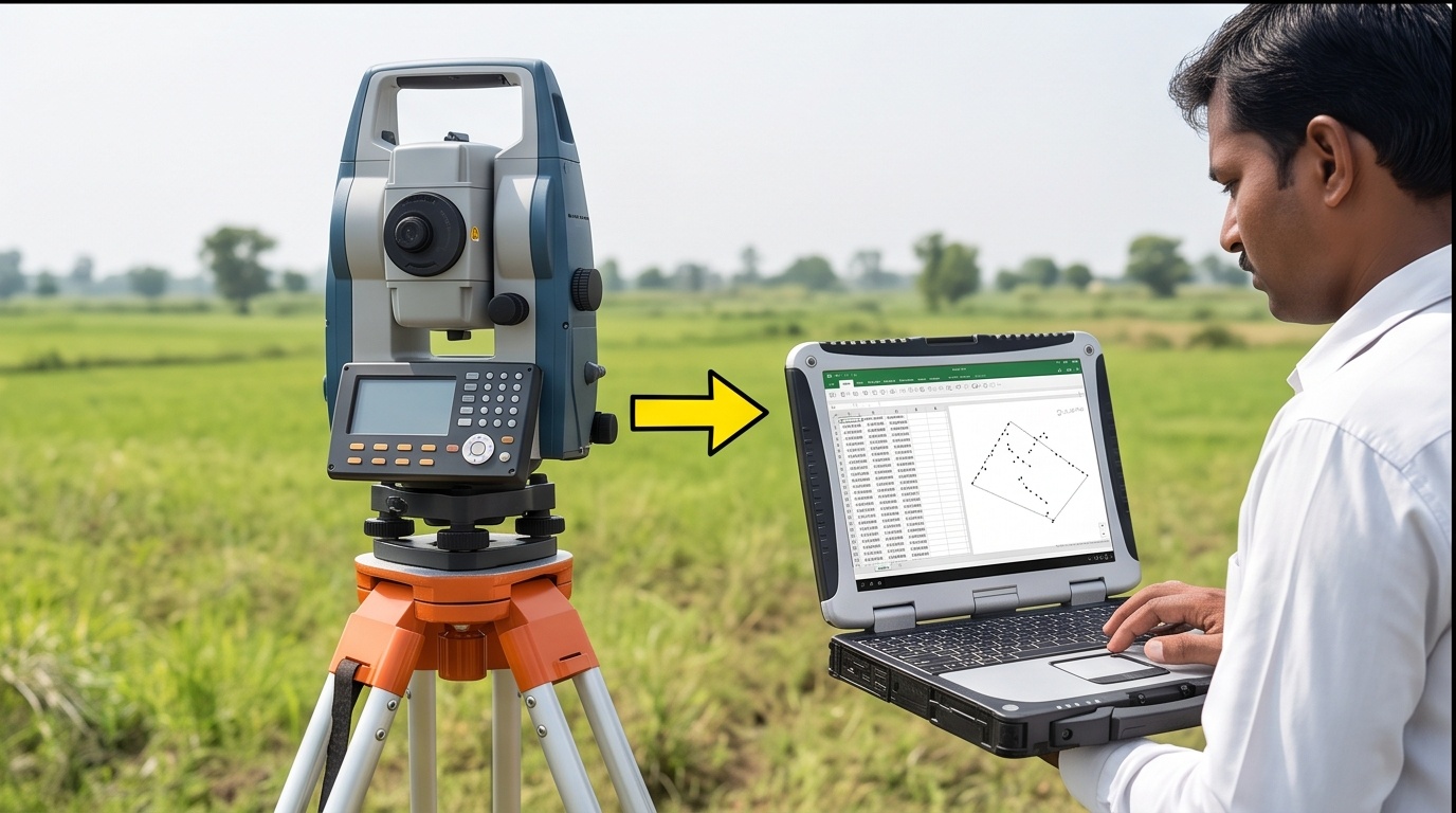
CSV to DXF Converter for Total Station Points
Upload your point CSV, assign the columns yourself, download a ready-to-open DXF.
Watch how it works
Demo, not the real uploaderThis mock window loops with sample data so you can see the flow before touching your own file. The real uploader with column assignment is underneath it.
Upload your point CSV
Everything runs locally in your browser. No file is ever sent to a server. Point number, coordinate and description columns can be in any order, you decide below.
Swap Easting and Northing on every point and the plot does not simply shift, it mirrors around the diagonal. Boundary corners, centerlines, and structure outlines end up in a different quadrant of the coordinate system while the shape between points can still look plausible on screen.
That is what makes this error dangerous: a mirrored plot rarely looks broken, it looks like a different site. The column-assignment step above exists to catch this before a single DXF entity is written, not after a drafter has already started work on the wrong geometry.
| Instrument / Software | Typical Column Order | Sequence |
|---|---|---|
| Leica, Sokkia and most classic total stations | PNEZD | Point, Northing, Easting, Elevation, Description |
| Trimble Survey Controller exports | PENZD | Point, Easting, Northing, Elevation, Description |
| AutoCAD Civil 3D point file import default | PNEZD | Point, Northing, Easting, Elevation, Description |
| Generic GPS or GIS software exports | Varies | Check the header row every time, never assume |
CSV to DXF Conversion: PNEZD or PENZD, Neither Order Is Correct by Default
A CSV to DXF converter is only as reliable as the column order you feed it, because every total station brand writes raw data exports in whatever sequence its own software prefers. Leica and Sokkia instruments commonly default to PNEZD: Point, Northing, Easting, Elevation, Description. Trimble controllers and several GIS exports lean toward PENZD, swapping Easting ahead of Northing. Neither convention is wrong, and neither is safe to assume. Import the same field file with the wrong order applied and every single point flips its X and Y position, producing a plot that looks fine at a glance but is mirrored against the actual site.
Why This CSV to DXF Tool Makes You Assign Columns Before Converting
That is the entire reason the column-assignment step sits above the preview table instead of behind an automatic guess. You see five real rows before anything is written to a DXF, confirm which column is Easting and which is Northing, and the Swap button lets you flip the two instantly if the plot comes out backwards. The same discipline applies on site, where our construction survey teams cross-check raw coordinate exports before they reach a drafting table, particularly on topography datasets carrying hundreds of shot points where one silent swap early on would be expensive to trace later.