CORS/NTRIP Base Station Finder: Baseline Distance Tool
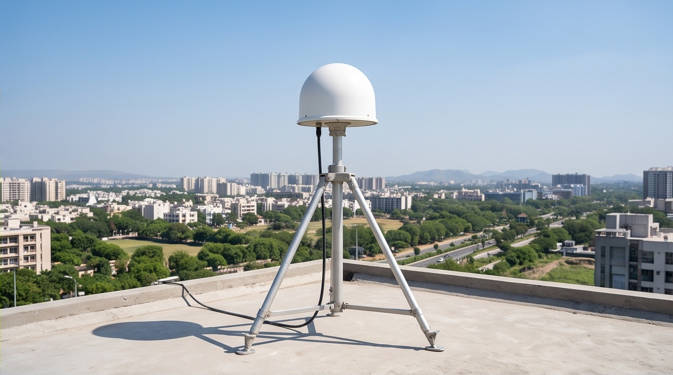
Baseline Distance Calculator for CORS / NTRIP Base Stations
Mark your project point, add a base station, and see the baseline distance and accuracy effect instantly.
Baseline Distance and Estimated Accuracy Impact
| Base Station | Type | Baseline (km) | Added Uncertainty | Est. Total Horiz. Uncertainty | Relative Degradation |
|---|---|---|---|---|---|
Set a project point and add at least one base station to see baseline distance results here. | |||||
How Baseline Distance Changes RTK and DGPS Accuracy
Baseline distance, the straight-line gap between your rover and the base station feeding it corrections, is one of the quieter sources of error in any DGPS RTK Survey. Every extra kilometre between the two adds roughly 1 part per million of horizontal uncertainty, a rule surveyors use for quick field planning, not a lab-grade guarantee. Stack that on top of a typical 1 to 2 cm fixed-solution floor at short range, and a rover working 40 km from its correction source can be carrying 4 to 5 cm of geometry-driven drift before receiver noise, multipath, or ionospheric conditions even enter the picture.
Distance from the base station is a cost you pay before your receiver even starts averaging fixes.
Local Base Station or CORS/NTRIP Network: Weighing Baseline Distance Against Setup Time
Running your own base near the site keeps baseline distance short, often under 2 km, at the cost of an hour or two of setup, a known control point, and someone minding the equipment. A CORS/NTRIP subscription skips that setup entirely and streams corrections the moment you power on, but the nearest live station could sit well past the range where the 1 ppm rule starts to bite, especially for tight-tolerance topography control or structural layout. For boundary or reconnaissance-grade work, a longer baseline is rarely a problem worth solving. For millimetre-sensitive layout, a short local base is usually the safer call.