Aerial Mapping for Real Estate: How Drones Sell Land Faster
A developer once told us that buyers spent an average of forty seconds looking at a flat site plan before asking the same three questions every time: how big is it really, what does the access road look like, and can I see the whole plot at once. An aerial map answers all three before the buyer even has to ask.
Ground-level photos and static site plans leave gaps a serious buyer notices immediately. Aerial mapping fills those gaps with an orthomosaic image, accurate boundary overlay, and often a 360-degree walkthrough, giving buyers the full context a brochure never could.
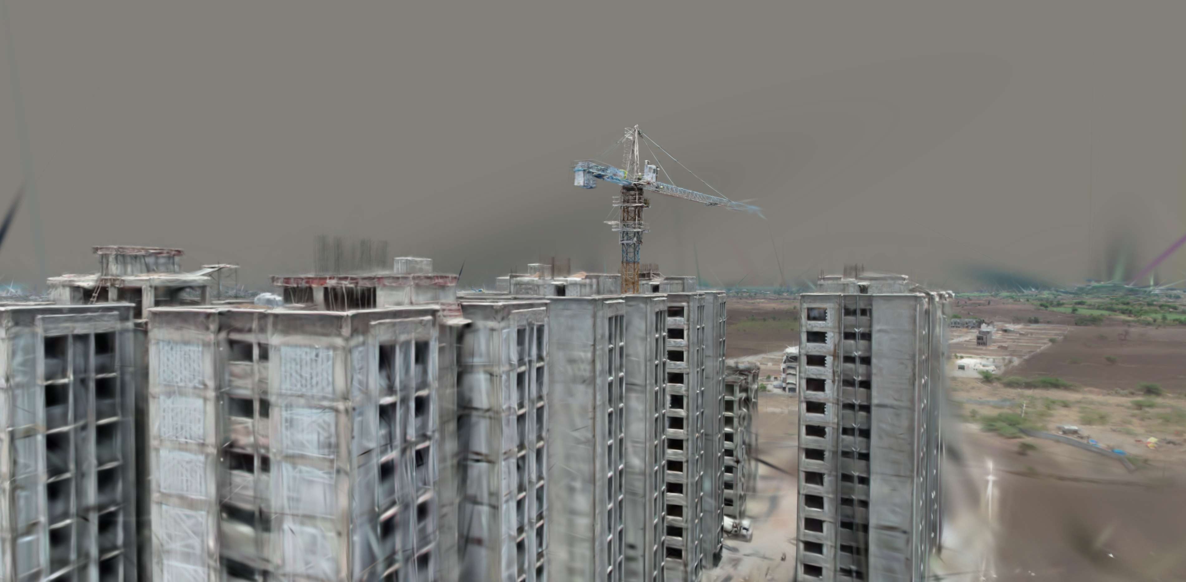
See the Plot the Way a Buyer Does From the Air
Aerial Reveal Flythrough
Drag to Compare: Site Plan vs Aerial Map
Static Site Plan vs Aerial-Mapped Listing
Watch Buyer Interest Build With Better Visuals
Listing Engagement Simulator
What Aerial Mapping Adds to a Listing
Orthomosaic Overview
A single, accurate top-down image of the entire plot, giving buyers true scale and shape at a glance.
Boundary Overlay
Survey-accurate boundary lines layered directly onto the aerial image remove ambiguity about exact plot limits.
Access & Context Shots
Aerial imagery shows the approach road, neighboring development, and surrounding context a ground photo cannot capture.
360° Walkthrough (Optional)
Immersive imagery lets remote buyers explore the site virtually before committing to an in-person visit.
Buyers evaluating land remotely, a common scenario for NRI and out-of-city investors, rely heavily on aerial context to judge a plot honestly. A flat site plan simply cannot answer "what does this actually look like" the way mapped imagery can.
A buyer who can see the whole plot clearly asks fewer questions and makes decisions faster.
How This Fits Into a Listing Strategy
Our drone survey team delivers both the marketing-ready orthomosaic and the underlying survey-accurate boundary data developers need for legal documentation, so the same flight serves two purposes. Where topographic detail matters, such as showing usable buildable area on a sloped plot, that data can be layered into the same aerial package.
Selling land or plots and want listings that convert faster?
Ask us about aerial mapping packages built specifically for real estate marketing.
Frequently Asked Questions
It gives buyers a complete, accurate view of the entire plot at once, answering scale, boundary, and access questions that static photos or site plans cannot.
Typical deliverables include an orthomosaic overview, boundary overlay, access road context imagery, and optionally 360-degree walkthrough imagery.
Yes, remote buyers who cannot easily visit a site in person rely heavily on aerial imagery to evaluate a plot's shape, scale, and surroundings before committing.
Yes, when captured with proper ground control points, the same aerial data used for marketing can also support survey-accurate boundary documentation.
Most residential or small commercial plots can be flown and mapped within a single day, with imagery ready for marketing use shortly after processing.
It is immersive imagery that lets a viewer virtually look around the site from multiple angles, simulating an in-person visit remotely.
Yes, aerial mapping scales well to large parcels, actually becoming more valuable as plot size increases since ground-level photos struggle to convey scale on bigger sites.
Yes, when paired with topographic survey data, aerial imagery can be layered with elevation information to visually indicate usable buildable area.
Not necessarily. A single, properly planned drone flight with ground control points can produce both marketing-ready imagery and survey-accurate boundary data.
Cost varies by plot size and deliverable scope, generally following standard drone survey per-acre pricing with an added cost for marketing-ready image processing.
This line is reserved for project leads. Please do not contact for learning, training, or job inquiries.