Airborne LiDAR Bathymetry: Mapping Water From the Sky
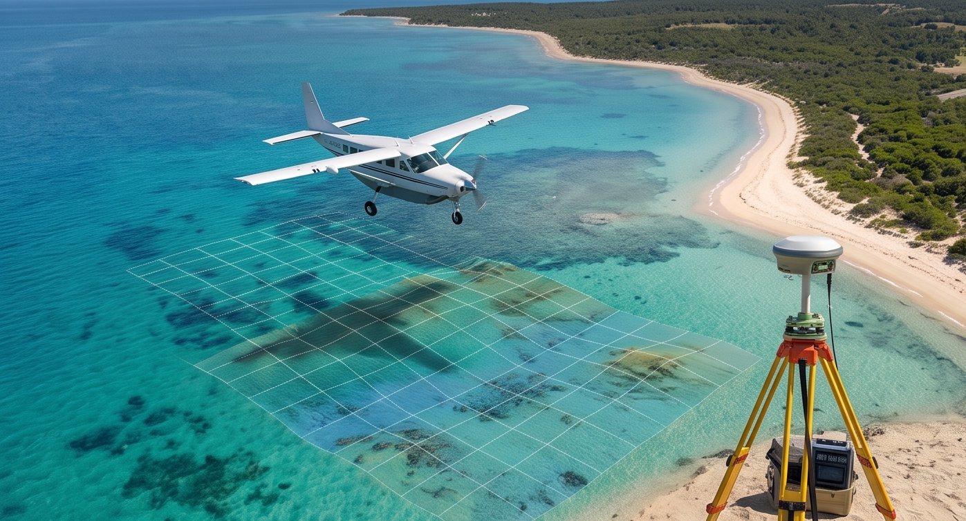
Sonar needs a vessel in the water, but airborne LiDAR bathymetry maps depth from an aircraft or drone entirely from above. It uses a specific wavelength of green laser light that penetrates clear water, letting the same flight capture both dry land and shallow underwater terrain simultaneously.
This dual capability makes it uniquely valuable for coastal zones, where the transition between land and water is exactly what most survey methods struggle to capture in a single consistent dataset.
Watch Green Laser Light Penetrate Water
Live Light Penetration Simulation
See How Water Clarity Affects Depth Range
Interactive Turbidity Explorer
Explore the Coastal Transition
Click Along the Coastline
How Airborne LiDAR Bathymetry Works
Dual wavelength sensor
The system fires both infrared pulses for land surfaces and green pulses that penetrate clear water.
Water surface detection
The infrared return marks the exact water surface elevation, establishing the starting point for depth calculation.
Seabed return capture
The green pulse continues through the water column and reflects off the seabed, recording a second return.
Refraction correction
Light bends as it enters water, so software applies refraction correction to calculate true depth accurately.
Combined terrain model
Land elevation and water depth data merge into one continuous terrain model spanning the coastal transition.
Airborne LiDAR bathymetry works best in clear water with low turbidity. Sediment-laden or murky water scatters the green laser light, significantly reducing effective depth penetration compared to sonar-based methods.
Sonar needs to be in the water to measure it. Airborne LiDAR bathymetry measures the water from above, along with everything beside it.
Where Airborne Bathymetry Excels
Coastal zone mapping, shallow reef surveys, and projects needing combined land-water terrain models benefit most from this dual-capability approach. Our drone survey team evaluates water clarity and project needs before recommending airborne LiDAR versus sonar-based bathymetric methods.
Have a coastal or shallow water project?
Tell us your site conditions and we will recommend the right bathymetric approach.
Frequently Asked Questions
It is a survey method using green laser light from an aircraft or drone to map underwater depth in shallow, clear water alongside adjacent land elevation.
Green wavelength light penetrates clear water effectively, while infrared light used for land LiDAR is absorbed at the water surface.
Yes, murky or turbid water scatters the green laser light, significantly reducing how deep the system can effectively measure.
Yes, this is one of its key advantages, capturing a single continuous terrain model spanning the transition between land and shallow water.
For clear shallow coastal water needing combined land-water data, airborne LiDAR often outperforms sonar, though sonar remains better for deeper or turbid water.
Light bends as it enters water at an angle, so software applies a correction factor to calculate the true depth from the apparent laser return.
Effective depth depends heavily on water clarity, with clear water allowing significantly deeper penetration than turbid or sediment-laden water.
Coastal zone management, shallow reef mapping, and combined land-water infrastructure projects commonly benefit from this survey method.
Both platforms are used, with aircraft typically covering larger coastal areas and drones offering more targeted, lower-altitude shallow water surveys.
Yes, ground control points on land and known water level references help verify and anchor the combined dataset to survey-grade accuracy.
This line is reserved for project leads. Please do not contact for learning, training, or job inquiries.