كيفية إجراء مسح نهري لمشروع إنشاء جسر
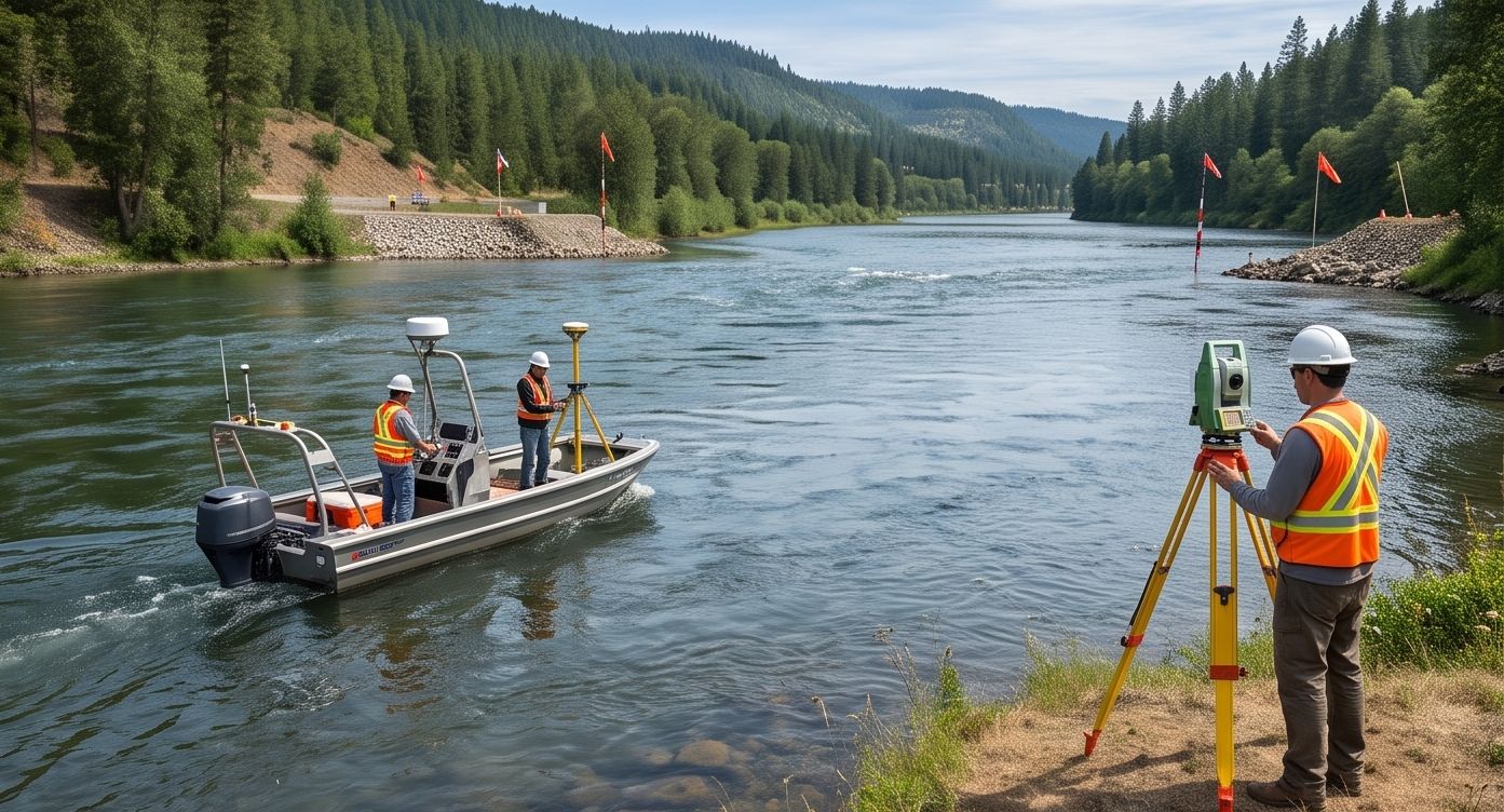
يحتاج مهندسو الجسور إلى ما هو أكثر بكثير من مجرد خريطة أعماق بسيطة قبل تصميم الأساسات. يجب أن يلتقط المسح النهري لمشروع الجسر شكل القناة، وخصائص التدفق، وكيف من المحتمل أن يتغير قاع النهر بمجرد وضع الدعامات في الماء.
إذا أخطأت في هذا التقدير، فإن العواقب تكون هيكلية وكارثية وليست مجرد شكلية. يُعد نحر قاع النهر حول دعامات الجسر (Scour) أحد الأسباب الرئيسية لانهيار الجسور حول العالم، ويبدأ ذلك من الاستهانة بالسلوك الفعلي للنهر في ذلك الموقع.
شاهد تشكل حفرة النحر حول الدعامة
محاكاة المباشرة لتشكل النحر
شاهد كيف تؤثر معدلات التدفق على النحر
حاسبة عمق النحر التفاعلية
افحص المقطع العرضي للنهر
انقر على طول النهر للفحص
ما يجب أن يتضمنه المسح النهري للجسر
مسح الأعماق الكامل للقناة
رسم خرائط العمق الكاملة عبر عرض النهر، وليس فقط عند نقطة العبور المقترحة، يلتقط الشكل الكامل للقناة.
قياس سرعة التدفق
تفيد سرعة التيار عند الأعماق والمواقع المختلفة في التنبؤ بالنحر وحسابات تصميم الأساسات.
تقييم مواد قاع النهر
يوضح نوع الرواسب ومدى تماسكها مدى عرضة القاع للتآكل حول مواقع الدعامات المقترحة.
مراجعة بيانات التدفق التاريخية
تساعد مستويات الفيضانات الموسمية والسجلات التاريخية المهندسين على التصميم لأسوأ الحالات.
التنبؤ بعمق النحر
دمج بيانات التدفق ومواد قاع النهر وتصميم الدعامة ينتج عنه تقدير لعمق النحر يحدد عمق الأساس.
التغيرات الموسمية لها أهمية بالغة في مسوحات الأنهار. مسح موسم الجفاف وحده يمكن أن يقلل بشكل كبير من تقدير سرعة التدفق ومخاطر النحر أثناء ظروف فيضان الموسم المطير.
الجسر لا ينهار بسبب المياه التي يراها كل يوم. إنه ينهار بسبب الفيضان الذي لم يُصمم لتحمله.
احصل على بيانات مسح نهري جاهزة لتصميم الجسور
يوفر مسح الأعماق الكامل للقناة المدمج مع بيانات التدفق والمواد للمهندسين ما يحتاجونه بالفعل لتصميم أساسات آمنة. يقوم فريق المسح بالطائرات المسيرة لدينا بإجراء مسوحات الأعماق الكاملة للجسور ومشاريع البنية التحتية عبر الأنهار.
هل تخطط لمشروع عبور جسر نهري؟
أخبرنا عن موقع النهر الخاص بك وسنعرض عليك منهجيتنا في مسح الأعماق.
الأسئلة الشائعة (FAQ)
النحر هو تآكل مادة قاع النهر حول دعامات الجسر بسبب تدفق المياه، وهو سبب رئيسي لانهيار الجسور.
يكشف مسح الأعماق الكامل عن الشكل الكلي للنهر وأنماط التدفق التي تؤثر على مخاطر النحر.
نعم، تزيد سرعة التدفق العالية من احتمالية النحر حول الدعامات.
نعم، قد تؤدي مسوحات موسم الجفاف إلى الاستهانة بسرعات التدفق في موسم الفيضان.
قوارب المسح أو المركبات غير المأهولة (USV) المجهزة بالسونار ونظام GPS ومقاييس التدفق.
نعم، الرواسب المفككة أكثر عرضة للتآكل مقارنة بالصخور أو القاع المتماسك.
تتضمن الحسابات تقدير عمق النحر كبهامش أمان لضمان استقرار الدعامة.
نعم، تُستخدم منصات USV المزودة بالسونار بشكل واسع في الأنهار الضحلة.
خريطة الأعماق الكاملة للقناة، وبيانات سرعة التدفق، وتقارير تقييم مخاطر النحر.
تساعد المسوحات الدورية، خاصة بعد الفيضانات الكبيرة، في مراقبة تطور النحر وتوجيه الصيانة.
هذا الخط مخصص لمديري المشاريع فقط. يرجى عدم الاتصال للاستفسارات التدريبية أو الوظيفية.