Best GIS Data Collection Apps for Field Teams in 2026
Choosing a GIS data collection app in 2026 depends far less on which brand name sounds most familiar and far more on matching specific features to how your field team actually works. Offline capability, form customization, and photo geotagging matter differently depending on project type.
The market has matured to the point where nearly every serious app offers basic point, line, and polygon collection with GPS tagging. The differences that matter now are in workflow efficiency, offline reliability, and how easily collected data flows into your existing GIS environment.
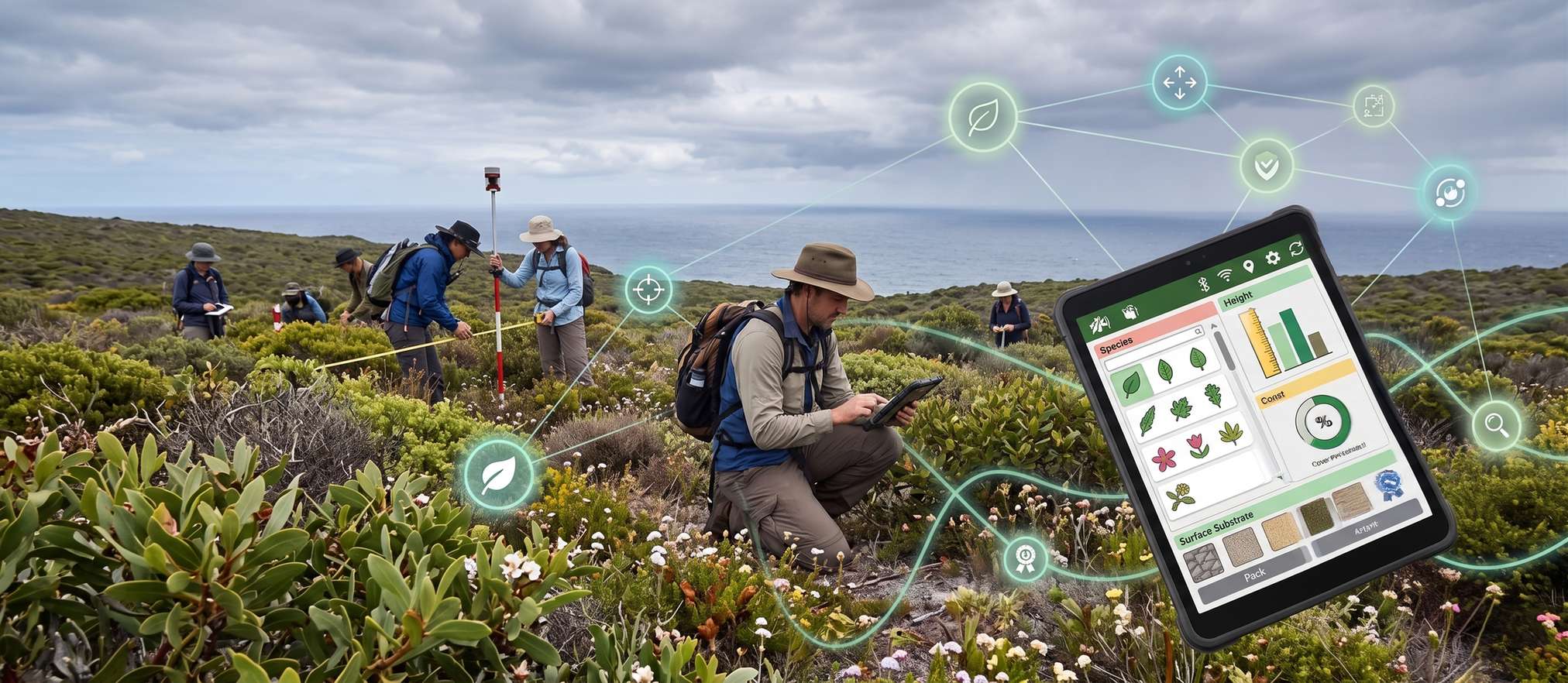
Watch Field Data Sync to the Cloud
Live Field-to-Office Sync Simulation
Find Features That Match Your Priorities
Interactive Feature Matcher
Compare Offline vs Online Workflows
Connectivity Reliability Simulator
What to Prioritize When Choosing
Offline data collection
Reliable offline capability is essential for remote field sites with poor or no internet connectivity.
Custom form flexibility
The ability to build project-specific data collection forms saves significant time versus generic point collection.
Photo and media attachment
Geotagged photo capture directly within the app streamlines documentation without separate file management.
GIS platform integration
Easy export or direct sync into your existing GIS software avoids painful manual data conversion steps.
Team collaboration features
Multi-user sync and real-time visibility into field progress matter significantly for larger survey teams.
The most expensive app is not always the best fit. A smaller team collecting simple point data may find a lightweight, focused app more efficient than a full enterprise GIS platform with features they will never use.
The best field app is not the one with the most features. It is the one your team will actually use correctly every day.
Choosing the Right App for Your Workflow
Matching app capabilities to actual field conditions and team size matters more than any single feature checklist. Our GIS mapping team advises clients on data collection workflows tailored to their GIS mapping project requirements and field conditions.
Not sure which GIS workflow fits your team?
Tell us about your project and field conditions and we will recommend an approach.
Frequently Asked Questions
Reliable offline capability is typically the most critical feature, since many field survey sites lack consistent internet connectivity.
Most modern GIS apps support custom form building, though the flexibility and ease of setup vary significantly between platforms.
The app captures a photo along with the device's GPS location, automatically attaching coordinates to the image for mapping and documentation purposes.
Most established apps support export or direct sync into common GIS platforms, reducing the need for manual data conversion.
For simple point collection needs, a lightweight focused app can be more efficient than a full enterprise platform with unused features.
Many apps support Bluetooth connection to external RTK-capable GNSS receivers, upgrading accuracy well beyond built-in device GPS.
Multi-user sync features allow team members to see each other's collected data in near real time, useful for coordinating larger field surveys.
Data is stored locally on the device and automatically uploads to the central database once internet connectivity becomes available again.
Yes, custom forms and attribute tracking make these apps well suited for detailed utility asset mapping and inspection workflows.
Matching features to actual project needs first, then comparing cost among suitable options, typically leads to a better long-term choice.
This line is reserved for project leads. Please do not contact for learning, training, or job inquiries.