CORS Network in India: RTK Without a Base Station
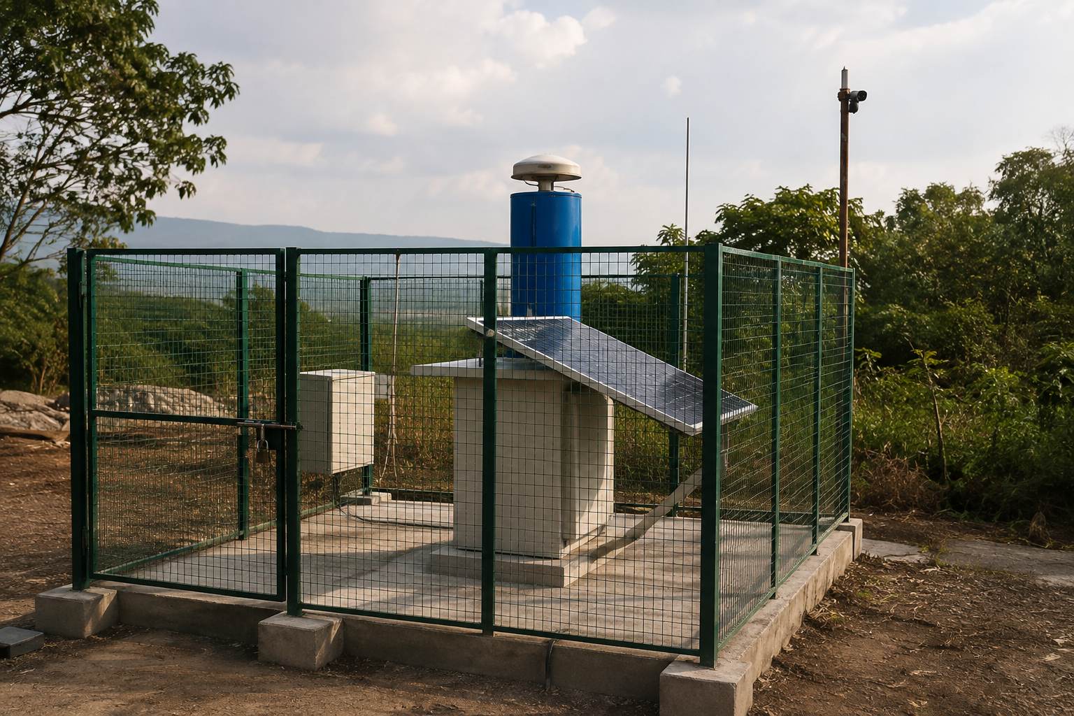
Setting up a dedicated RTK base station for every survey is time-consuming and logistically demanding. CORS, short for Continuously Operating Reference Stations, solves this by maintaining a permanent network of fixed receivers that broadcast correction data over the internet.
Instead of hauling and calibrating your own base station, a rover connects to the nearest CORS station via internet using NTRIP protocol, and receives the same real-time correction data a local base would provide.
Watch the CORS Network Serve Multiple Rovers
Live Network Correction Simulation
Compare Correction Delivery Methods
Interactive Latency Comparison
Test Coverage Distance
Click to Test Your Survey Location
How CORS Networks Work
Permanent station installation
Fixed GNSS receivers are installed at precisely surveyed locations and operate continuously around the clock.
Continuous correction generation
Each station continuously calculates and generates correction data based on incoming satellite signals.
Internet data distribution
Correction data streams through the internet using NTRIP protocol, accessible to any authorized rover in range.
Rover subscription and connection
Survey teams connect their rover receivers to the network via mobile data, receiving live corrections in the field.
Centimeter-accurate positioning
The rover applies received corrections to achieve the same accuracy a dedicated local base station would provide.
CORS networks depend on reliable internet connectivity in the field, which can be a limitation in remote areas with poor mobile coverage. In such cases, a traditional local base station remains a more reliable option.
CORS turns RTK infrastructure from something you carry into something you connect to.
Using CORS for Your Survey Project
Reliable internet coverage and proximity to network stations determine whether CORS is the right fit for a given project. Our DGPS survey team evaluates connectivity and coverage before choosing between CORS-based and traditional base station GIS mapping workflows.
Curious whether CORS fits your project location?
Tell us your survey site and we will check network coverage and connectivity options.
Frequently Asked Questions
CORS stands for Continuously Operating Reference Station, a permanent GNSS receiver network that provides RTK correction data over the internet.
CORS is a permanent, always-on network accessed via internet, while a traditional base station is set up temporarily at each survey site.
NTRIP is the internet protocol used to stream real-time RTK correction data from CORS stations to rover receivers in the field.
Yes, CORS correction data is delivered over the internet, making reliable mobile data connectivity essential for using the network effectively.
In areas with unreliable internet, a traditional local base station with radio correction remains a more dependable positioning option.
Yes, unlike a dedicated local base station, CORS infrastructure is designed to serve many rover users across a coverage area at the same time.
Under good conditions and reasonable proximity to a station, CORS delivers comparable centimeter-level accuracy to a traditional local base station.
CORS infrastructure in India is maintained by a combination of government agencies and private survey technology providers operating regional networks.
CORS improves positioning accuracy but ground control points remain valuable for verification and anchoring survey data to required accuracy standards.
Suitability depends on mobile internet coverage at the site, since CORS requires connectivity that may be limited in very remote rural areas.
This line is reserved for project leads. Please do not contact for learning, training, or job inquiries.