Contour Interval Visualizer
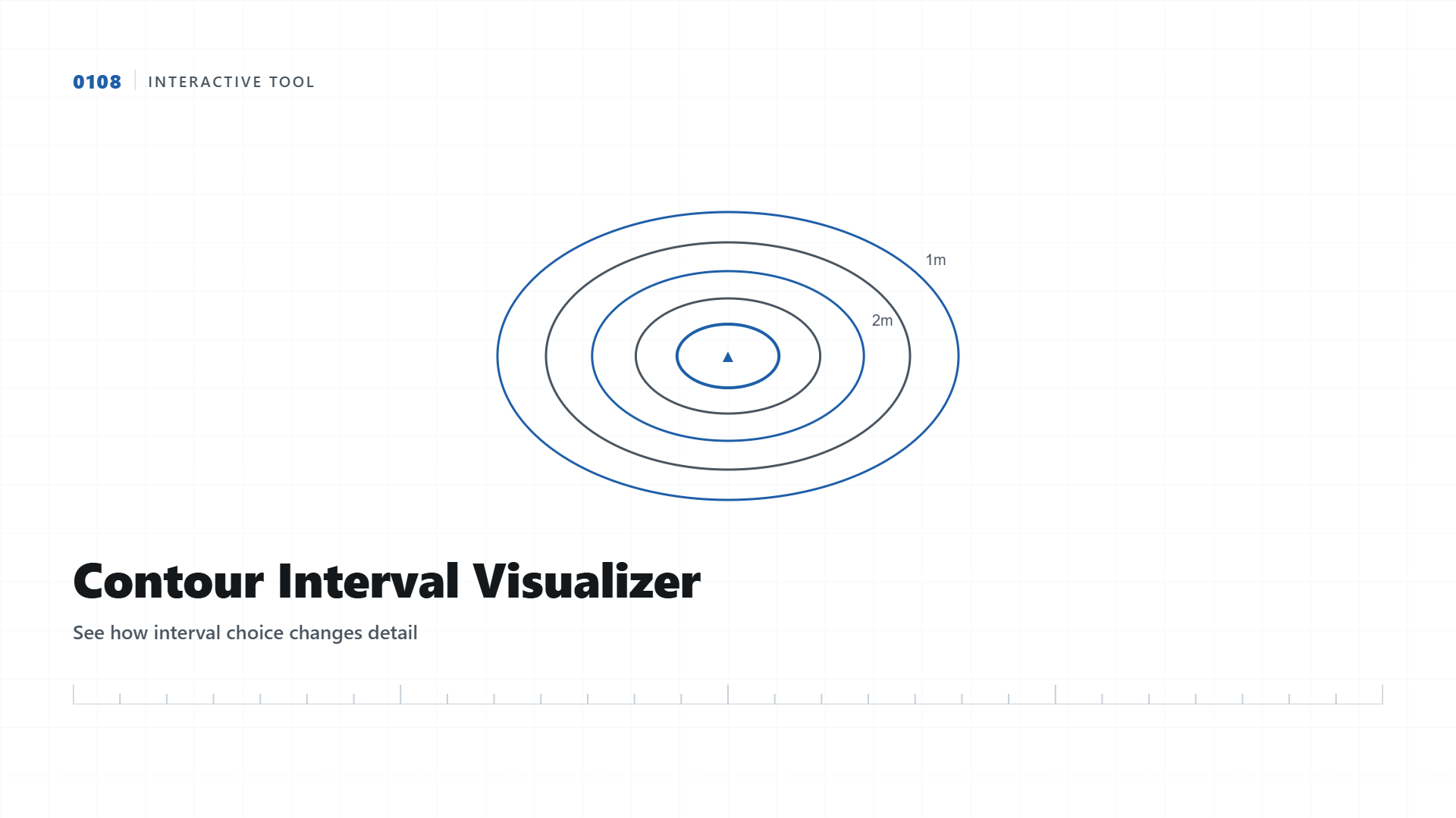
The same terrain looks completely different depending on the interval you choose. Drag the slider and watch the detail change in real time.
A contour map is only as useful as the interval it is drawn at. Too coarse an interval and you miss the subtle grade changes that determine drainage direction. Too fine an interval on a large flat site and the map becomes cluttered and expensive to produce for no added value. This tool generates a synthetic terrain surface and redraws its contours live as you change the interval, so you can see the trade-off directly instead of reading about it in the abstract.
How to Read This
As you move the interval smaller, more lines appear because the map now captures smaller elevation changes. This is exactly what happens on a real contour survey: a 0.5m interval on a gently sloping drainage channel reveals grade changes that a 5m interval would completely hide, while that same 0.5m interval on a steep hillside would produce so many overlapping lines the map becomes unreadable.
| Interval | Best Suited For |
|---|---|
| 0.25m to 0.5m | Drainage design, canal grading, flat-site earthwork |
| 1m | General construction sites, road design, most infrastructure projects |
| 2m | Moderate slope terrain, regional planning studies |
| 5m | Steep hillside or mountainous terrain, large area overview mapping |
Why Interval Choice Is a Design Decision, Not a Default
Survey software defaults to a standard interval, usually 1m, but the correct choice depends entirely on the slope and the intended use of the drawing. A solar park survey on flat ground benefits from a finer interval to catch the subtle grading needed for water runoff, while a mega aerial survey across mountainous terrain would be unreadable at anything finer than 5m.
Elevation data capture in progress, the raw input behind every contour interval choice.
Need Contours at the Right Interval for Your Site?
We recommend the correct interval based on your terrain and design purpose, not a one-size-fits-all default.
Get Quote on WhatsApp