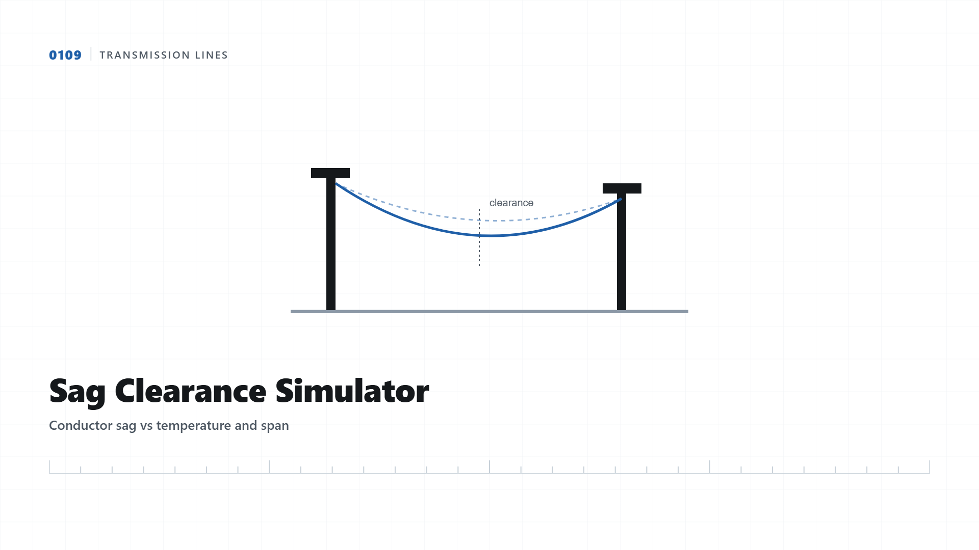
Transmission Line Sag Clearance Simulator
A conductor sags more as it heats up. See how span length and temperature change ground clearance, and why the ground survey data underneath it has to be exact.
A transmission conductor is never a straight line between two towers, it hangs in a catenary curve, and that curve gets lower as the conductor heats up under electrical load and ambient temperature. Every line design has a minimum ground clearance requirement that must hold even at maximum sag, at the hottest expected operating condition. This simulator shows that relationship directly: adjust span length and temperature, and watch the sag curve and clearance change.
Why "Ground Elevation Under Midspan" Is the Line Every Design Depends On
Notice the last slider in the tool. Sag is a physics calculation that any design software gets right, but it means nothing without knowing the actual ground elevation directly beneath the conductor's lowest point. This is exactly what a transmission line survey provides, a Digital Terrain Model of the corridor that tells the designer precisely how far above the ground the conductor will hang at every point along the span, not an assumed flat profile.
| Voltage Class | Minimum Ground Clearance |
|---|---|
| 11kV / 33kV | 4.6m |
| 132kV | 6.1m |
| 220kV | 7.0m |
| 400kV | 8.8m |
Terrain profile beneath a live span, exactly the data this simulator's ground slider represents.
Need Accurate Corridor Terrain Data?
We deliver full DTM and clearance profiles for transmission line corridors, including under forest canopy.
Get Quote on WhatsApp