ভারতে ড্রোন সার্ভে খরচ প্রতি একরে ২০২৬: সম্পূর্ণ রেট ব্রেকডাউন
গত বছর প্রায় একই আকারের প্লটের জন্য দুজন ভিন্ন ক্লায়েন্ট ড্রোন সার্ভের কোটেশন চেয়েছিলেন। একজনের প্রয়োজন ছিল সীমানা পরীক্ষার জন্য সাধারণ RGB ছবি। অন্যজনের একটি ইনফ্রাস্ট্রাকচার প্রজেক্টের জন্য বনাঞ্চলের নিচে ২ সেমির কম LiDAR ভার্টিক্যাল নির্ভুলতা দরকার ছিল। তাদের কোটেশনে প্রায় তিন গুণ পার্থক্য ছিল এবং দুটোই যুক্তিসঙ্গত ছিল, কারণ তাদের কাজের প্রয়োজন ছিল সম্পূর্ণ আলাদা।
২০২৬ সালে ভারতে প্রতি একরে ড্রোন সার্ভের খরচ মূলত আপনি কোন সেন্সর প্রযুক্তি ব্যবহার করছেন তার উপর নির্ভর করে: RGB ফটোগ্রামেট্রি নাকি LiDAR। এই দুটি প্রযুক্তির পার্থক্য না বুঝে কোটেশন নেওয়া ক্লায়েন্টদের অতিরিক্ত খরচ বা কম নির্ভুলতার প্রধান কারণ।
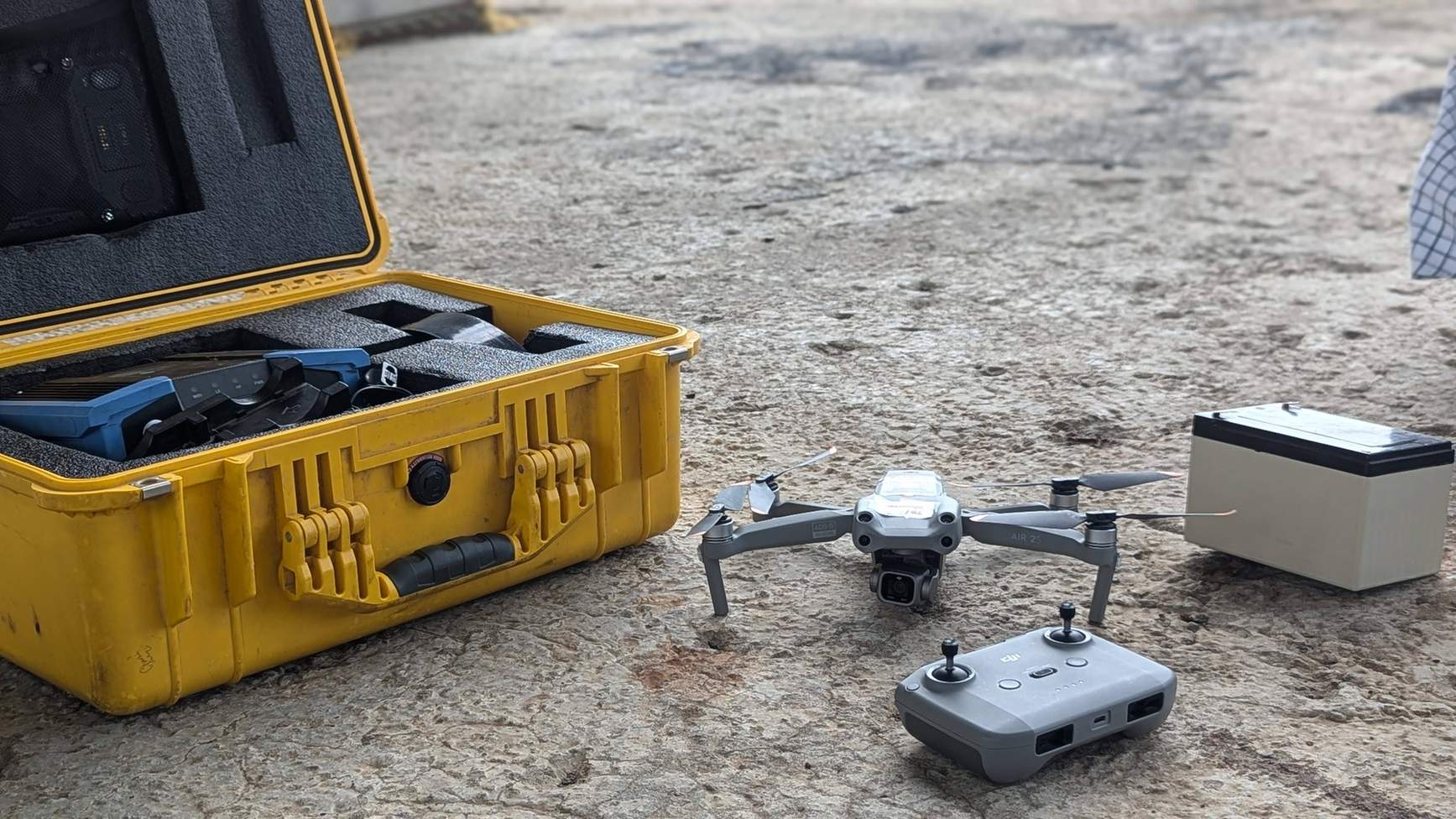
RGB বনাম LiDAR: আপনি আসলে কিসের জন্য মূল্য পরিশোধ করছেন
খরচ: প্রতি একরে ₹৫০০ থেকে ₹১,৫০০, ডেলিভারেবলসের উপর ভিত্তি করে ₹২,০০০ পর্যন্ত।
উপযুক্ত ক্ষেত্র: কম গাছপালাযুক্ত খোলা জমি, সাধারণ টপোগ্রাফি ম্যাপিং এবং অর্থোমোজাইক ছবি।
সীমাবদ্ধতা: গাছের পাতার ভেতর দিয়ে দেখতে পারে না; ঘন জঙ্গলে মাটির তলদেশের ডেটা পাওয়া যায় না।
খরচ: সাধারণত RGB-র চেয়ে ২ থেকে ৩ গুণ; ১০০ একর জমির জন্য প্রায় ₹৭০,০০০ থেকে ₹১,২০,০০০।
উপযুক্ত ক্ষেত্র: ঘন বনভূমি, পাহাড়ি এলাকা এবং যেখানে ২ সেমির কম ভার্টিক্যাল নির্ভুলতা প্রয়োজন।
বিশেষ সুবিধা: লেজার পালস গাছের পাতার ফাঁক দিয়ে প্রবেশ করে নিচের আসল মাটির নির্ভুল মডেল তৈরি করে।
ভূমির ধরন ও এলাকা অনুযায়ী খরচ
| বিষয় | খরচের উপর প্রভাব |
|---|---|
| সমতল ও খোলা কৃষি জমি (যেমন পাঞ্জাবের সমভূমি) | বেসলাইন রেট, সর্বাধিক সাশ্রয়ী ও দ্রুত সার্ভে |
| পাহাড়ি বা বনাঞ্চল (যেমন পশ্চিমঘাট পর্বতমালা) | সমতল ভূমির তুলনায় ৩০ থেকে ৪০ শতাংশ বেশি খরচ |
| ১,০০০ একরের কম এলাকা | স্বাভাবিক প্রতি একর হার প্রযোজ্য |
| ১,০০০ একরের বেশি এলাকা | কাস্টম ডিসকাউন্ট রেট, সাধারণত ৩০ থেকে ৫০ শতাংশ পর্যন্ত কম |
LiDAR সেন্সর হার্ডওয়্যার অত্যন্ত দামি, এর মাধ্যমে প্রাপ্ত ডেটা ফাইল অনেক বড় হয় এবং ডেটা প্রসেসিংয়ের জন্য বিশেষ সফটওয়্যার ও দক্ষ ইঞ্জিনিয়ারের প্রয়োজন হয়, তাই এর খরচ বেশি।
কখন RGB ফটোগ্রামেট্রি বেছে নেওয়া উচিত
কম গাছপালাযুক্ত খোলা জমির জন্য RGB ফটোগ্রামেট্রি LiDAR-এর প্রায় অর্ধেক খরচে পর্যাপ্ত নির্ভুলতা প্রদান করে। অধিকাংশ জমি উন্নয়ন, কৃষি ম্যাপিং এবং সাধারণ সীমানা নির্ধারণে LiDAR-এর প্রয়োজন হয় না, ফলে সেখানে LiDAR বেছে নেওয়া অপ্রয়োজনীয় খরচ।
কখন LiDAR-এর অতিরিক্ত খরচ যুক্তিযুক্ত
গাছপালায় ঢাকা জমি, বনাঞ্চল বা যেসব অবকাঠামো প্রকল্পে ২ সেমির নিচে উল্লম্ব নির্ভুলতা বাধ্যতামূলক, সেখানে LiDAR ব্যবহার করুন। আমাদের ড্রোন সার্ভে টিম ক্লায়েন্টের আসল প্রয়োজনীয়তা অনুসারে সেন্সর বাছাই করে এবং উচ্চমানের টপোগ্রাফিক ডেলিভারেবলস সরবরাহ করে।
একটি খোলা মাঠে LiDAR ব্যবহার করা মানে রক্তচাপ মাপার জন্য সার্জনকে ডাকার মতো। জমির ধরন বুঝে সঠিক প্রযুক্তি নির্বাচন করুন।
কোটেশন তুলনা করার আগে ড্রোন সার্ভেটি RGB নাকি LiDAR তা নিশ্চিত করুন। একই জমির জন্য তিন গুণ খরচের পার্থক্য সাধারণত সেন্সর প্রযুক্তির পার্থক্যের কারণে হয়।
আপনার সাইটের জন্য RGB নাকি LiDAR উপযুক্ত তা নিয়ে দ্বিধায় আছেন?
আপনার জমির ধরন এবং নির্ভুলতার প্রয়োজনীয়তা জানান, আমরা সঠিক সেন্সর ও স্বচ্ছ কোটেশন দেব।
সচরাচর জিজ্ঞাস্য প্রশ্নাবলী (FAQ)
RGB ফটোগ্রামেট্রিতে সাধারণত প্রতি একরে ₹৫০০ থেকে ₹১,৫০০ খরচ হয়, যেখানে LiDAR সার্ভের খরচ একই এলাকার জন্য প্রায় ২ থেকে ৩ গুণ বেশি।
LiDAR সেন্সর অত্যন্ত মূল্যবান হার্ডওয়্যার, প্রচুর ডেটা তৈরি করে এবং এর প্রক্রিয়াকরণে বিশেষ সফটওয়্যার ও প্রশিক্ষিত বিশেষজ্ঞ প্রয়োজন।
সাধারণত না। কম গাছপালাযুক্ত খোলা জমিতে RGB ফটোগ্রামেট্রি অনেক কম খরচে চমৎকার নির্ভুলতা প্রদান করে।
যখন জমিতে ঘন গাছপালা থাকে অথবা প্রকল্পে ২ সেমির নিচে অত্যন্ত নিখুঁত উচ্চতার ডেটা প্রয়োজন হয়।
হ্যাঁ, পাহাড়ি বা বনাঞ্চলে সমতল কৃষি জমির চেয়ে ৩০ থেকে ৪০ শতাংশ বেশি খরচ হতে পারে।
হ্যাঁ, ১,০০০ একরের বেশি বড় প্রজেক্টে প্রতি একরের হারে ৩০ থেকে ৫০ শতাংশ পর্যন্ত ভলিউম ডিসকাউন্ট পাওয়া যায়।
সব সময় নয়। GCP-এর খরচ অনেক সময় আলাদা থাকে, তাই DGPS সার্ভে করা কন্ট্রোল পয়েন্ট অন্তর্ভুক্ত আছে কিনা তা দেখে নিন।
১০০ একর জমির জন্য LiDAR সার্ভে সাধারণত ₹৭০,০০০ থেকে ₹১,২০,০০০ এর মধ্যে হয়।
হ্যাঁ, খোলা অংশের জন্য RGB এবং বনাঞ্চলের জন্য LiDAR ব্যবহার করে হাইব্রিড মডেলে খরচ অনেকটাই সাশ্রয় করা সম্ভব।
মূল্যের বড় পার্থক্যের কারণ হলো সেন্সর প্রযুক্তি (RGB বনাম LiDAR), ডেলিভারেবলসের গভীরতা এবং GCP কাজের অন্তর্ভুক্তি।
এই হোয়াটসঅ্যাপ নম্বরটি শুধুমাত্র নতুন প্রজেক্টের যোগাযোগের জন্য সংরক্ষিত। অনুগ্রহ করে প্রশিক্ষণ বা চাকরির জন্য মেসেজ করবেন না।