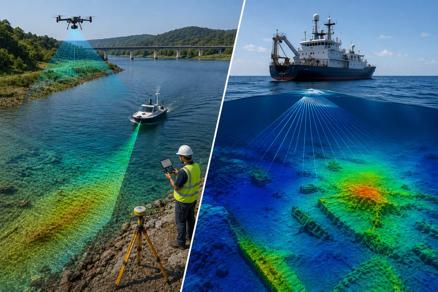
Hydrographic vs Bathymetric Survey: What's the Difference
People often use bathymetric and hydrographic survey interchangeably, but they are not quite the same thing. Bathymetry is specifically about measuring depth and underwater terrain shape. Hydrography is broader, covering everything needed for safe navigation and comprehensive water body characterization.
Think of bathymetry as one essential ingredient inside hydrography, alongside tides, currents, shoreline features, and navigational hazards. Every hydrographic survey includes bathymetric data, but not every bathymetric survey needs to be a full hydrographic study.
Visualize the Scope Overlap
Live Scope Comparison
Explore What Each Survey Includes
Interactive Scope Explorer
Which Survey Fits Your Project?
Click Your Use Case
Key Differences to Know
Bathymetry measures depth
The core output is a depth map or contour chart of the underwater terrain, nothing more.
Hydrography adds tides and currents
A full hydrographic survey incorporates tidal patterns and current data essential for navigation safety.
Hydrography includes shoreline features
Coastlines, hazards, and navigational aids are documented as part of a comprehensive hydrographic study.
Regulatory standards differ
Official nautical charting hydrographic surveys often follow strict international standards, while project bathymetry may not.
Project scope drives the choice
Engineering projects typically need bathymetry alone, while navigation charting requires full hydrographic surveying.
| Aspect | Bathymetric Survey | Hydrographic Survey |
|---|---|---|
| Primary output | Depth map | Navigation chart |
| Tides & currents | Not typically included | Included |
| Common use | Engineering, reservoirs | Marine navigation |
For most engineering projects like dredging, reservoir assessment, or bridge design, a focused bathymetric survey delivers exactly what is needed without the added scope and cost of a full hydrographic study.
Bathymetry tells you how deep the water is. Hydrography tells you everything a ship needs to know to get there safely.
Choosing the Right Survey for Your Project
Understanding this distinction helps you request exactly what your project needs, not more and not less. Our drone survey team scopes projects correctly from the start, whether that means focused bathymetric data or broader hydrographic requirements.
Not sure which survey type your project needs?
Tell us about your project and we will recommend the right scope.
Frequently Asked Questions
No, bathymetry measures depth and underwater terrain, while hydrography is broader, including tides, currents, and shoreline features for navigation.
Yes, bathymetric depth data is a core component of every hydrographic survey, though hydrography adds significantly more scope on top.
A focused bathymetric survey is typically sufficient for reservoir capacity assessment, since navigation-specific data is not required.
Official nautical charting hydrographic surveys often follow strict international standards, while project-specific bathymetry may not require the same rigor.
Generally yes, since hydrographic surveys cover a broader scope including tides, currents, and shoreline features beyond simple depth measurement.
Marine navigation charting, port development, and coastal engineering projects typically require the full scope of a hydrographic survey.
Additional data collection for tides, currents, and shoreline features can supplement existing bathymetric data to build toward hydrographic standards.
Dredging volume verification typically only requires focused bathymetric surveying, not the full navigational scope of hydrography.
Both use sonar for depth, but hydrographic surveys add tide gauges, current meters, and additional instrumentation for comprehensive data collection.
If your project needs depth data alone for engineering purposes, bathymetry suffices; if navigation safety is involved, full hydrography is likely required.
This line is reserved for project leads. Please do not contact for learning, training, or job inquiries.