CGRD LISP: Labeled Easting/Northing Coordinate Grid (Free AutoLISP Download)
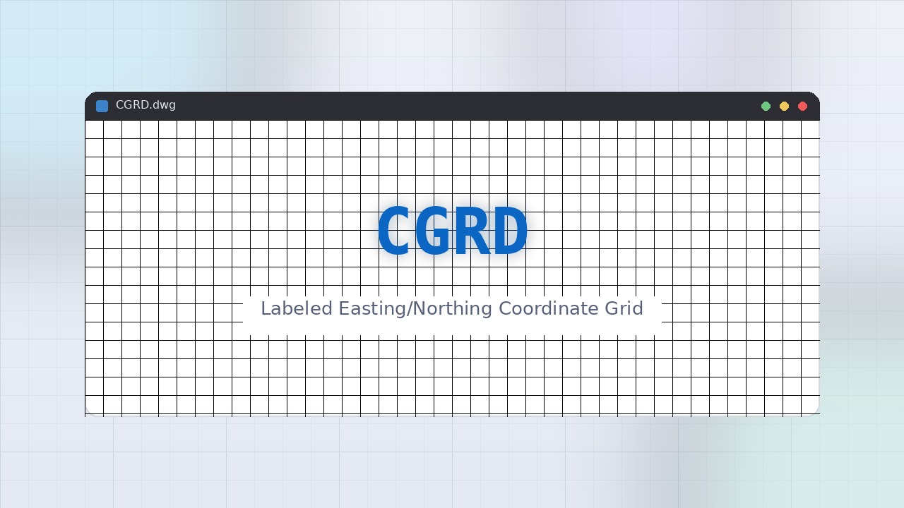
CGRD draws a complete Easting/Northing reference grid across a rectangular extent you define with two picked corners, at a spacing you choose. Column lines are labeled with an E #### prefix along the bottom, and row lines with an N #### prefix along the left edge, so anyone reading the drawing can gauge approximate coordinates at a glance.
COORDGRID-bgol (Labeled Easting/Northing Coordinate Grid)
Command Type: AutoLISP routine (works in AutoCAD, BricsCAD, ZWCAD and most AutoLISP-compatible CAD platforms)
Developed by: BGol Community, bgol.in
Inspired by the general concept of coordinate-grid overlay utilities used in land-survey drafting. This is an original, independently written routine, new file name, new command name, new source code, created so the CAD community has a free, editable, open-source alternative.
Overview
CGRD draws a complete Easting/Northing reference grid across a rectangular extent you define with two picked corners, at a spacing you choose. Column lines are labeled with an E #### prefix along the bottom, and row lines with an N #### prefix along the left edge, so anyone reading the drawing can gauge approximate coordinates at a glance.
How to Use
- Load
COORDGRID-bgol.lspinto your CAD session (drag-and-drop the file onto the drawing window, or use theAPPLOADcommand). - Type
CGRDat the command line and press Enter. - Pick the Lower left corner, then the Top right corner of the area you want the grid to cover (typically enclosing the survey boundary or drawing content).
- Enter the desired grid spacing.
- The routine rounds the extent outward to the nearest spacing multiple and draws the full set of vertical and horizontal grid lines, with Easting and Northing labels, on layer
BGOL-CGRD.
Why Use It
- One-command grid, produces a complete, correctly annotated coordinate grid instead of manually drawing dozens of lines and typing each label by hand.
- Consistent style, standardizes grid annotation with E/N prefixes matching common survey drafting conventions.
- Fits your content, extent is defined by two picked corners, so the grid can be sized to exactly cover the drawing's actual content.
- Readable without CAD, makes reading approximate coordinates off a printed or plotted drawing much easier, even for non-CAD reviewers.
Where to Use It
- Adding a coordinate reference grid to any survey base map, site plan, or boundary drawing.
- Preparing drawings for print/plot output where a visual coordinate grid improves readability for field crews or reviewers.
- Any land-survey deliverable that benefits from a labeled Easting/Northing grid overlay.
Notes
- Grid extents are rounded outward to the nearest multiple of the spacing value so lines land on clean round coordinates (matching common survey grid conventions like
N 4560,N 4550, etc.). - Text height for axis labels scales with the grid spacing so labels stay legible at different spacings.
- Source code is fully open, feel free to study, modify, and redistribute it under the same open, free-for-all spirit.
Credits
Developed and shared for the CAD community by BGol Community. Website: https://bgol.in/ Free and open-source, use it, modify it, share it, for personal or commercial work alike.
Frequently Asked Questions
CGRD is a standard AutoLISP routine, so it runs in AutoCAD, BricsCAD, ZWCAD, and most other AutoLISP-compatible CAD platforms without modification.
Grid extents are rounded outward to the nearest multiple of the spacing value so lines land on clean round coordinates (matching common survey grid conventions like N 4560, N 4550, etc.).
One-command grid, produces a complete, correctly annotated coordinate grid instead of manually drawing dozens of lines and typing each label by hand.
Yes. CGRD is fully open-source and free to use, modify, and redistribute for both personal and commercial work, developed and shared by the BGol Community.
Drag and drop COORDGRID-bgol.lsp onto your open drawing window, or load it through the APPLOAD command, then type CGRD at the command line to run it.
🤝 About BGol Community
BGol Community of Advanced Surveying builds and shares free, open-source tools for the survey and CAD drafting community.
🙌 Made with ❤️ by BGol Community of Advanced Surveying
Free, open-source, and built for the CAD community, for personal or commercial use, always.