ভারতে জমি জরিপ পদ্ধতি ২০২৬: ড্রোন, DGPS এবং টোটাল স্টেশনের তুলনা
সম্প্রতি এক ক্লায়েন্ট আমাদের মাত্র তিন দিনে ৪০ একর জমির জরিপ সম্পন্ন করতে অনুরোধ করেছিলেন। কেবল টোটাল স্টেশন ব্যবহার করলে পাঁচজনের একটি দলের কমপক্ষে দুই সপ্তাহ সময় লাগত। কিন্তু DGPS দ্বারা স্থাপিত গ্রাউন্ড কন্ট্রোল পয়েন্টসহ ড্রোন সার্ভের সাহায্যে আমরা মাত্র দুই দিনের উড্ডয়ন ও দুই দিনের ডেটা প্রক্রিয়াকরণে কাজটি নিখুঁতভাবে শেষ করি। বর্তমানে ভারতে জমি জরিপ দলের প্রধান লক্ষ্য এটি নয় যে কোন পদ্ধতিটি সেরা, বরং লক্ষ্য হলো কোন পদ্ধতিটি নির্দিষ্ট জমির জন্য সবচেয়ে কার্যকর।
ভারতে আধুনিক জমি জরিপ প্রধানত তিনটি মূল প্রযুক্তির উপর প্রতিষ্ঠিত: ঘন ও বাধাগ্রস্ত এলাকার জন্য টোটাল স্টেশন, উন্মুক্ত করিডোর ও সীমানা নির্ধারণের জন্য DGPS ও RTK, এবং সুবিশাল এলাকার জন্য ড্রোন ফটোগ্রামেট্রি বা LiDAR যেখানে দ্রুততা এবং বিস্তৃত কভারেজ সবচেয়ে গুরুত্বপূর্ণ। প্রতিটি পদ্ধতির নিজস্ব উপযোগিতা রয়েছে এবং কোনো একক পদ্ধতি অন্যটিকে সম্পূর্ণ প্রতিস্থাপন করতে পারে না।
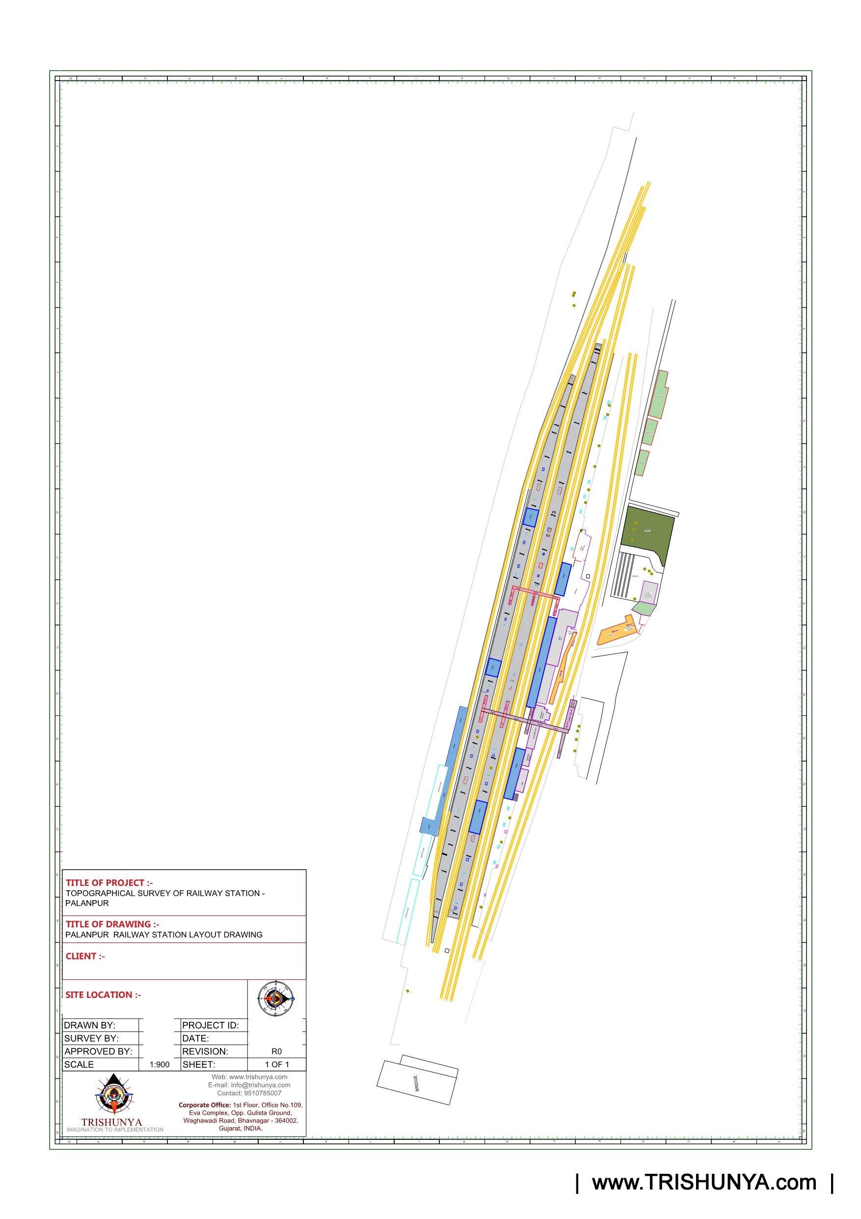
প্রতিটি জমি জরিপ পদ্ধতি আসলে কী পরিমাপ করে
টোটাল স্টেশন হলো একটি ভূমিভিত্তিক যন্ত্র যা রিফ্লেক্টিভ প্রিজমের মাধ্যমে প্রতিটি বিন্দুর কোণ এবং দূরত্ব বিন্দু-বিন্দু ধরে নিখুঁতভাবে পরিমাপ করে। এটি তুলনামূলক ধীরগতির হলেও স্বল্প দূরত্বে অত্যন্ত নির্ভুল এবং যেসব স্থানে স্যাটেলাইট সংকেত পৌঁছায় না, যেমন ঘন শহুরে এলাকা বা গাছের নিচে, সেখানে অপরিহার্য। DGPS এবং RTK পদ্ধতি একটি বেস স্টেশন থেকে স্যাটেলাইট সংশোধনী ডেটা গ্রহণ করে রোভারের অবস্থান সেন্টিমিটার বা মিলিমিটার নির্ভুলতায় নির্ধারণ করে, যা খোলা জমি ও সীমানা পিলারের জন্য আদর্শ। অন্যদিকে ড্রোন সার্ভে আকাশ থেকে লাখ লাখ ইমেজ বা LiDAR পয়েন্ট সংগ্রহ করে অতি দ্রুত সমগ্র এলাকার ডিজিটাল মানচিত্র তৈরি করে।
টোটাল স্টেশন: ঘনবসতিপূর্ণ শহুরে প্লট, অবকাঠামো এবং যেখানে আকাশের দৃশ্যমানতা কম।
Accuracy: প্রতিটি পরিমাপ করা বিন্দুতে মিলিমিটার-স্তরের নিখুঁত মান।
Trade-off: প্রতিটি বিন্দুতে সরলরেখায় দৃষ্টিসীমা (line-of-sight) প্রয়োজন; বড় বা ঝোপঝাড়যুক্ত জমিতে ধীরগতি।
DGPS / RTK: উন্মুক্ত প্রান্তর, রৈখিক করিডোর এবং সীমানা পিলার নির্ধারণ।
Accuracy: স্ট্যাটিক বা RTK মোডের উপর ভিত্তি করে সেন্টিমিটার থেকে মিলিমিটার স্তর পর্যন্ত।
Trade-off: পরিষ্কার আকাশের দৃশ্যমানতা দরকার; ঘন গাছের ছাউনি বা উঁচু ভবনের পাশে কার্যকারিতা কমে।
ড্রোন জরিপ: বিশাল আয়তনের জমি, করিডোর ম্যাপিং, ভূসংস্থান এবং ভলিউম পরিমাপ।
Accuracy: DGPS গ্রাউন্ড কন্ট্রোল পয়েন্ট (GCP) সহ ১ থেকে ৩ সেমি চরম নির্ভুলতা।
Trade-off: জরিপ-মানের নির্ভুলতার জন্য GCP বাধ্যতামূলক; আবহাওয়া ও আকাশসীমার নিয়ম প্রযোজ্য।
বিভিন্ন পদ্ধতির খরচ ও কার্যক্ষমতার তুলনা
| পদ্ধতি | সাধারণ কার্যক্ষমতা | সেরা ক্ষেত্র |
|---|---|---|
| টোটাল স্টেশন | সমতল জমিতে ৩-৫ কিমি/দিন | সংকীর্ণ ও বাধাগ্রস্ত স্থানে সর্বোচ্চ নির্ভুলতা |
| DGPS / RTK | উন্মুক্ত এলাকায় ৫-১০ কিমি/দিন | দ্রুত সীমানা নির্ধারণ ও করিডোর প্রকল্প |
| ড্রোন জরিপ | বড় এলাকার জন্য ১-২ দিনে সম্পূর্ণ সাইট | দ্রুত কভারেজ ও বিস্তৃত ভূসংস্থান সংক্রান্ত ডেটা |
কীভাবে পদ্ধতিগুলো একত্রিতভাবে কাজ করে
২০২৬ সালে সবচেয়ে সফল জরিপ প্রকল্পগুলো কেবল একটি পদ্ধতির উপর নির্ভর করে না। একটি টোটাল স্টেশন বা DGPS দল প্রথমে জমিতে জিওডেটিক নির্ভুলতাসহ গ্রাউন্ড কন্ট্রোল পয়েন্ট স্থাপন করে, এবং পরবর্তীতে ড্রোন ফ্লাইটের মাধ্যমে সেই পয়েন্টগুলোকে ভিত্তি করে সমগ্র এলাকায় জরিপ-মানের নির্ভুলতা ছড়িয়ে দেয়। বড় জমির জন্য drone survey এভাবেই পরিচালিত হয়: মাটিতে সুনির্দিষ্ট নোঙর এবং আকাশ থেকে সামগ্রিক কভারেজ।
সম্প্রতি একটি ৪০ একরের প্লটে, DGPS নিয়ন্ত্রিত মাত্র ৪টি গ্রাউন্ড কন্ট্রোল পয়েন্ট পুরো ড্রোন ফ্লাইটকে ৩ সেমি-র কম নির্ভুলতায় স্থির করেছে, যা একটি টোটাল স্টেশন দলের করতে প্রায় দুই সপ্তাহ সময় লাগত।
আপনার প্রকল্পের জন্য সঠিক পদ্ধতি কীভাবে নির্বাচন করবেন
প্রয়োজনীয় ফলাফল নির্ধারণ করুন
সীমানা নিশ্চিতকরণের জন্য DGPS বা টোটাল স্টেশন বেছে নিন। ভূসংস্থান মডেলিং ও বড় এলাকার জন্য ড্রোন উপযোগী।
জমির পরিবেশ পরীক্ষা করুন
ঘন গাছপালা বা উঁচু কাঠামো স্যাটেলাইট সিগন্যাল বাধাগ্রস্ত করে, সেক্ষেত্রে সেই অংশগুলোর জন্য টোটাল স্টেশন ব্যবহার করুন।
জমির আয়তনের সাথে পদ্ধতি মেলান
কয়েক একরের ছোট শহুরে প্লটের জন্য টোটাল স্টেশন যথেষ্ট। বড় উন্মুক্ত এলাকার জন্য DGPS-নিয়ন্ত্রিত ড্রোন সেরা।
গ্রাউন্ড কন্ট্রোলের বাজেট রাখুন
ড্রোন সার্ভেকে আইনি ও ইঞ্জিনিয়ারিং মানের করতে হলে DGPS গ্রাউন্ড কন্ট্রোল পয়েন্টের খরচ অন্তর্ভুক্ত রাখা আবশ্যক।
প্রশ্নটি ড্রোন, DGPS নাকি টোটাল স্টেশন তা নয়। মূল কথা হলো কোন সমন্বয়টি আপনার নির্দিষ্ট জমিকে নির্ধারিত সময়ে শতভাগ নির্ভুলভাবে পরিমাপ করবে।
যেসব প্রকল্পে নির্মিত কাঠামো এবং উন্মুক্ত জমি উভয়ই রয়েছে, সেখানে ড্রোন ফ্লাইটের topographic survey আউটপুটকে DGPS যাচাইকৃত পয়েন্টের সাথে সমন্বয় করাই এখন ভারতের অবকাঠামো উন্নয়নের মানদণ্ড।
সঠিকভাবে DGPS গ্রাউন্ড কন্ট্রোল পয়েন্ট ছাড়া পরিচালিত ড্রোন সার্ভে দেখতে সম্পূর্ণ মনে হলেও জরিপ-মানের পরীক্ষায় উত্তীর্ণ হয় না। ড্রোন ডেলিভারেবল গ্রহণের পূর্বে সর্বদা GCP পদ্ধতি নিশ্চিত করুন।
আপনার জমির জন্য কোন পদ্ধতিটি উপযুক্ত তা নিশ্চিত নন?
আপনার জমির আয়তন, ভূপ্রকৃতি এবং কাঙ্ক্ষিত আউটপুট আমাদের জানান, আমরা সঠিক সমন্বয় সুপারিশ করব।
Frequently Asked Questions
DGPS স্ট্যাটিক মোড এবং টোটাল স্টেশন উভয়ই প্রতিটি পরিমাপ করা বিন্দুতে মিলিমিটার স্তরের নির্ভুলতা প্রদান করে। DGPS কন্ট্রোল পয়েন্ট সহ ড্রোন সার্ভে সমগ্র সাইটে ১ থেকে ৩ সেমি নির্ভুলতা অর্জন করে।
বড় এলাকার ক্ষেত্রে হ্যাঁ। ২০ থেকে ৩০ একরের বেশি জমির ক্ষেত্রে ড্রোন সার্ভে টোটাল স্টেশনের তুলনায় ৫০ থেকে ৭০ শতাংশ পর্যন্ত সাশ্রয়ী হতে পারে, কারণ এতে ফিল্ড টাইম অনেক কম লাগে।
একা সম্ভব নয়। ড্রোন সার্ভেকে ইঞ্জিনিয়ারিং নির্ভুলতা দিতে DGPS পয়েন্টের প্রয়োজন হয়, তাই আইনি সীমানা নির্ধারণে দুটি পদ্ধতি পরস্পরের পরিপূরক হিসেবে কাজ করে।
ঘন শহুরে প্লট, ঘন গাছের নিচে বা উঁচু ভবনের পাশে যেখানে স্যাটেলাইট বা ড্রোনের দৃষ্টিসীমা বাধাগ্রস্ত হয়, সেখানে টোটাল স্টেশন এখনও সবচেয়ে নির্ভরযোগ্য।
ড্রোন টিম ১-২ দিনের ফ্লাইট এবং কয়েক দিনের প্রসেসিংয়ে ৫০ একর শেষ করতে পারে, যেখানে টোটাল স্টেশন ক্রু-এর প্রায় ২ থেকে ৩ সপ্তাহ সময় লেগে যায়।
RTK বা রিয়েল-টাইম কাইনেমেটিক হলো DGPS-এর একটি আধুনিক রূপ যা পরবর্তীতে ডেটা প্রসেস করার বদলে ফিল্ডে তাৎক্ষণিকভাবে লাইভ সেন্টিমিটার-স্তরের সঠিক অবস্থান দেয়।
হ্যাঁ। সমতল ও খোলা জমি DGPS ও ড্রোনের জন্য উপযুক্ত। পাহাড়ি, ঘন গাছপালাযুক্ত বা সংকীর্ণ জমি টোটাল স্টেশনের সহায়তা দাবি করে।
ড্রোন ডেটা সীমানা নির্ধারণে সাহায্য করে, তবে আইনি স্বীকৃতির জন্য সরকারি রেকর্ড এবং DGPS বা টোটাল স্টেশন পরিমাপের যৌথ সমন্বয় প্রয়োজন।
গ্রাউন্ড কন্ট্রোল পয়েন্ট হলো DGPS দ্বারা স্থাপিত একটি সুনির্দিষ্ট রেফারেন্স মার্ক যা ড্রোনের বায়বীয় ছবিকে বাস্তব স্থানাঙ্কের সাথে নোঙর করে।
হ্যাঁ, এটি বর্তমানে স্ট্যান্ডার্ড প্র্যাকটিস: DGPS কন্ট্রোল পয়েন্ট তৈরি করে, ড্রোন পুরো এলাকা কভার করে এবং টোটাল স্টেশন ছায়াযুক্ত বা জটিল অংশগুলো পরিমাপ করে।
এই লাইনটি শুধুমাত্র প্রকল্পের অনুসন্ধানের জন্য সংরক্ষিত। প্রশিক্ষণ বা চাকরির জন্য যোগাযোগ করবেন না।