Home Blog What Is a Bathymetric Survey? A Complete Guide

What Is a Bathymetric Survey? A Complete Guide

🧮 2  |  🟢 2
31 Jan 2026 Trishunya Team
What Is a Bathymetric Survey? A Complete Guide
Bathymetric Surveying · Foundational Guide

What Is a Bathymetric Survey? A Complete Guide

📅 31 Jan 2026 ⏱ 3 min read 🏷 Underwater Mapping TI Trishunya India

A bathymetric survey measures the depth and shape of a water body's floor, whether that is a river, reservoir, lake, or coastal area. Where a topographic survey maps dry land, bathymetry maps what lies beneath the surface of the water.

The core tool is sonar. A transducer sends sound pulses down through the water, times how long they take to bounce back off the bottom, and converts that into precise depth measurements across the entire surveyed area.

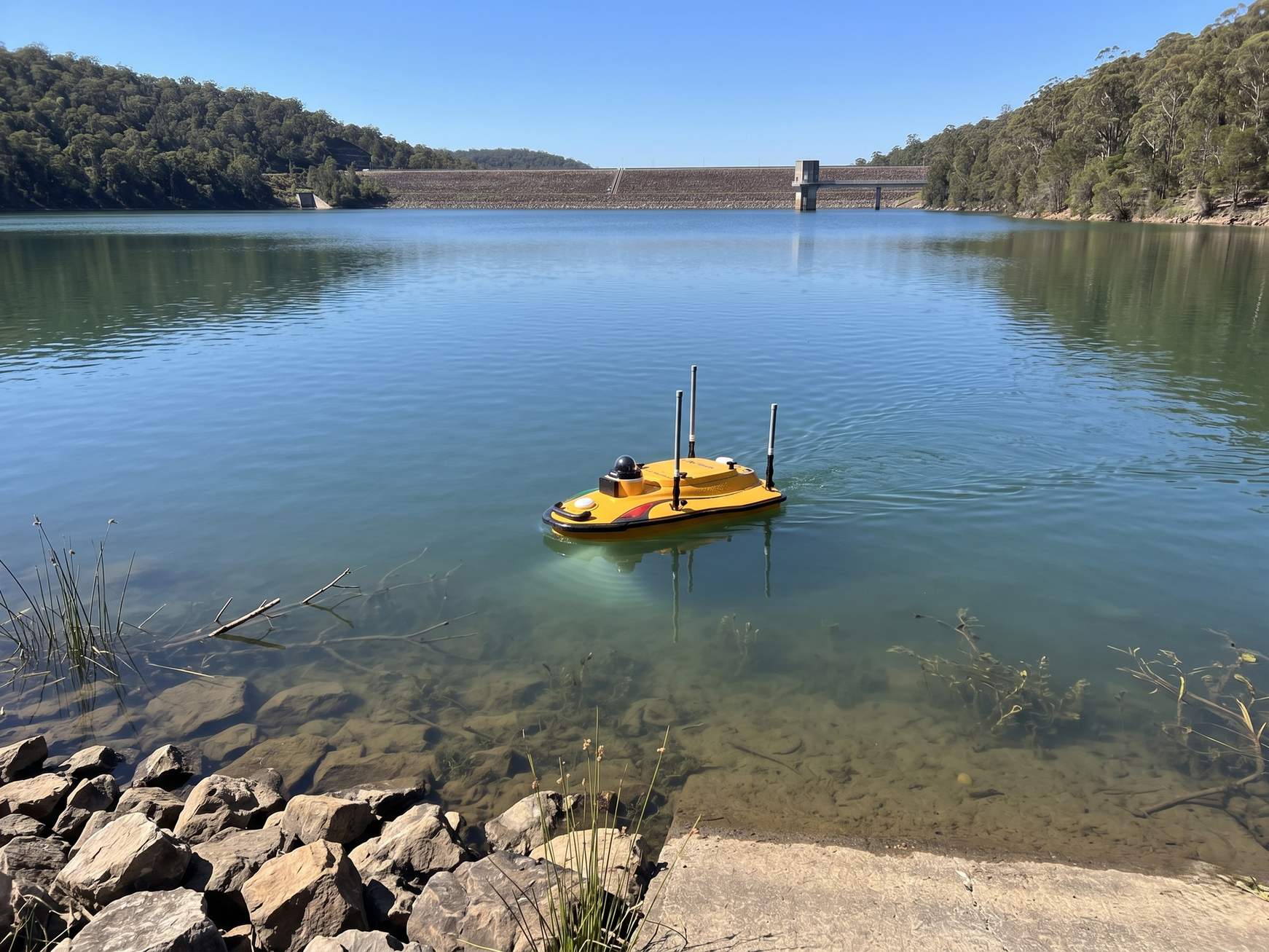
What is a bathymetric survey underwater depth mapping
Bathymetric surveys use sonar to measure underwater depth and terrain shape.
Sonar
Core measurement technology
cm-level
Achievable depth accuracy
Rivers, Dams, Coasts
Common applications

Watch a Sonar Sweep Reveal the Bottom

Live Sonar Depth Mapping

A survey vessel moves across the water, its sonar beam revealing the underwater terrain profile point by point.
Each pass builds a more complete picture of the underwater surface.

Try It: Ping the Bottom Yourself

Depth Measurement Simulator

Click anywhere on the water surface to send a sonar ping and see the calculated depth to the bottom.

Build a Depth Contour Map

Contour Density Simulator

Drag the slider to see how sonar ping density affects the resolution of the final depth contour map.
45% density

How Bathymetric Surveying Works

1

Vessel or drone deployment

A survey boat or unmanned surface vehicle carries the sonar transducer across the planned survey lines.

2

Sonar pulse emission

The transducer sends sound pulses downward continuously as the vessel moves along each line.

3

Return time measurement

Each pulse's return time is measured and converted to depth using the known speed of sound in water.

4

GPS positioning

Precise GPS tracks the vessel's position for every depth reading, tying measurements to real world coordinates.

5

Contour map generation

Thousands of depth points combine into a contour map showing the underwater terrain shape.

The speed of sound in water varies with temperature and salinity, so accurate bathymetric surveys calibrate sound velocity at the survey site to keep depth measurements precise.

A bathymetric survey does not guess what is underwater. It measures it, one sonar ping at a time.

Where Bathymetry Is Used

Reservoir capacity studies, river surveys for bridge design, and dredging volume calculations all depend on accurate underwater depth data. Our drone survey team deploys sonar-equipped vessels for bathymetric mapping projects across rivers, reservoirs, and coastal sites.

Have a water body that needs mapping?

Tell us your site type and we will explain exactly what a bathymetric survey would capture.

Frequently Asked Questions

Bathymetric surveys measure underwater depth and terrain shape, used for reservoir capacity studies, river mapping, dredging, and coastal engineering projects.

Sonar sends sound pulses downward and measures the time taken for the pulse to reflect off the bottom and return, converting that into precise depth.

Topography maps the shape of dry land, while bathymetry maps the shape of the floor beneath a water body using sonar instead of visual or laser methods.

Yes, the speed of sound in water varies with temperature and salinity, so accurate surveys calibrate sound velocity at the survey site.

A survey vessel or unmanned surface vehicle carries a sonar transducer along with GPS positioning equipment to record depth and location together.

Unmanned surface vehicles, essentially drones for water, are increasingly used to carry sonar equipment across water bodies for bathymetric surveys.

A depth contour map connects points of equal depth with lines, visually representing the underwater terrain shape similar to elevation contours on land.

Modern sonar-based bathymetric surveys can achieve centimeter-level depth accuracy under good conditions with proper calibration.

Single-beam sonar measures depth directly beneath the vessel, while multi-beam sonar captures a wide swath of depth readings in a single pass.

Bathymetric surveys reveal sediment buildup and current water storage capacity, essential data for reservoir operations and dam management decisions.

Back to all articles